
Valjarto peak
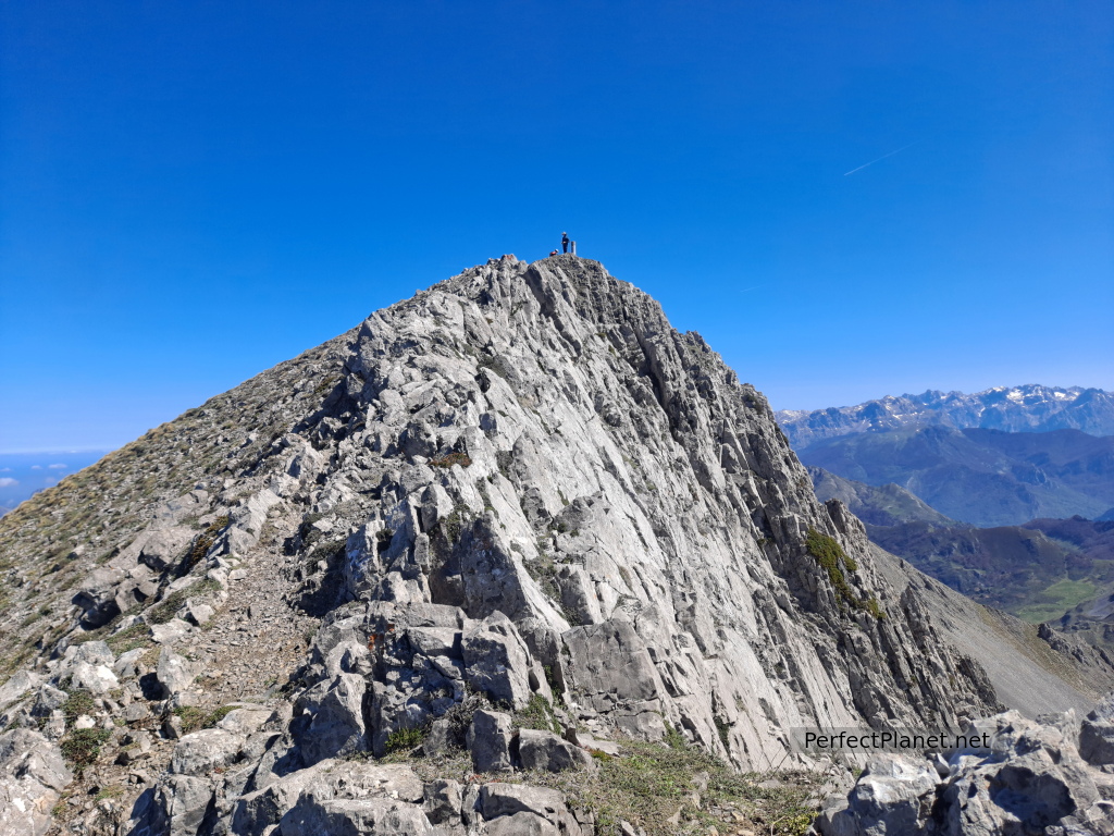
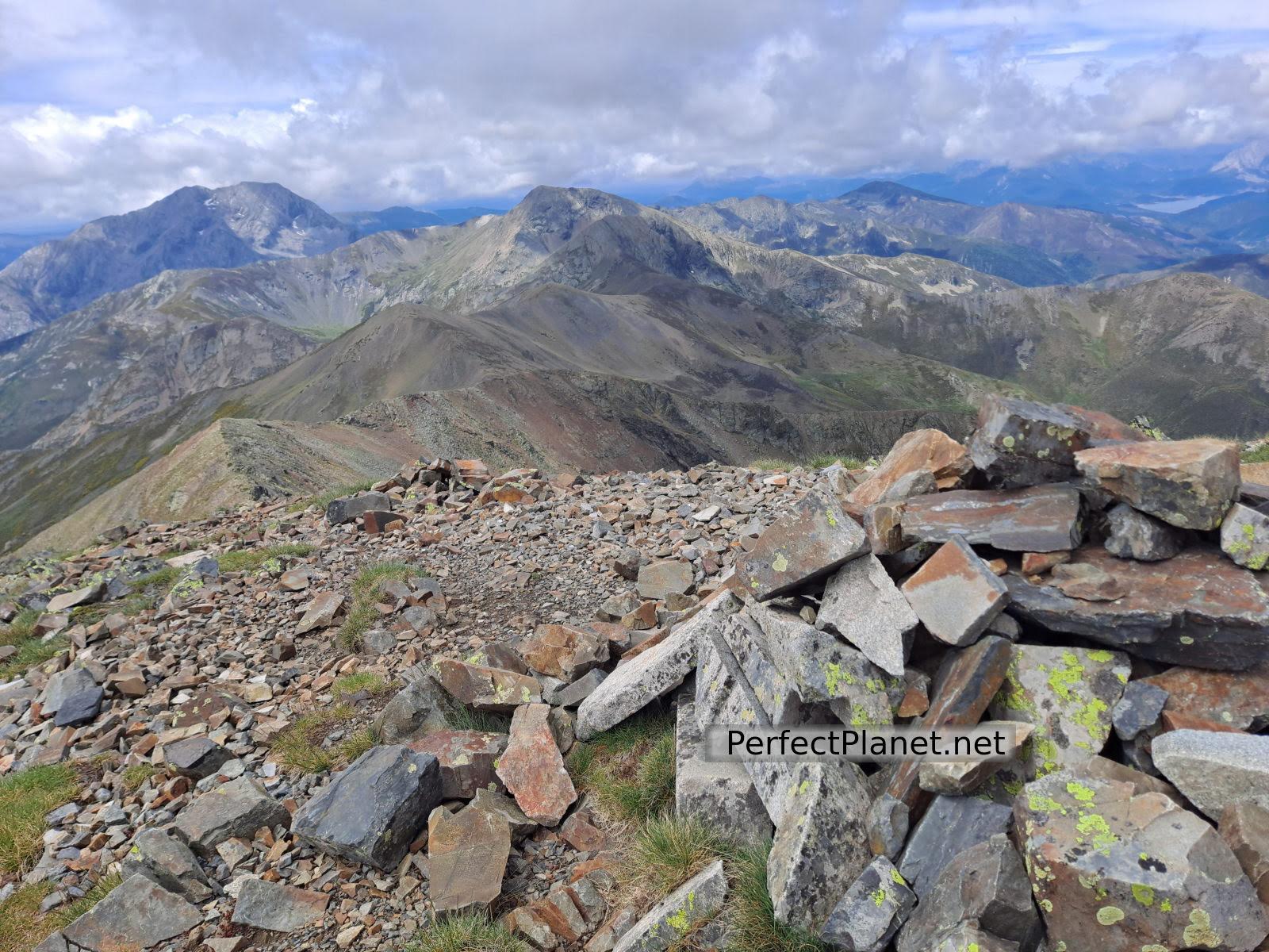
The Valjarto peak, 2,038 metres high, is one of the main peaks of the Mampodre Massif.
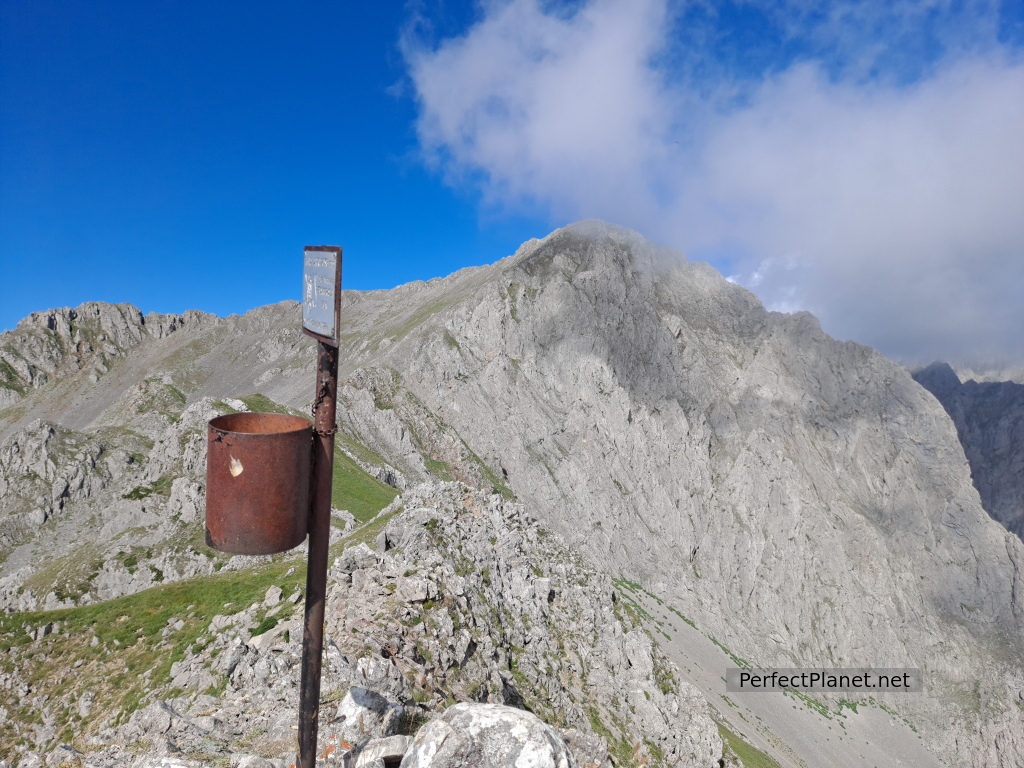
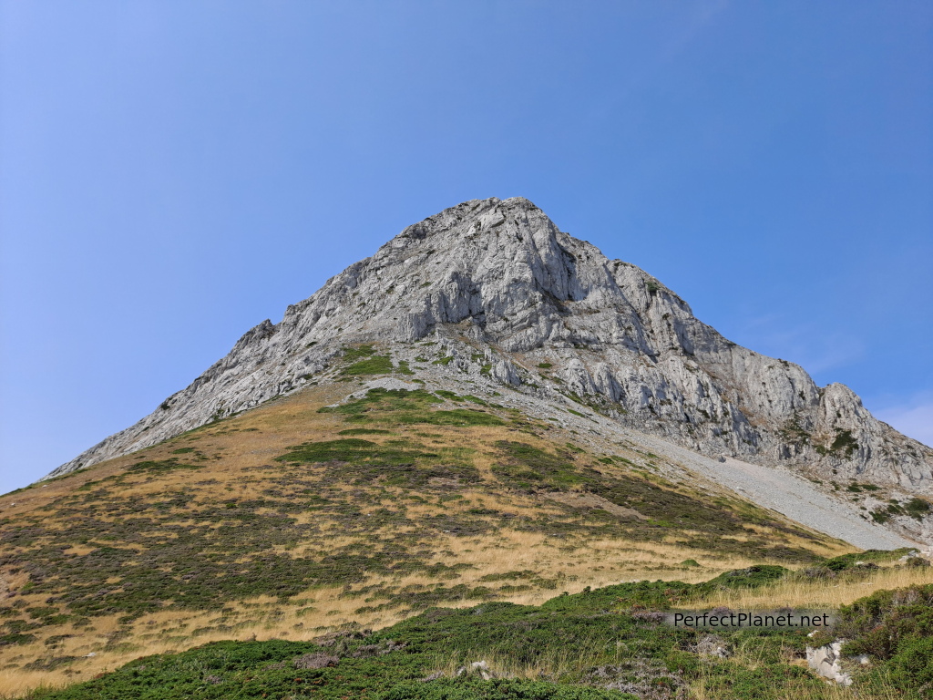
Valjarto and Mediodía peaks
- Read more about Valjarto peak
- Log in to post comments
The Valjarto peak, 2,038 metres high, is one of the main peaks of the Mampodre Massif.
Valjarto and Mediodía peaks
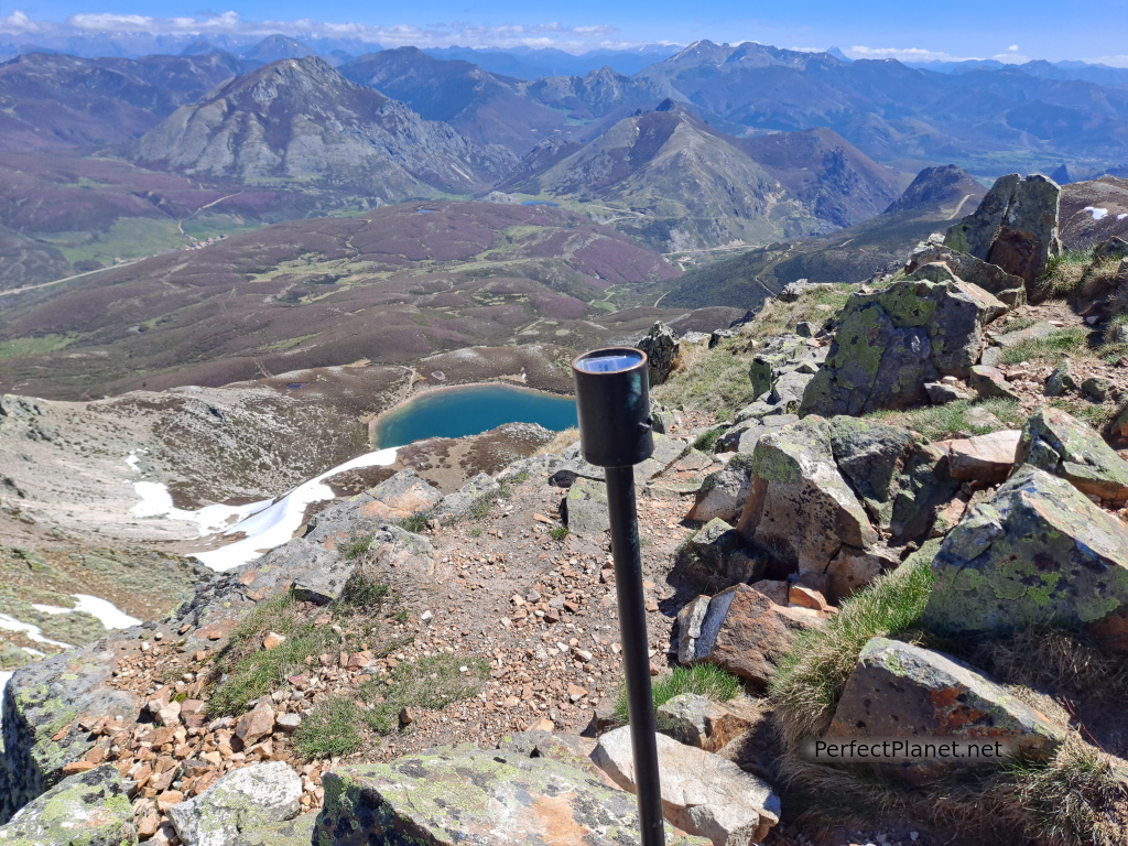
Circular route from Puerto de las Señales to Lago peak.
Lago peak
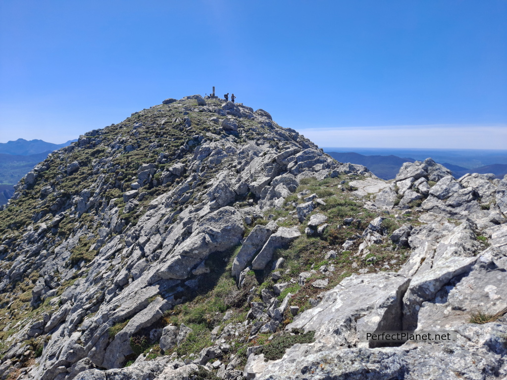
Surrounding the Ausente lake we find the small peaks of Requejines and Ausente.
Requejines summit
It is a nice and simple route to get to know the area of the San Isidro Winter Resort.
Despite not being one of the highest peaks in the area, the Susarón peak (1,878 metres) has something special that invites you to visit it.
Susaron
At 2,142 metres high, Peña Ten is one of the mythical peaks of the Riaño and Mampodre Regional Mountain Park and the Ponga Natural Park.
Peña Ten
At 1,967 metres high, the Yordas peak is another of the emblematic peaks of the Riaño and Mampodre Regional Mountain Park.
Yordas
Popularly known as the Leonese Matterhorn, the Gilbo peak (1,679 meters) is one of the most beautiful peaks of the Leonese mountains.
Gilbo
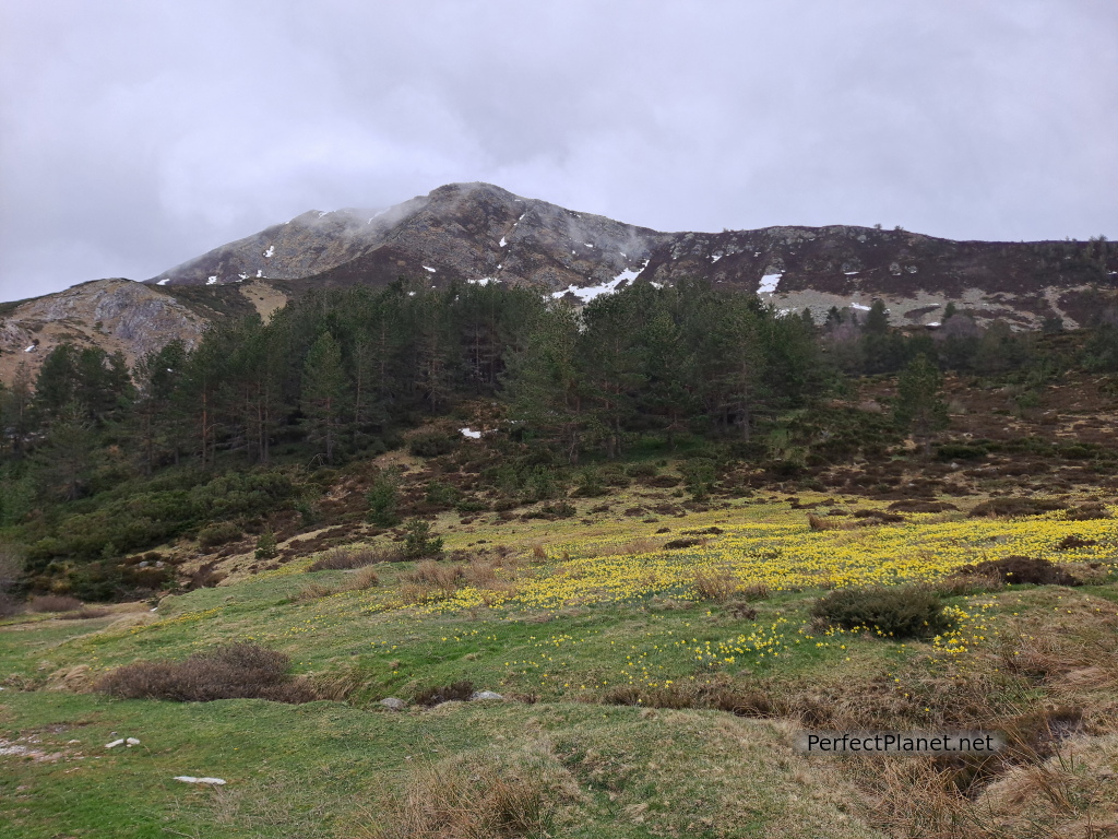
Circular Mampodre Massif from Maraña.
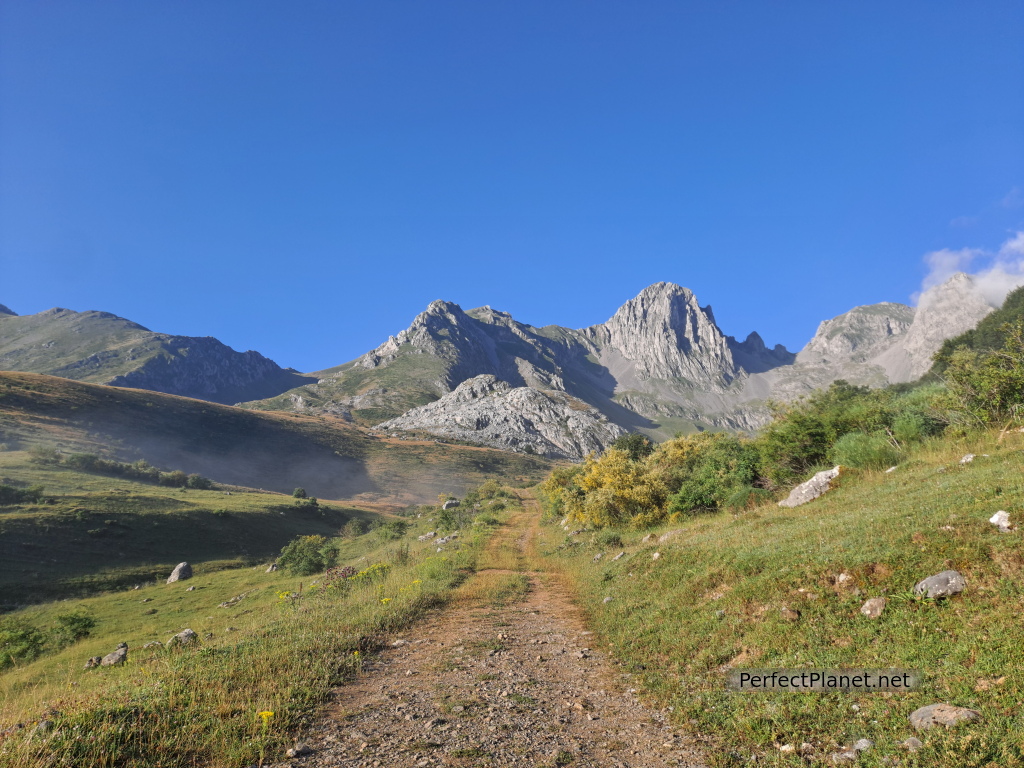
Mampodre massif
The Regional Mountain Park of Riaño and Mampodre is a protected natural area in the north-eastern part of the province of León.

Gilbo peak
At 2,457 metres high, the Cuartas peak offers panoramic views of the main peaks of the Palentina Mountain and Europe Peaks.
Cuartas peak