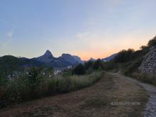
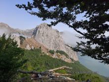
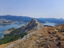
Popularly known as the Leonese Matterhorn, the Gilbo peak (1,679 meters) is one of the most beautiful peaks of the Leonese mountains.
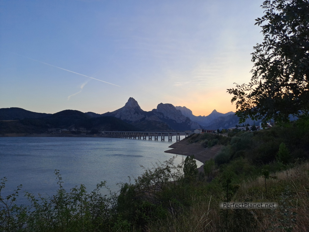
Gilbo
Although the ascent is not technically difficult, it does have some complicated steps due to the slippery terrain, as thousands of people climb this emblematic peak every year.
How to get there
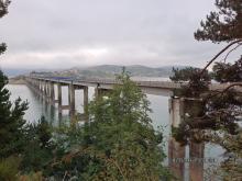
From Riaño take the N621 road, towards Cistierna, which crosses the longest bridge ever built over the reservoir. The car park is on the right-hand side of the road.
Description
We start our route from the car park next to the viaduct of the Riaño reservoir.
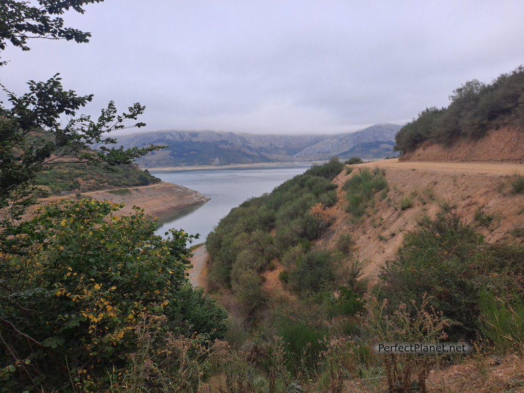
Riaño reservoir
We take the forest track that leaves the car park and goes around the reservoir for approximately 1.5 kilometres. The views of Riaño are magnificent.
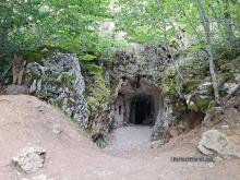
We continue along the path taking a detour on the left that goes into a beautiful beech forest that leads us to the Cueva de la Vieja del Monte, a mythological being from León who kneads bread in her cave to give it to the children, and to the bench of the viewpoint of Biescas with spectacular views of the reservoir.
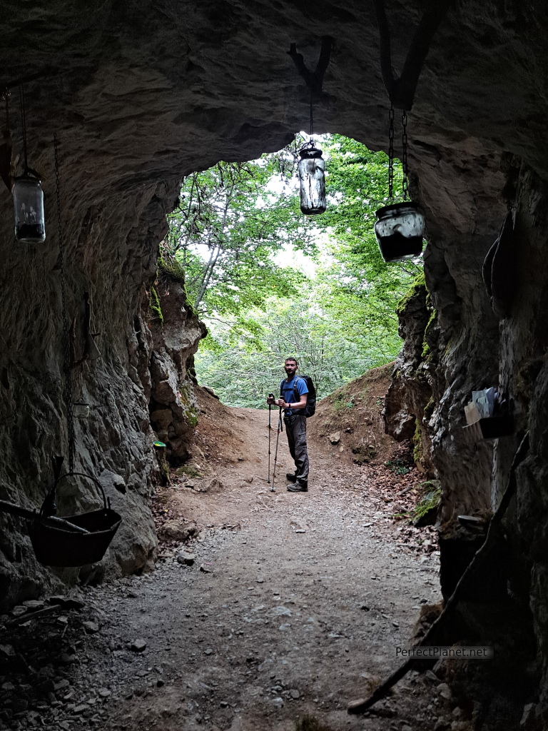
Cave
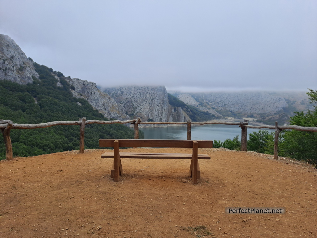
The bench
We continue ascending through increasingly rocky terrain until we reach the Vallarqué pass. We leave the crag to our right and continue on to the Pedrera pass.
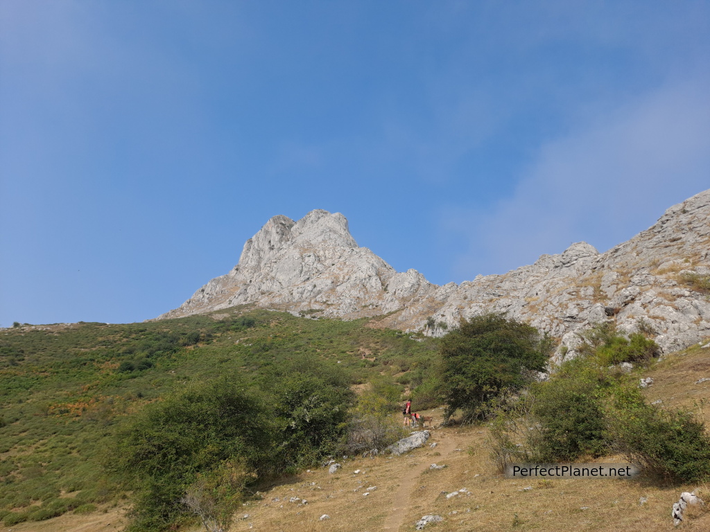
Gilbo
From here we follow the path to the summit.
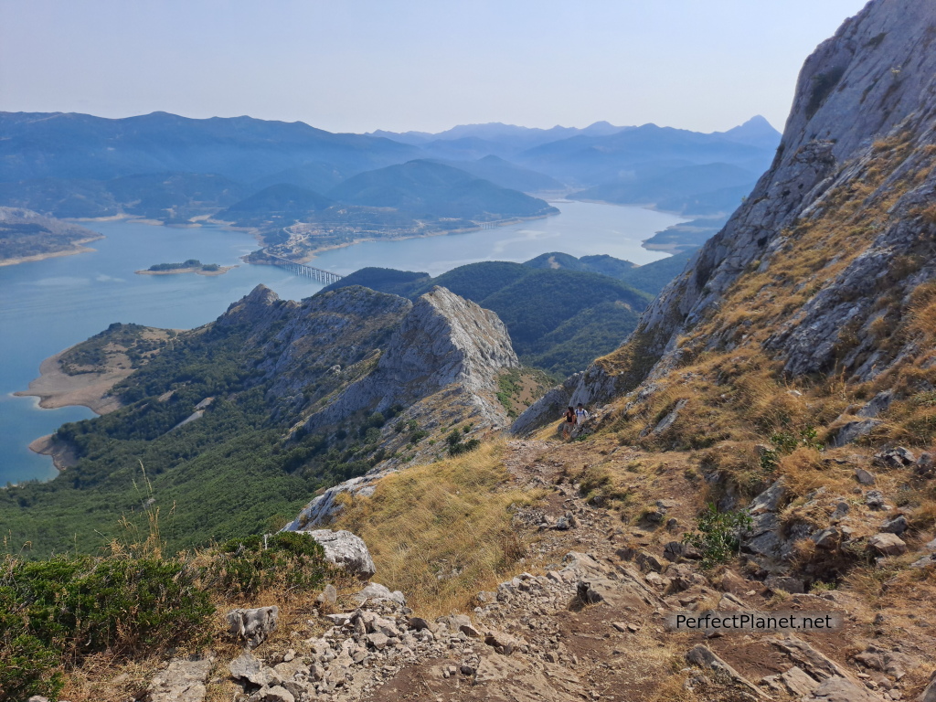
Path
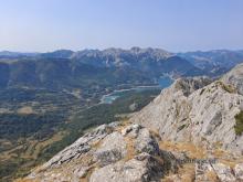
The views from the summit are spectacular.
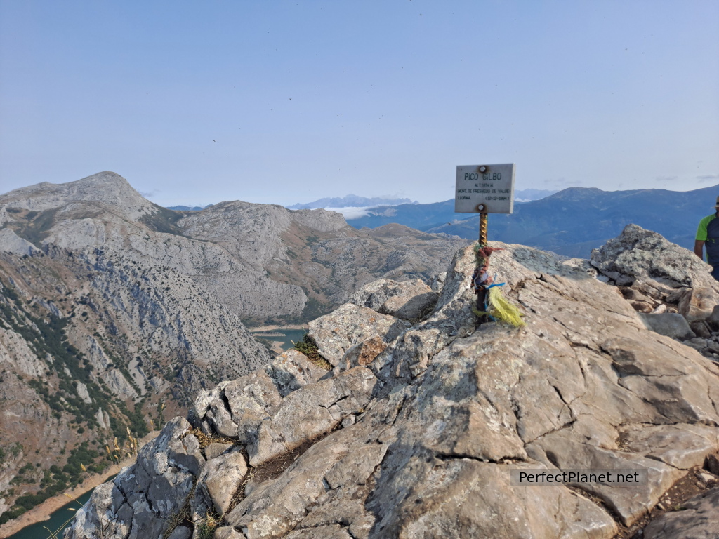
Gilbo
Descend along the same path to the Pedrera pass. The terrain is somewhat slippery in certain areas due to the stone being very polished, but it is easy to do.
From the Pedrera pass we descend to the right through a grassy area until we reach the forest.
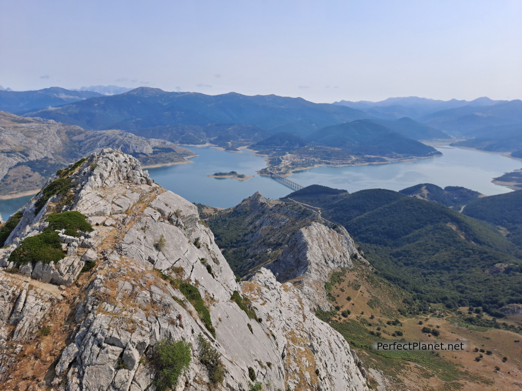
Gilbo
At the end of the forest we join the initial forest track that goes around the reservoir until we reach the car park.
Tip. It is a very busy route, especially in summer, so our advice is to get up early to avoid crowds.
Distance 8.5 kilometres
Unevenness 600 metres
Circular route
Whoever makes full or partial use of this track and its additional information, assumes full responsibility for the risks inherent in the practice of the activity, this information is for guidance purposes only.
Map
- Log in to post comments

