The peak or landmark of Tres Provincias with its 2,497 meters joins the provinces of Palencia, Leon and Cantabria within the Natural Park of Fuentes Carrionas and Fuente del Cobre in the Palentina Mountain.
Tres Provincias peak
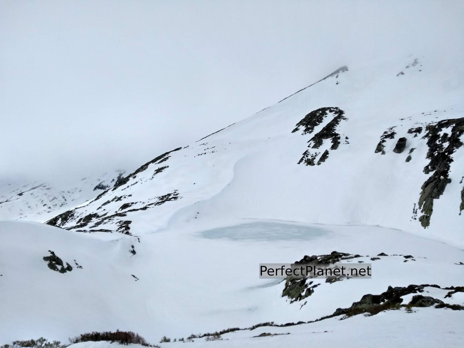
At its feet is the glacial lake of Fuentes Carrionas guarded by the Alto de Fuentes Carrionas (2,442 meters). These peaks are usually climbed taking advantage of their proximity to Peña Prieta since the access routes coincide.
How to get there
To start our route we leave the car in the Palencia town of Cardaño de Arriba following the P217 road. There is a small parking lot at the entrance of the village and there is another one across the river on the right.
Start of route
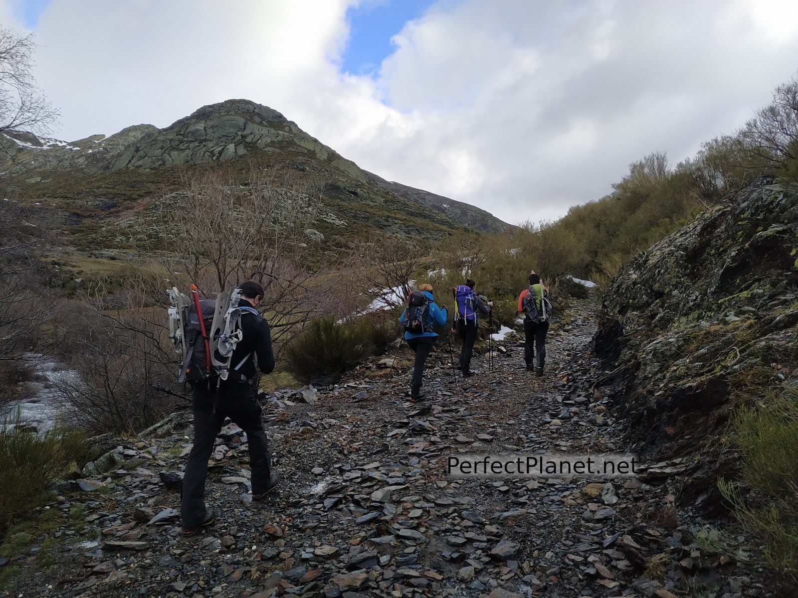
We start the route in Cardaño de Arriba following the signs to Pozo Lomas from the information panel next to the car park.
If you decide to start on the track that runs along the right bank of the stream of Las Lomas, follow this path until you reach the stream of Valcabe, where you will find a bridge and a small waterfall. Crossing the bridge the track divides in two, to the left is the route to Murcia Peak. Continue straight on, following the Pozo Lomas path (PR10).
If you decide to start the path from the village you have to walk to the church and from here follow parallel to the left bank of the stream until you reach a bridge where you cross the river to join the Pozo Lomas path (PR10).
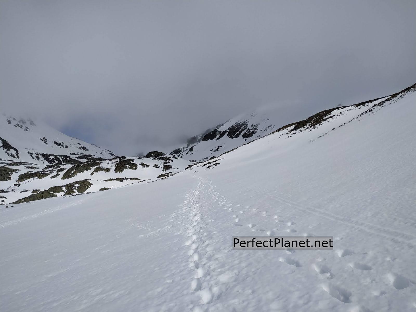
The path is simple and well signposted. We walk the 6 kilometres (650 metres of height difference) to the well, crossing the river on two occasions over bridges.
Path
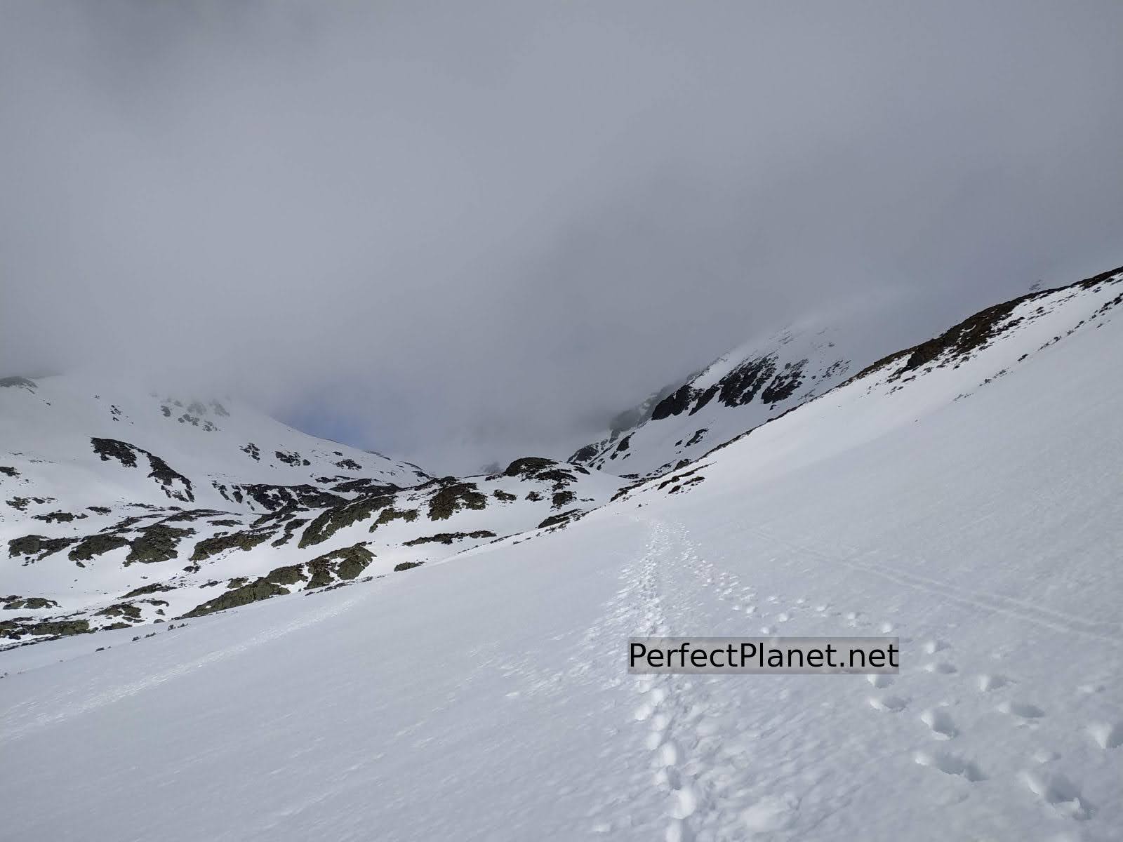
Little by little the ascent becomes steeper, although it is a very progressive slope. Before reaching the Alto de la Majada de las Vacas the path forks, we continue straight on but to the right you can reach the Ves waterfall. There is a lot of snow but it is hard, so you don't need snowshoes.
Again we come to a bridge over the stream of Lomas, from here the path is narrower and surrounded by brooms. Following the milestones we reach the Alto de la Lomba.
Path
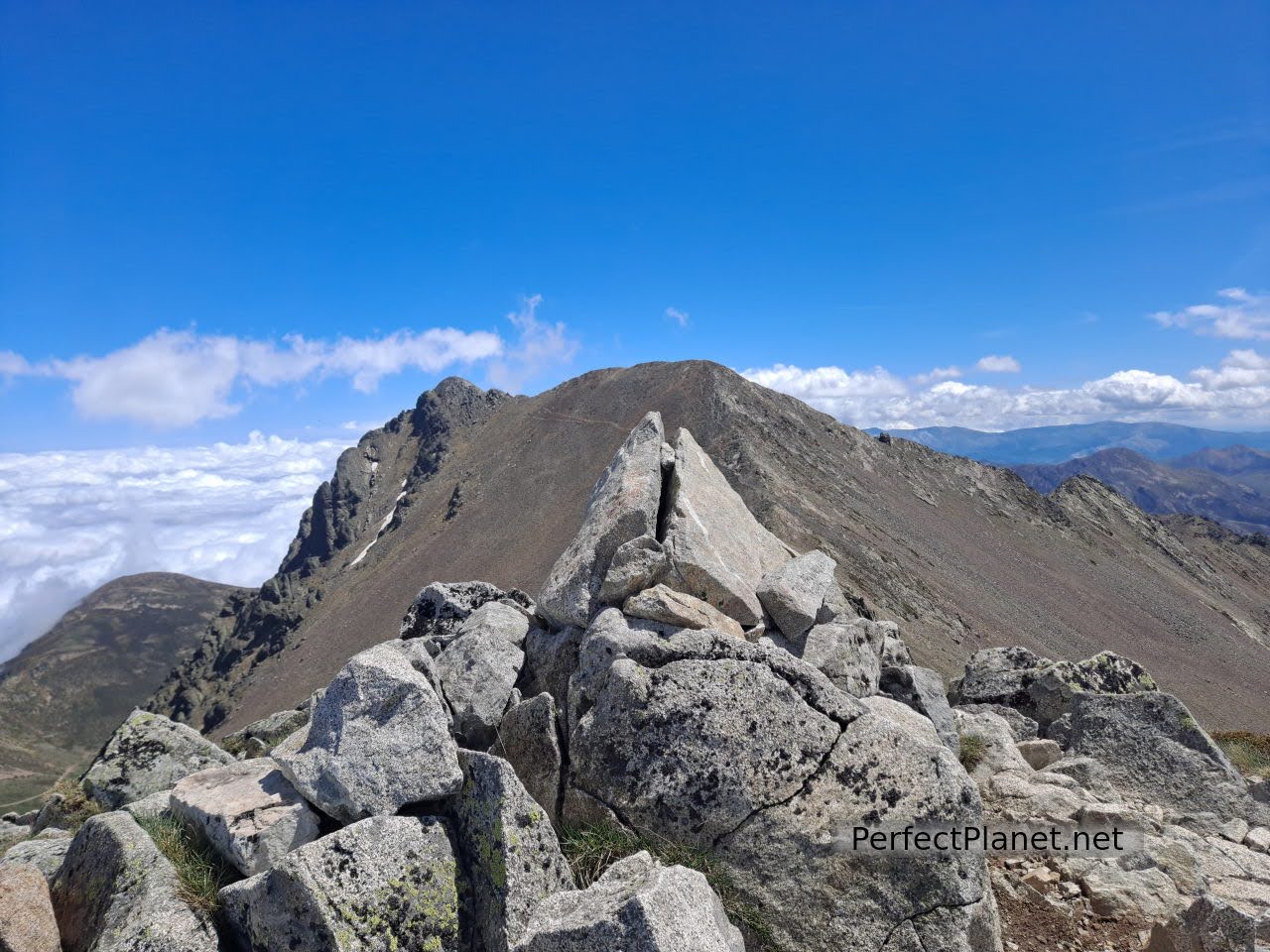
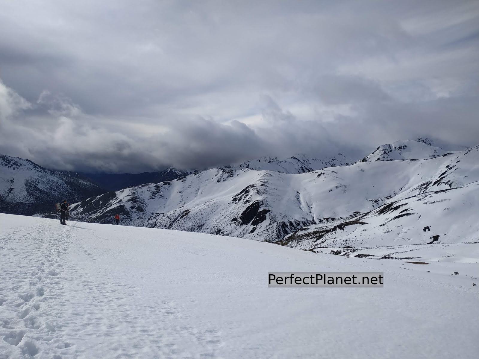
From here there is a good panoramic view if the day is clear, in the background the Agujas de Cardaño, to our right the Alto del Ves and the Curavacas and behind us the Espigüete.
Views
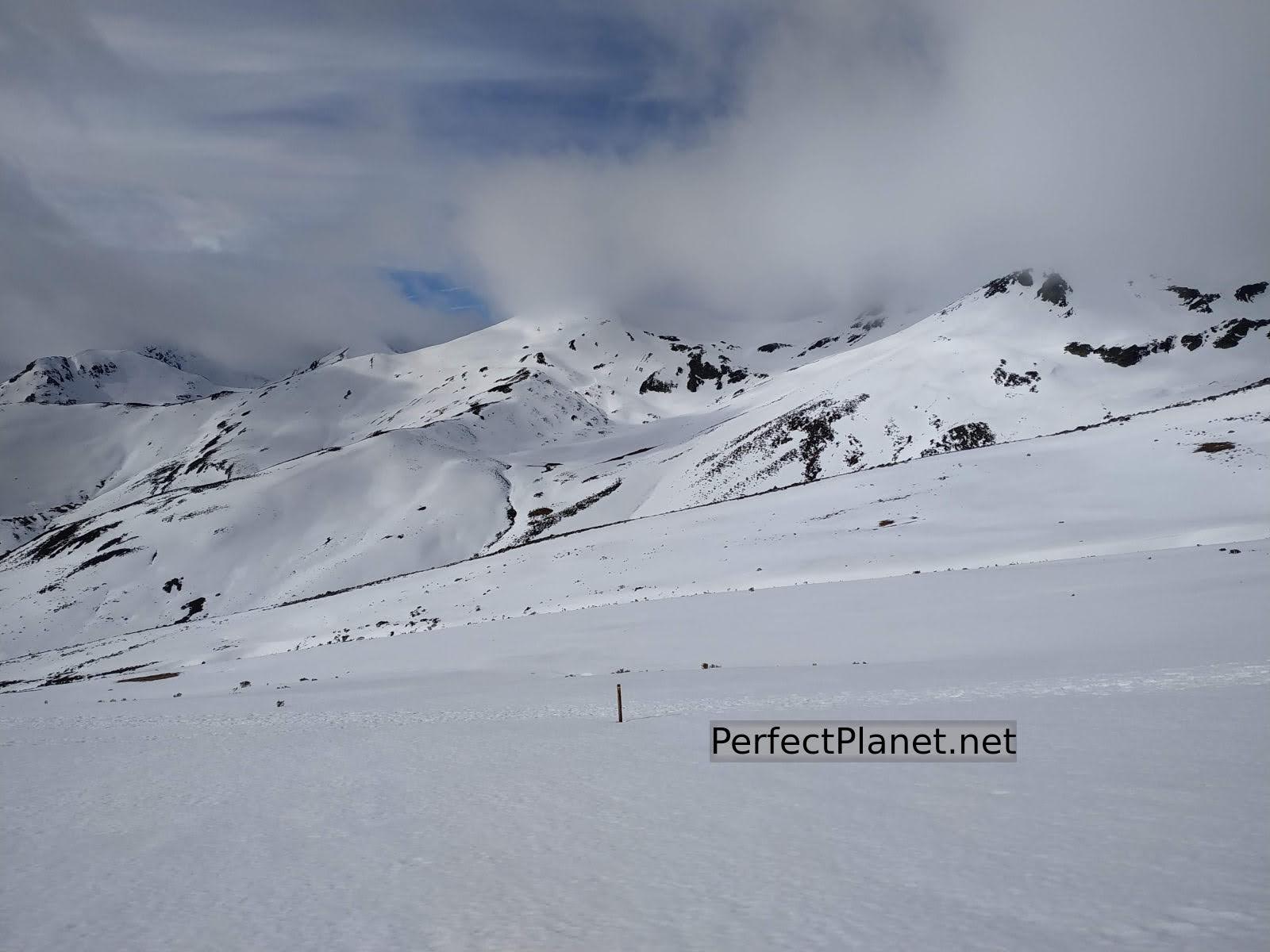
We continue taking the Agujas de Cardaño as a reference point. After this last stretch we come to the impressive Pozo Lomas, an obligatory stop on this route.
Needles of Cardaño in the background
From here we have two options: either to climb the classic route to the Alto del Tío Celestino and Alto de Fuentes Carrionas or to continue to the Agujas de Cardaño and climb the 45-degree channel.
It all depends on the time of year and the state of the snow. We have made this winter ascent several times via the Agujas de Cardaño, descending via the Alto del Tío Celestino and also via the classic route.

Pozo Lomas
Both options are incredible and we are sure you will enjoy them because the scenery is spectacular. The views of the most important peaks of the Montaña Palentina Mountain are exceptional. If you have the strength and the weather is good, you can continue on to Peña Prieta or Infierno Peak.
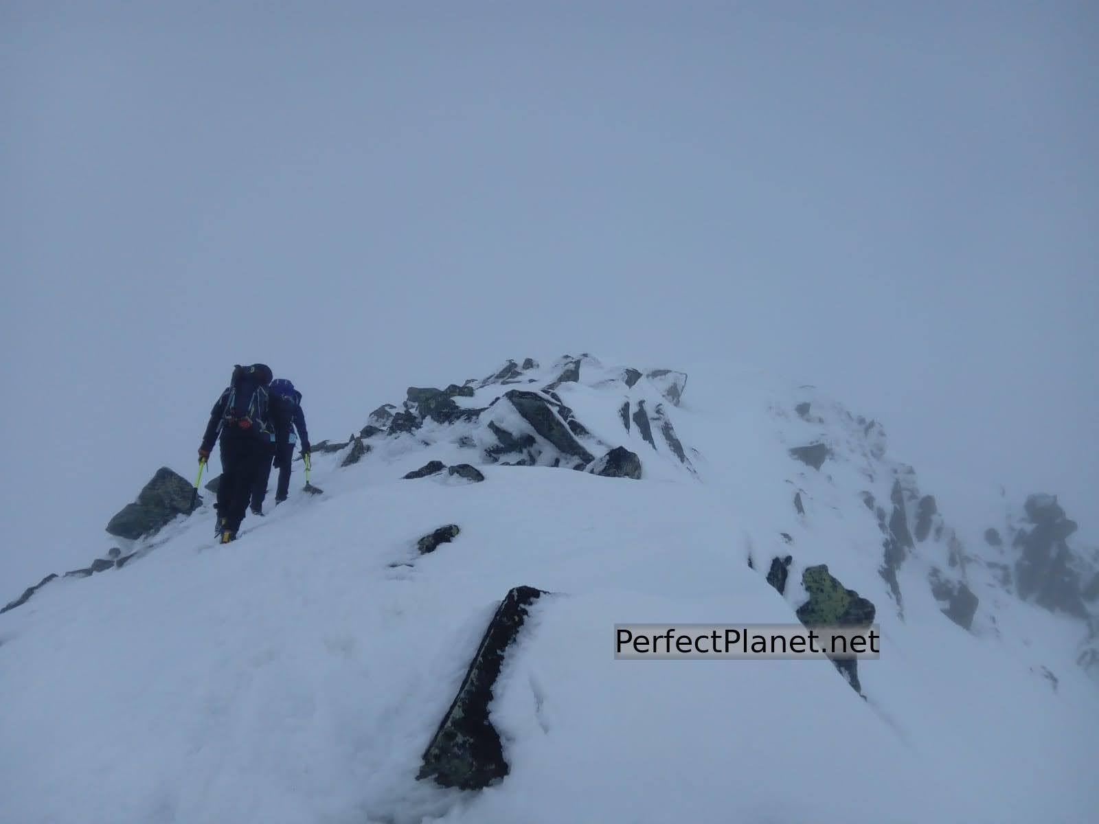
On this occasion we put on our crampons and climb the Agujas. We wrap up warm as it looks like there will be a lot of wind once we get to the top.

Summit
Once at the top, barely half a kilometre separates us from the summit. It's a pity that the weather is not in our favour.
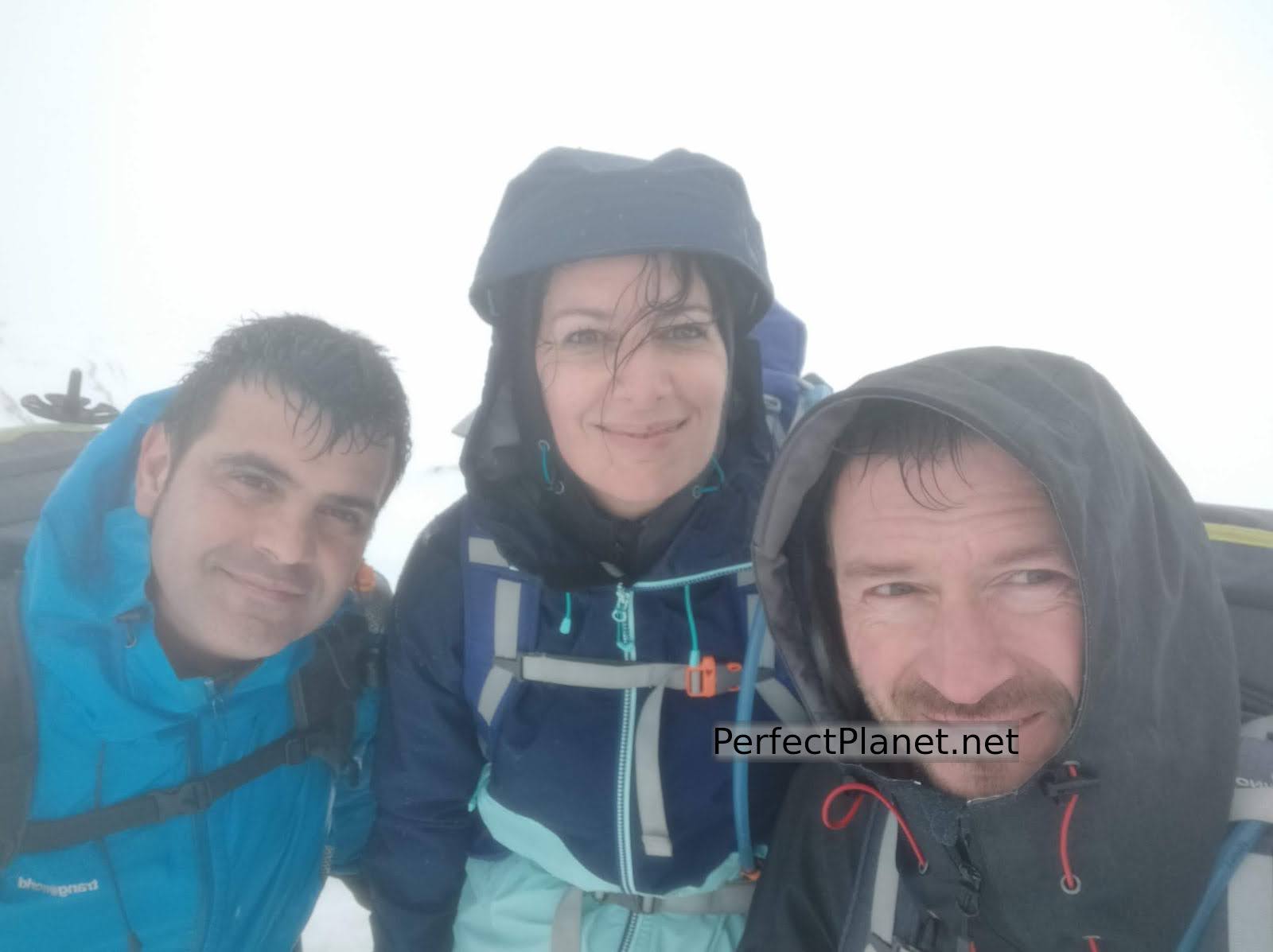
Summit
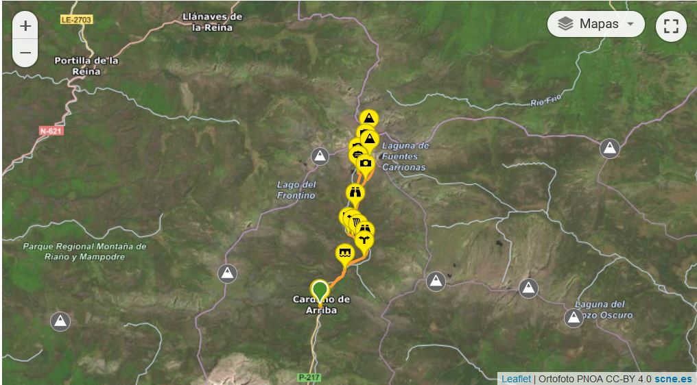
Map
WINTERNAL
Route: circular
Distance: 16 kilometres
Elevation gain: 1,200 metres
Track in Wikiloc
Difficulty: medium
Tips: if you do this route in summer remember that there is no shade along the whole route so you should always be protected with sun cream and carry enough water. If you do the winter variant remember to bring full equipment, ice axe and crampons.
NO SNOW
Route: circular
Distance: 16 kilometres
Elevation gain: 1,100 metres
Track in Wikiloc
Difficulty: medium
Tips: if you do this route in summer remember that there is no shade along the whole route so you should always be protected with sun cream and carry enough water. If you do the winter variant remember to bring full equipment, ice axe and crampons.
You may be interested in
Mazobre waterfall
Murcia peak
Peña Tejo
- Log in to post comments