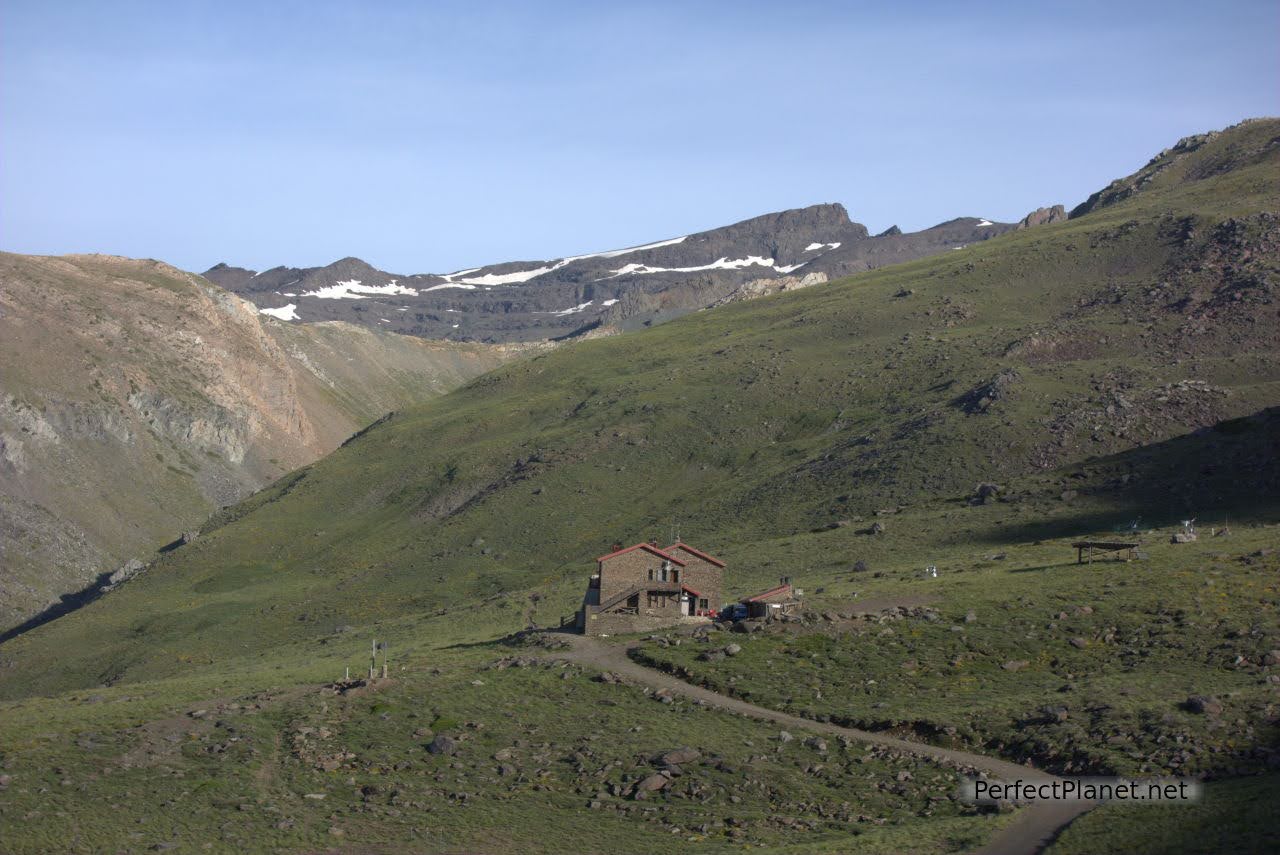
Poqueira refuge to Collado de Siete Lagunas. From the Poqueira refuge we start the route to the Alto del Chorrillo.
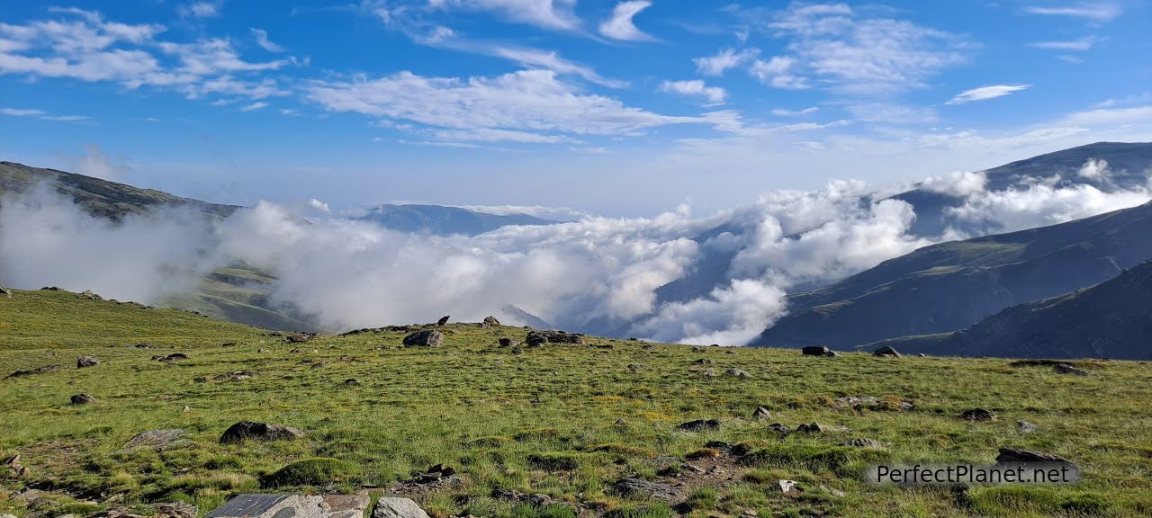
Views from Poqueira refuge
We take the path that leads to the Mulhacén that comes out on the left hand side. After one kilometre we take the turn-off to Siete Lagunas marked on a stone.
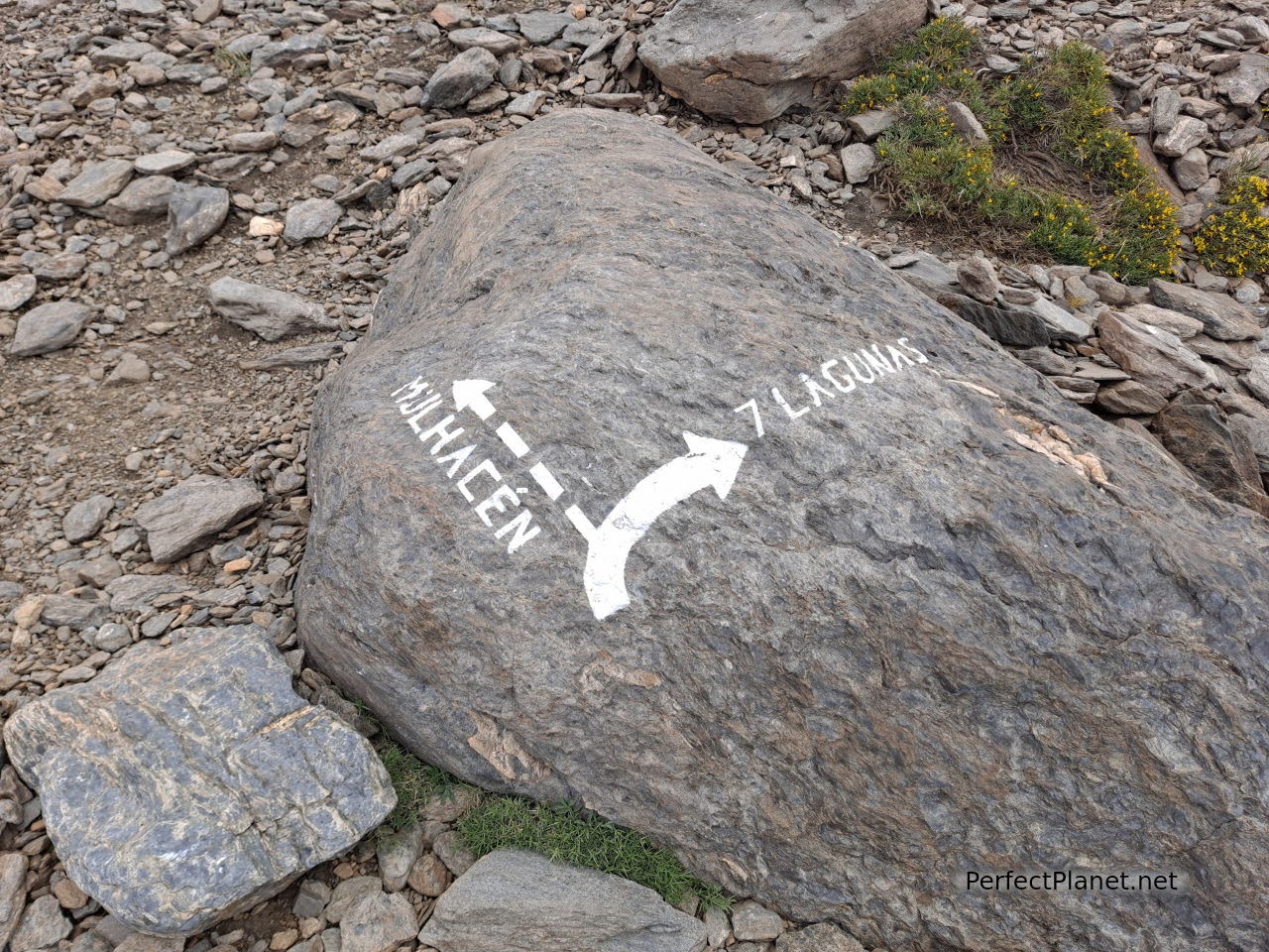
The turn-off to Siete Lagunas
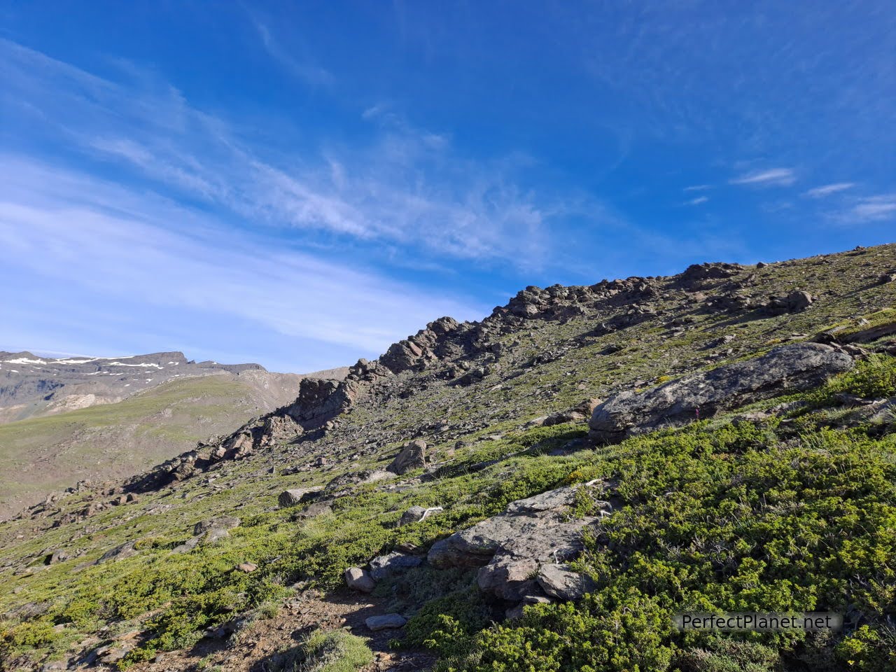
On the road
Half a kilometre later we approach the Peñón Negro to enjoy the views of the Trevélez valley. We continue along the path until we descend to the bivouac shelter of Laguna Hondera.
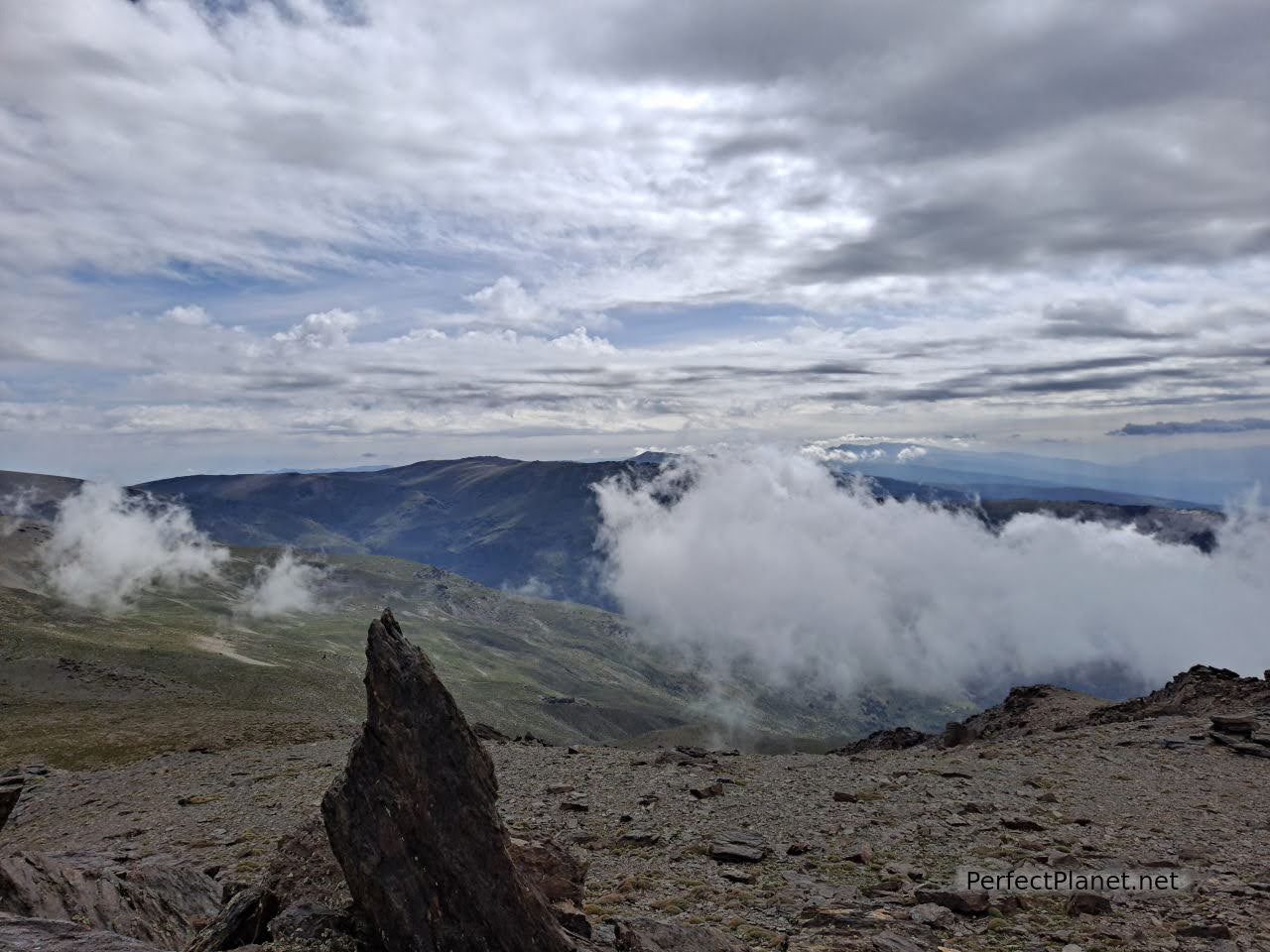
Peñon Negro
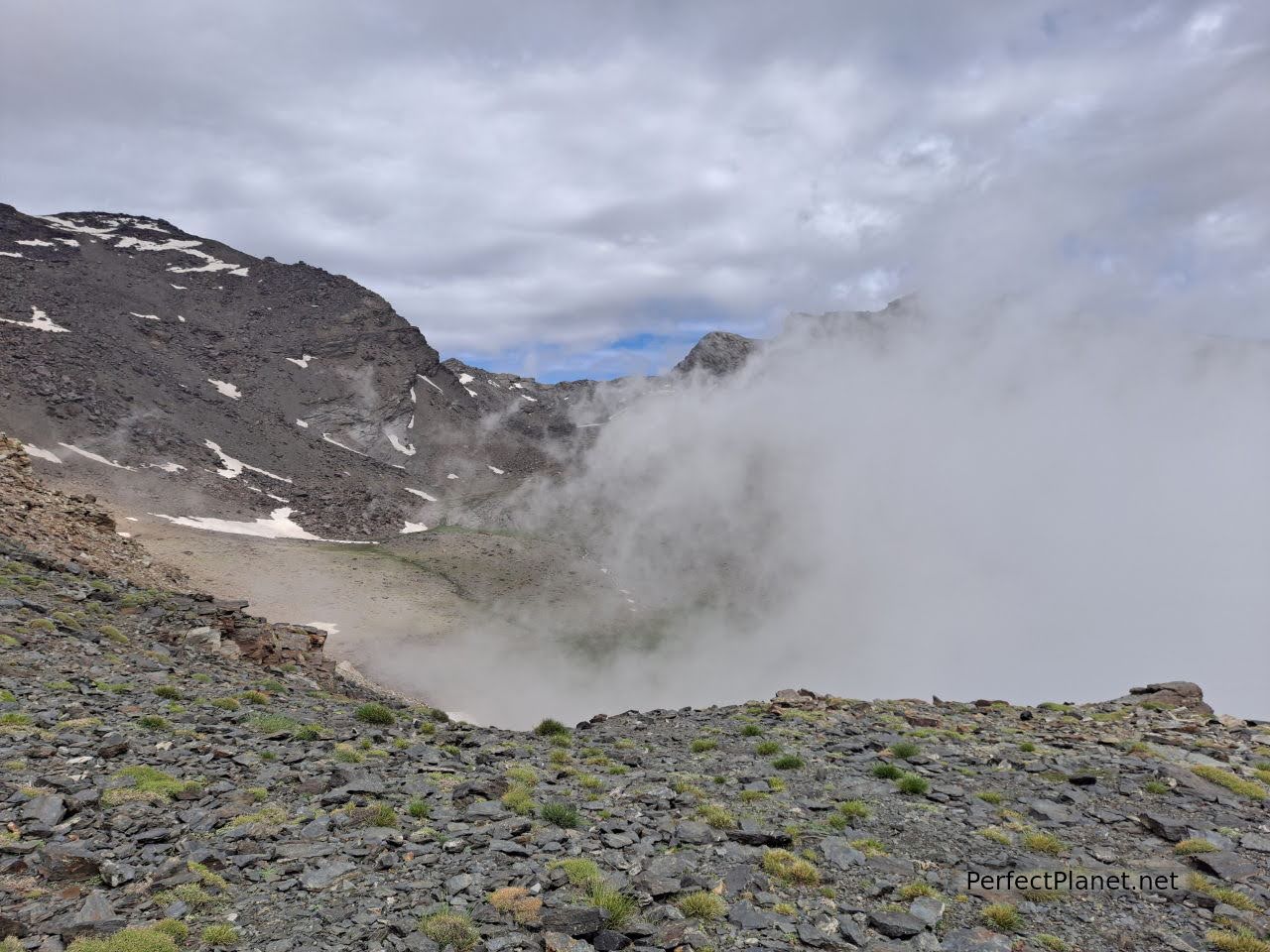
From here we can climb the dog's arse hill or the Colaero to the Alcazaba peak. We return along the same path. Spectacular.
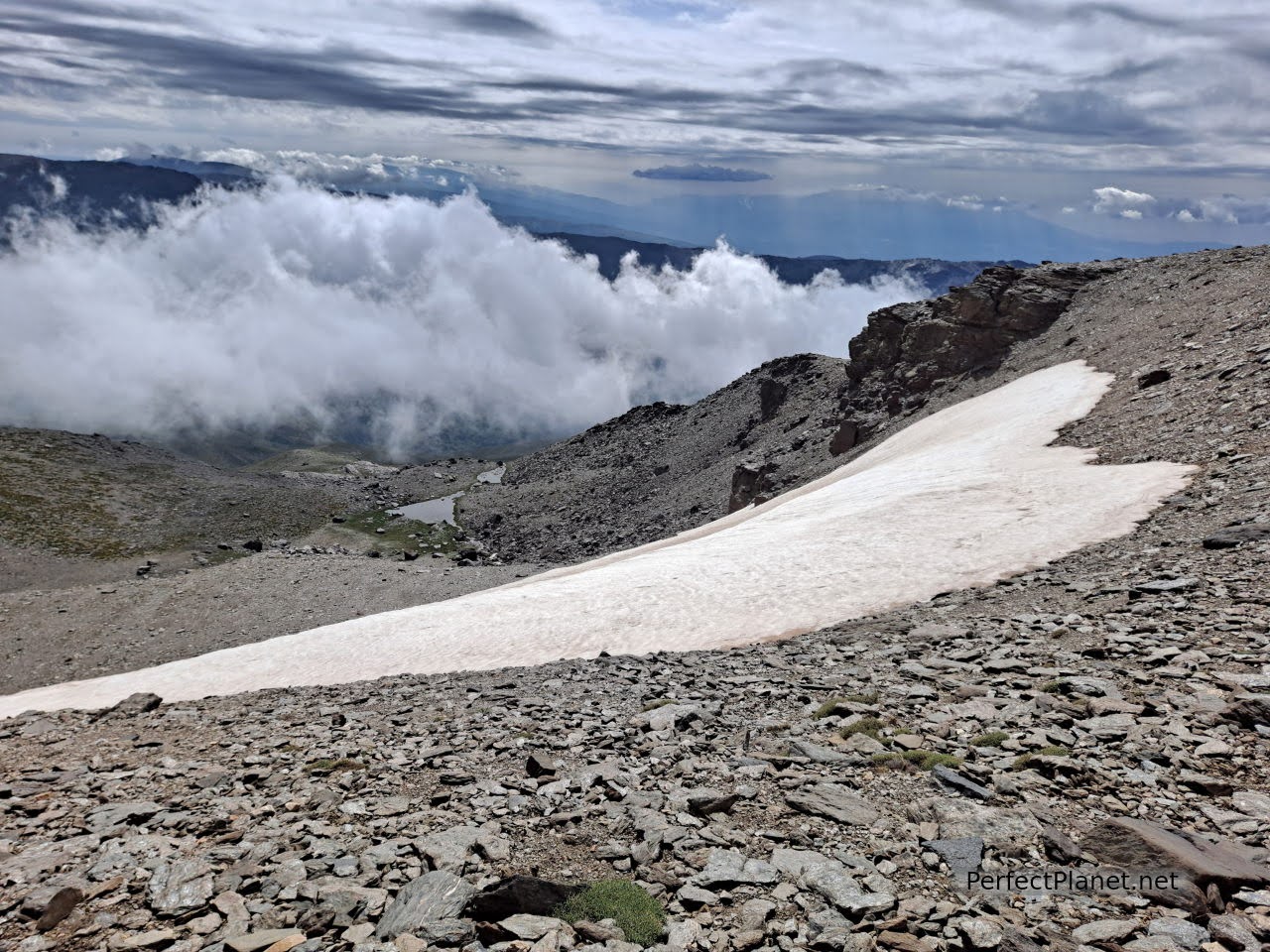
Snowdrift
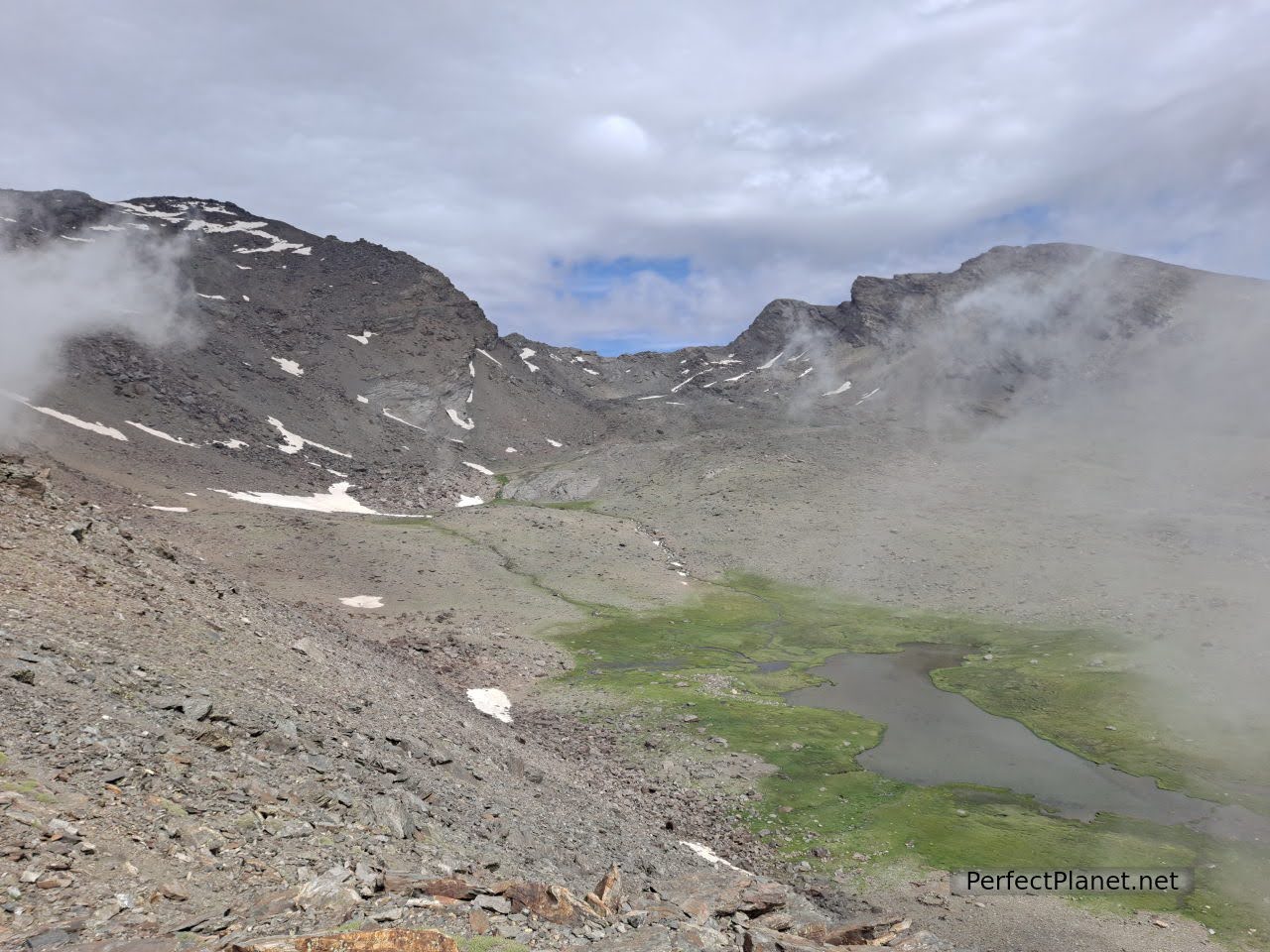
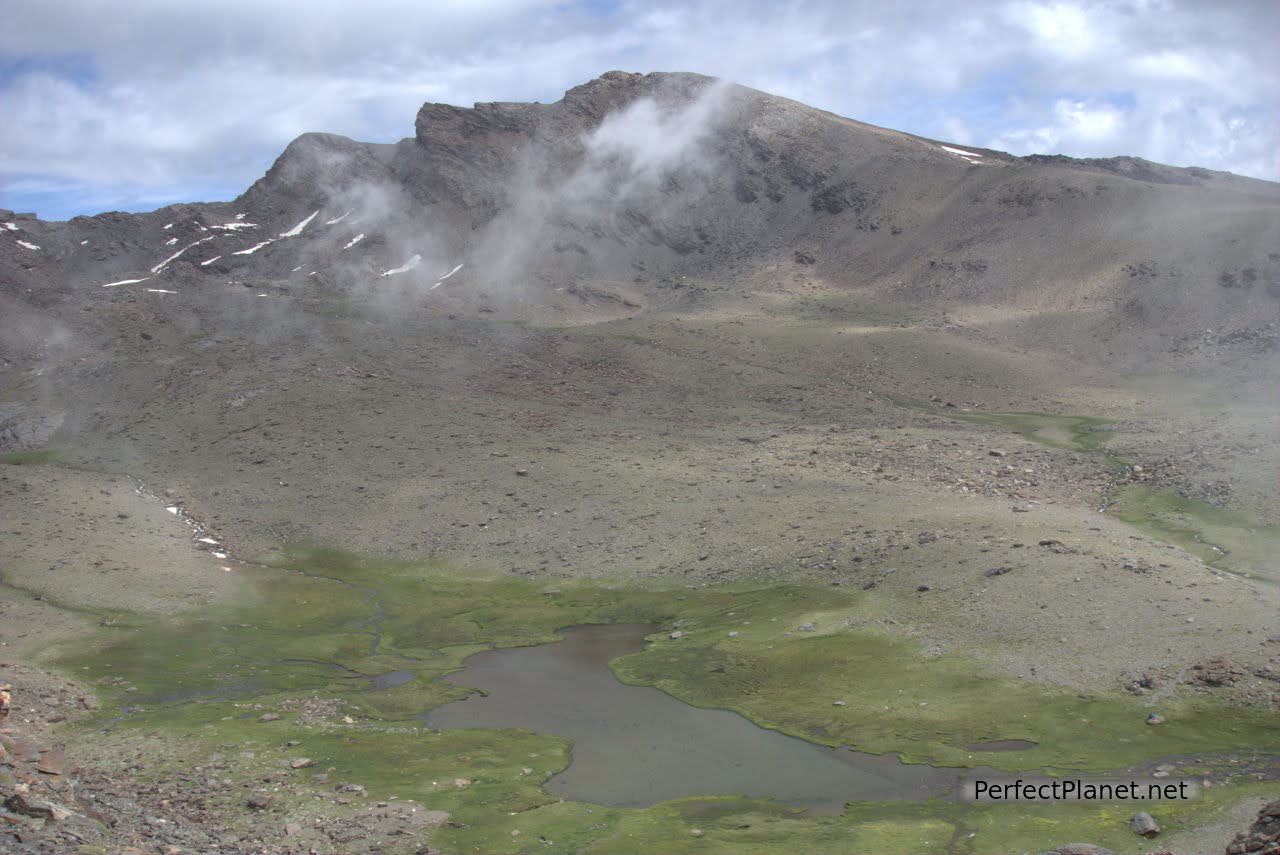
Mulhacen and Alcazaba, Siete Lagunas
Mulhacen
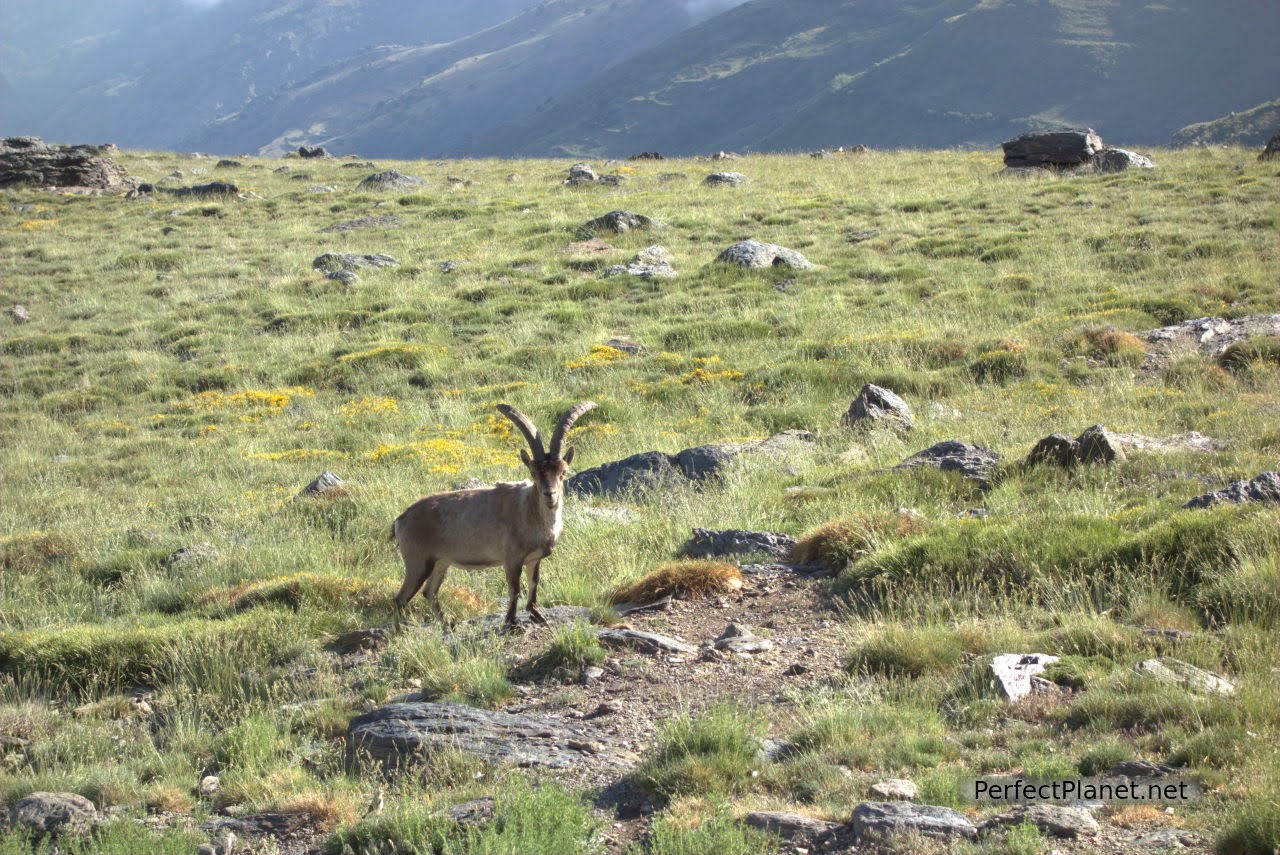
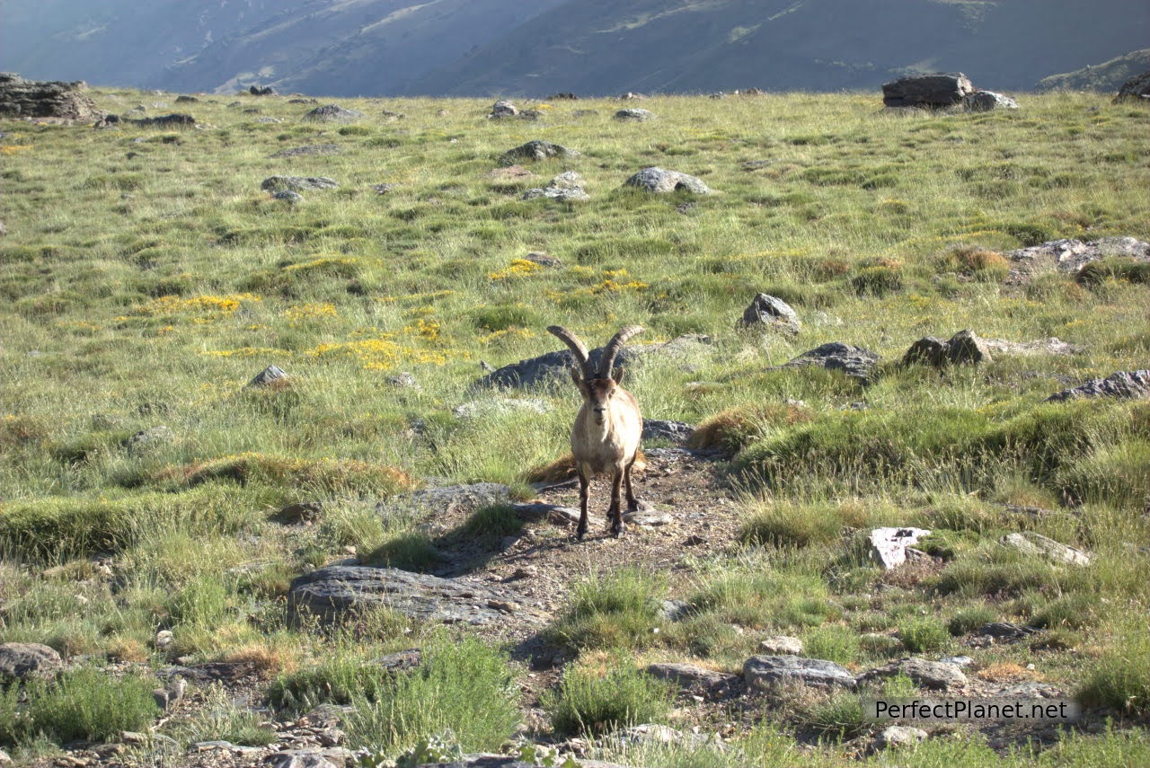
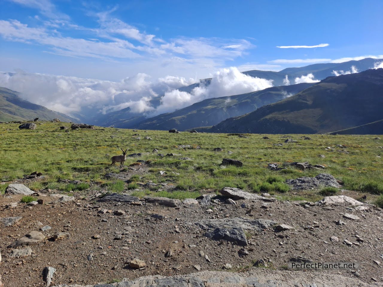
Goat
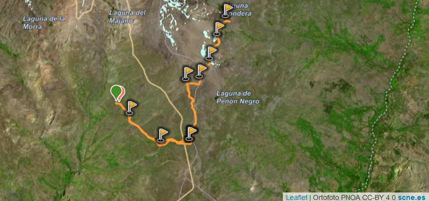
Map
Route: circular
Distance: 14 kilometres.
Difference in altitude: 800 metres
Tips: we start the route from Poqueira refuge going up to west face and going down to south face. Wikiloc track.
Difficulty: medium, no technical difficulty.
Signposting: good.
We added 200 metres of elevation gain and 3.5 kilometres on our way back from the refuge to the Alto del Chorrillo.
Whoever uses and follows all or part of this track and its additional information, assumes full responsibility for the risks inherent to the practice of the activity, this information is for guidance purposes only.
- Log in to post comments