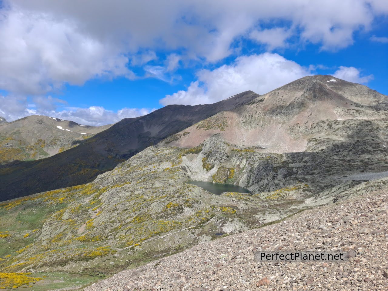
This glacial lake, located at an altitude of 2,050 metres, is one of the best known and most accessible hiking routes in the Palentina Mountain.
Lomas well
Surrounded by the Agujas de Cardaño and Lomas peak, it is located in a spectacular setting.

Cardaño Needles
How to get there
To start our route we leave the car in the Palencia town of Cardaño de Arriba following the P 217 road. There is a small car park at the entrance to the village and there is another car park across the river on the right.
We start the route in Cardaño de Arriba following the signs to Pozo Lomas from the information panel next to the car park.
Walk along a track that runs along the right bank of the Lomas stream. Following this path we reach the Valcabe stream, where we find a bridge and a small waterfall. Crossing the bridge the track divides in two, to the left is the route to Murcia Peak. We will continue straight on, following the Pozo Lomas path.
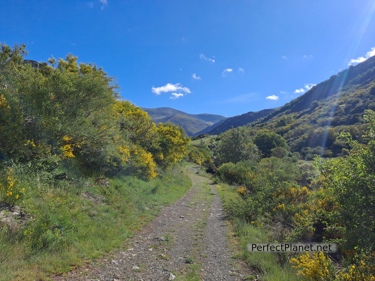
Lomas path
The path is simple and well signposted. We walk the 6 kilometres (650 metres in height) to the well, crossing the river on two occasions over bridges.
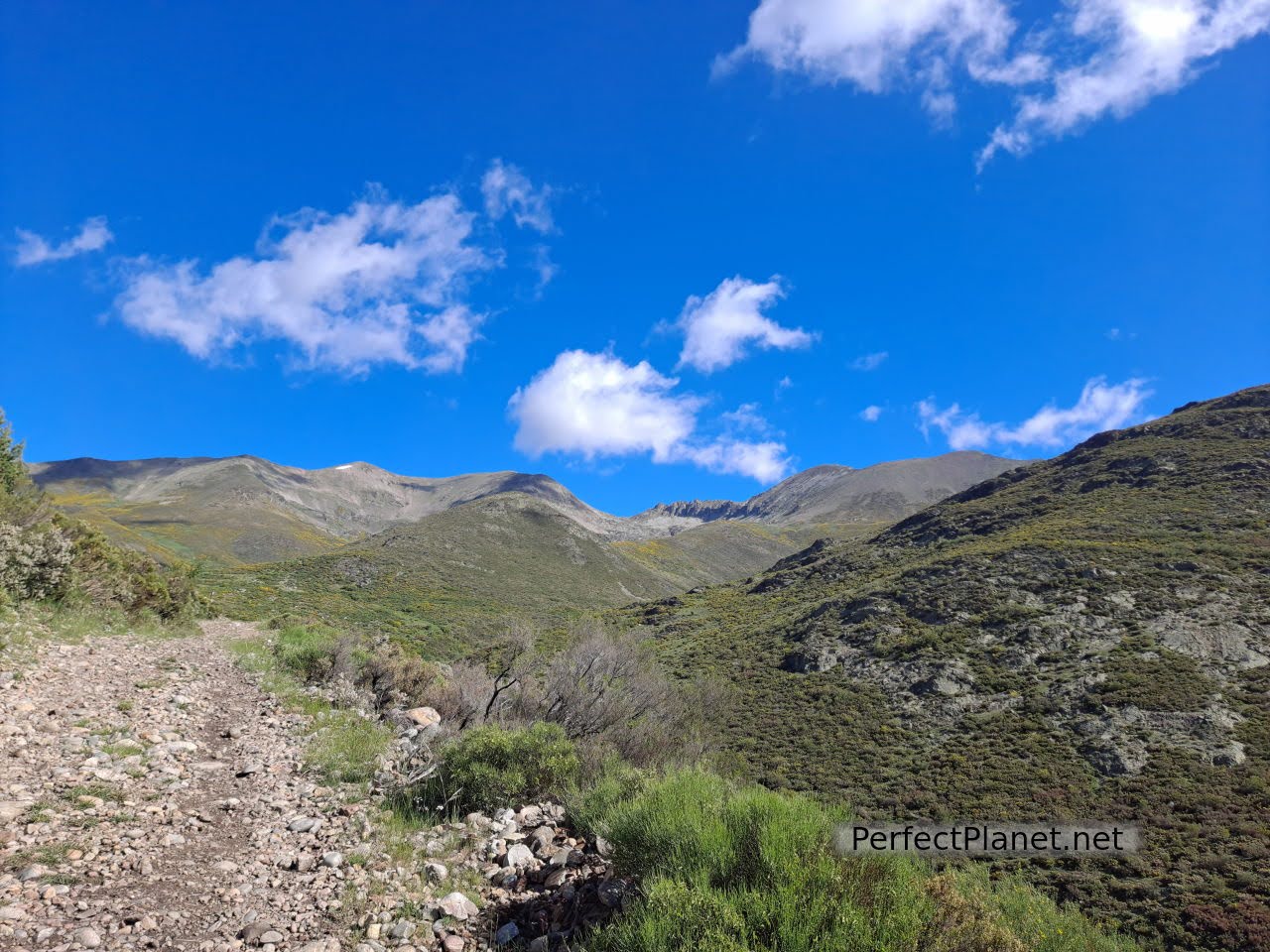
Gradually the ascent becomes steeper, although the gradient is very gradual. Before reaching the Alto de la Majada de las Vacas the path forks, we continue straight on but to the right you can reach the Ves waterfall.
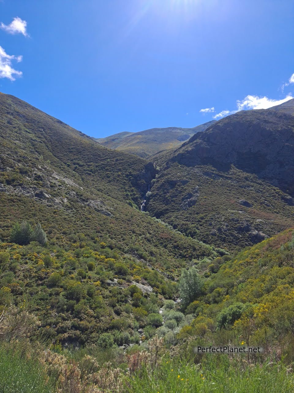
Ves waterfall
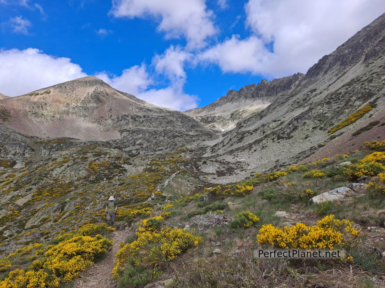
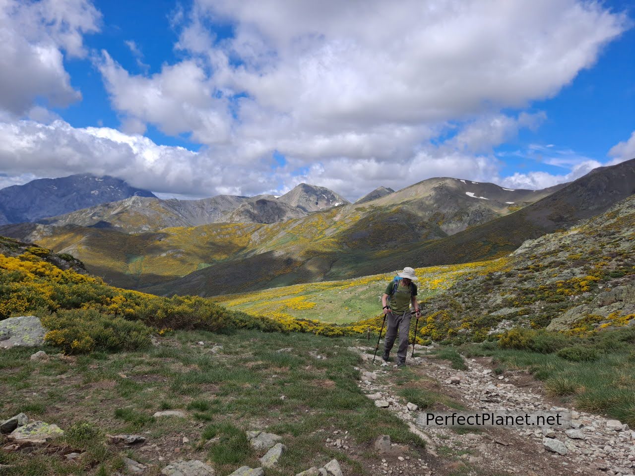
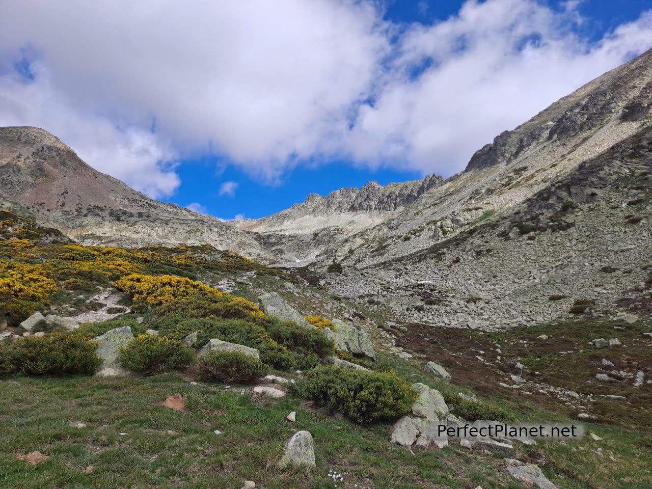
From here the path is narrower and surrounded by brooms. Following the milestones we reach the Alto de la Lomba.

Lomas path
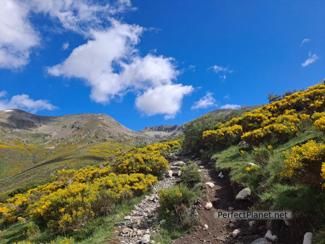
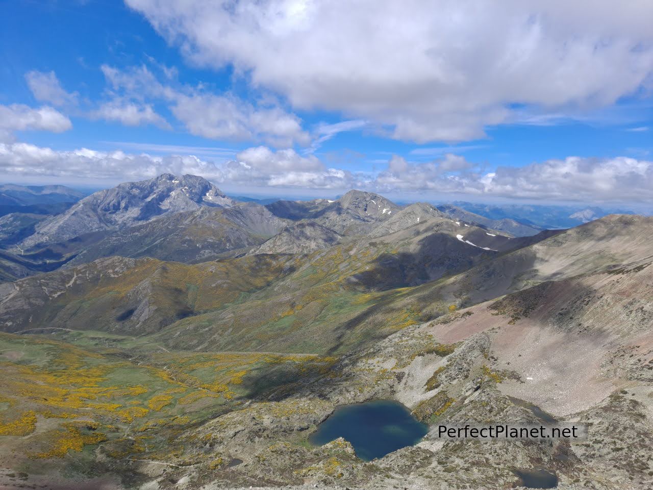
From here a wonderful panoramic view opens up before our eyes, in the background the Agujas de Cardaño, to our right the Alto del Ves and the Curavacas and behind us the Espigüete.
Lomas path
We continue taking the Agujas de Cardaño as a reference point. After this last stretch we come to the impressive Pozo de las Lomas.
Agujas de Cardaño
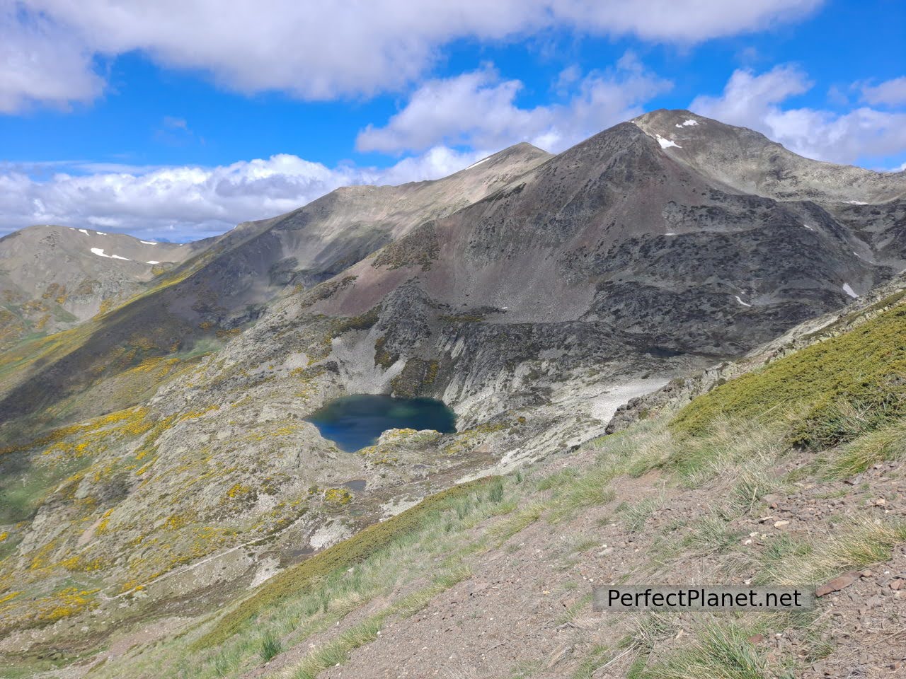
Pozo Lomas
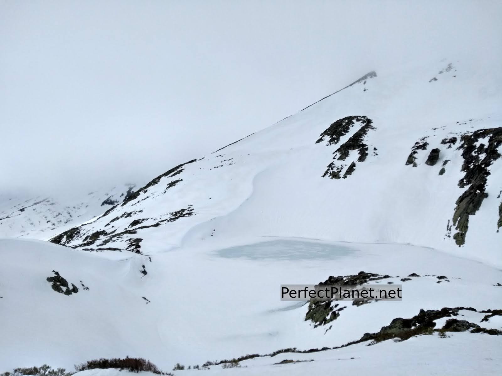
Pozo Lomas in winter
We returned the same way.
Map
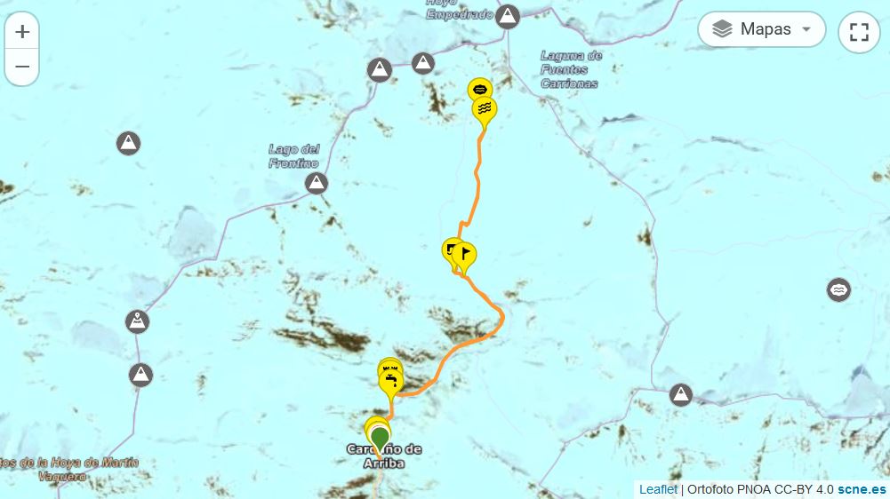
Route: linear
Distance: 12 kilometres round trip
Elevation gain: 650 metres
Track on Wikiloc
Difficulty: medium
Tips: if you do this route in summer remember that there is no shade along the whole route so you should always be protected with sun cream and carry enough water. If you do the winter variant remember to bring full equipment, ice axe and crampons.
Whoever makes full or partial use of this track and its additional information, assumes full responsibility for the risks inherent in the practice of the activity, this information is for guidance purposes only.
You may be interested in
Mazobre waterfall
Murcia peak
Peña Tejo
- Log in to post comments