The Espigüete peak with its 2,450 meters high is one of the most spectacular peaks of the Montaña Palentina.

Espigüete
Together with the Curavacas and Peña Prieta peaks, they are the main summits of the Natural Park of Fuentes Carrionas and Fuente del Cobre.
There are several ways to access the summit, this time we chose to climb the east ridge and descend the south face.
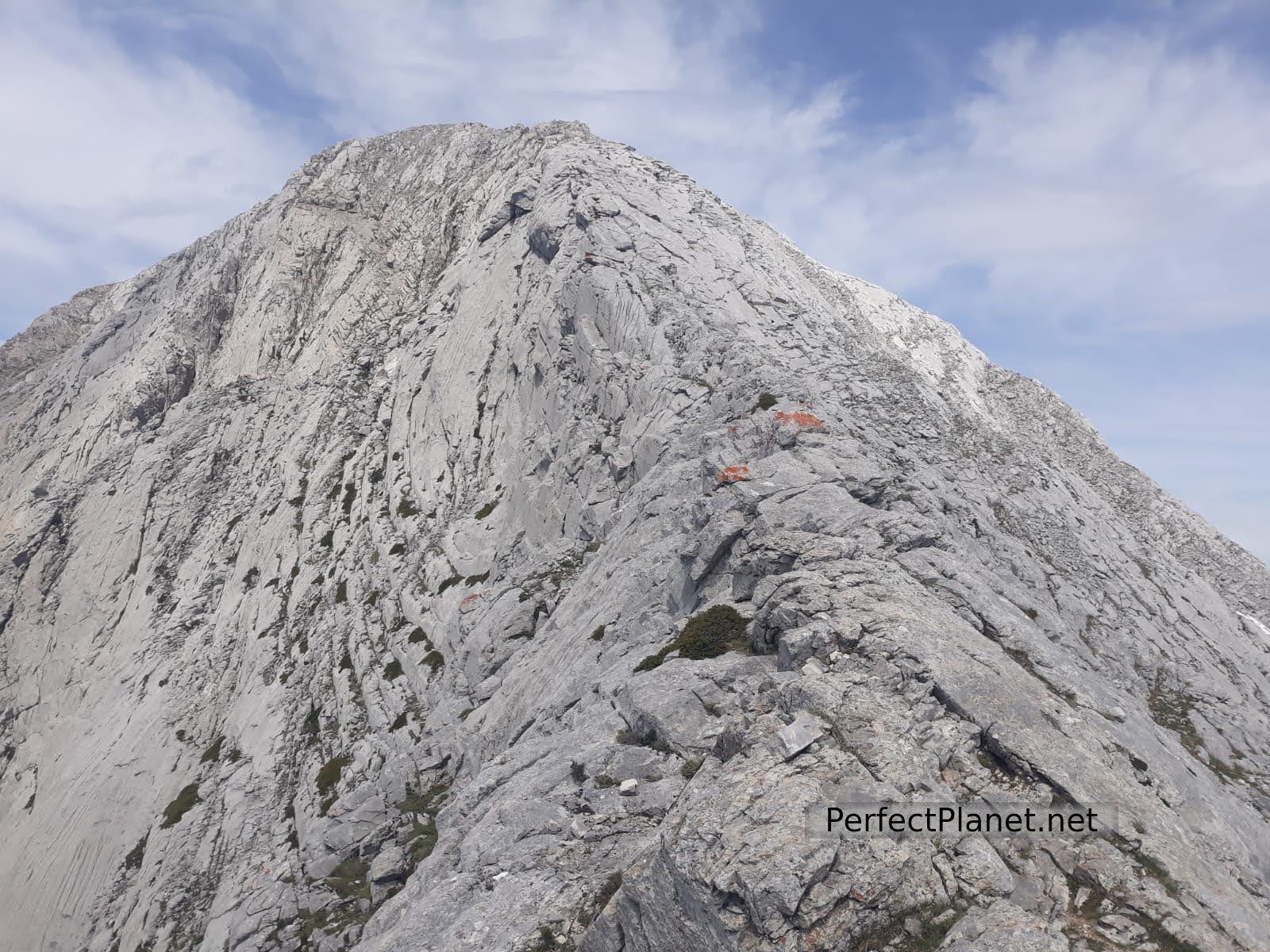
This spectacular limestone massif is hollow inside formed by galleries and caves. It is a demanding summit, so it is advisable to be in good physical condition for its ascent, and one of the most beautiful of all the Montaña Palentina.
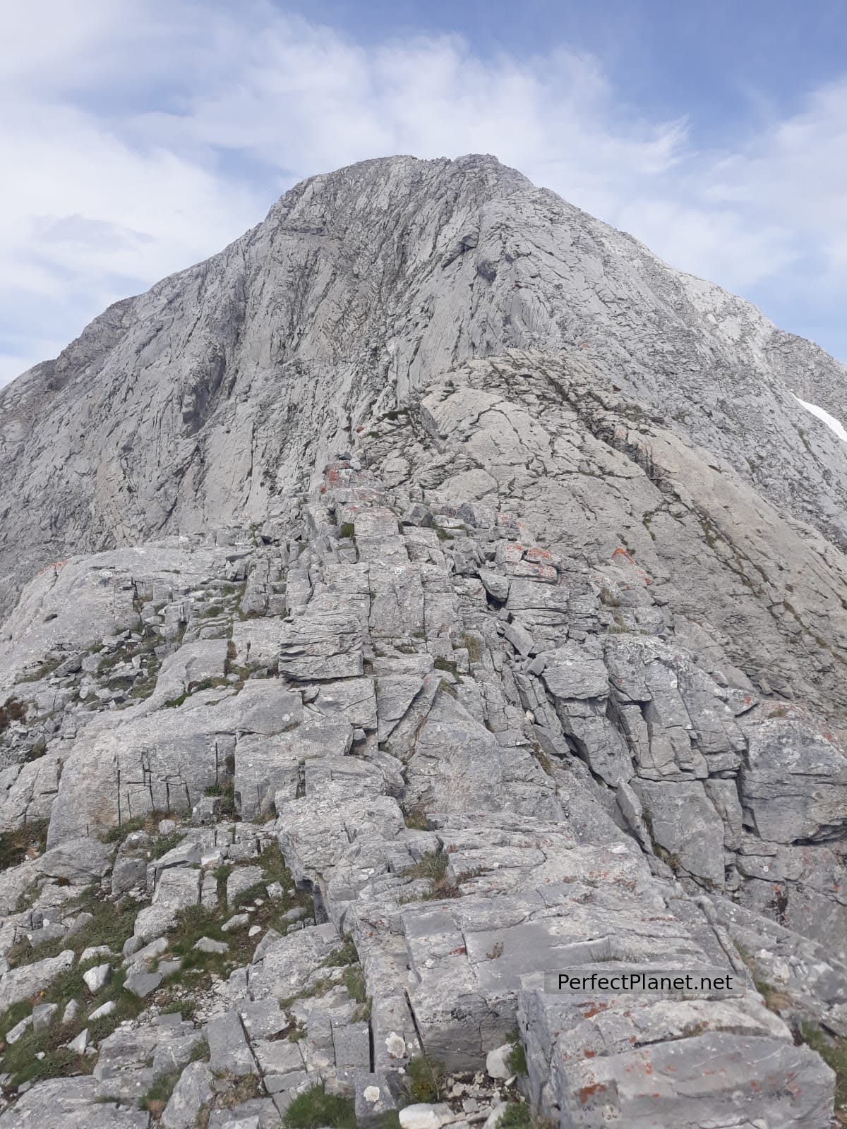
East ridge
How to get there
To start our route we leave the car in the Pinollano parking located on the P217 road between the shelter of Puente Agudín and the town of Cardaño de Arriba in Palencia.

Espigüete
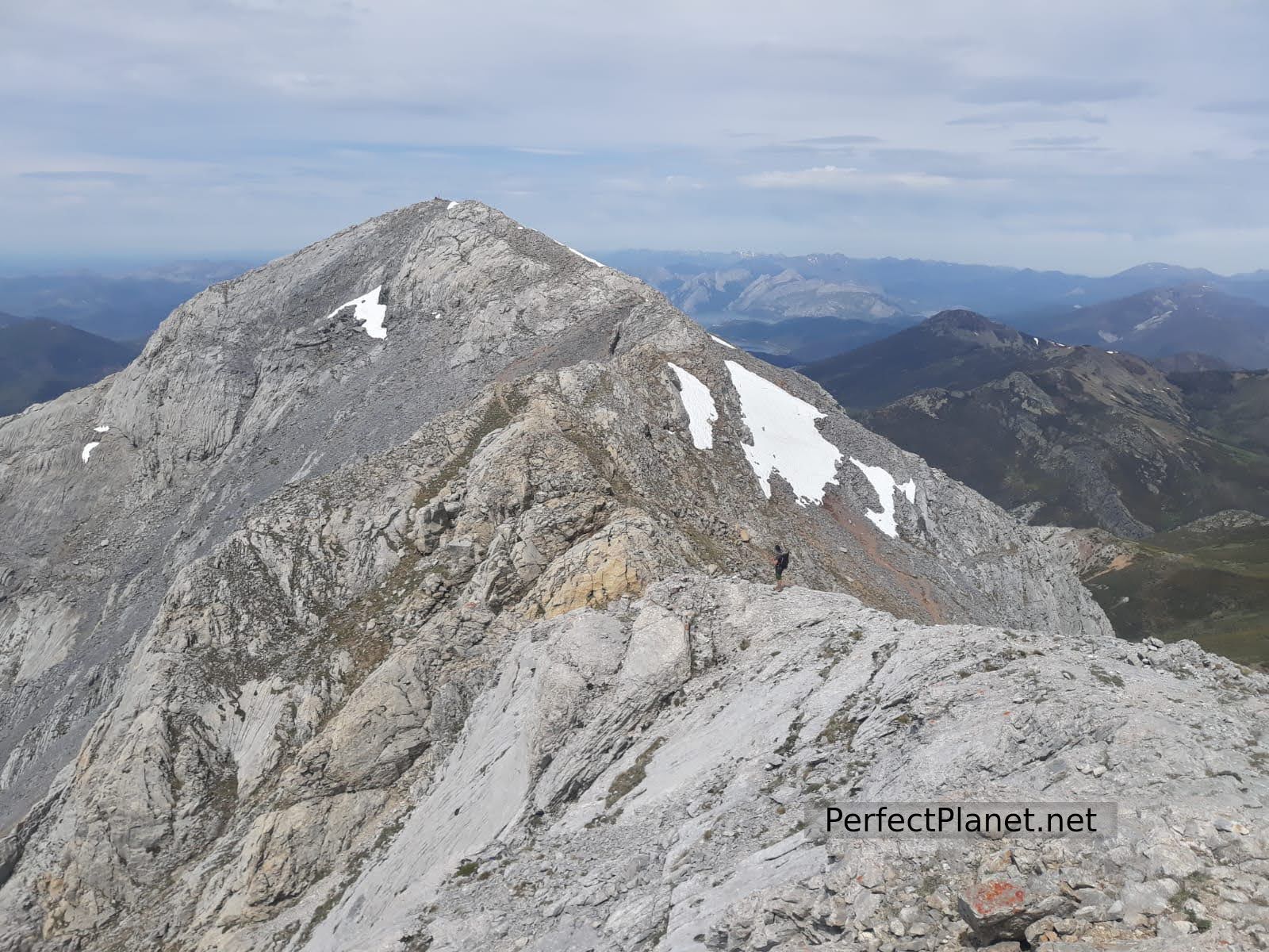
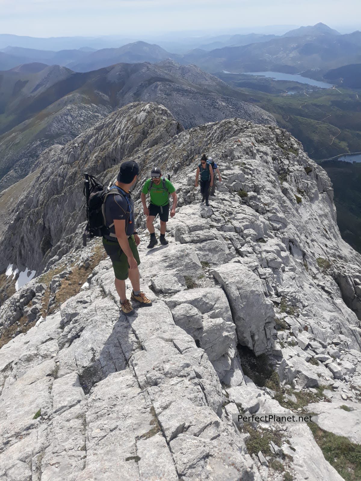
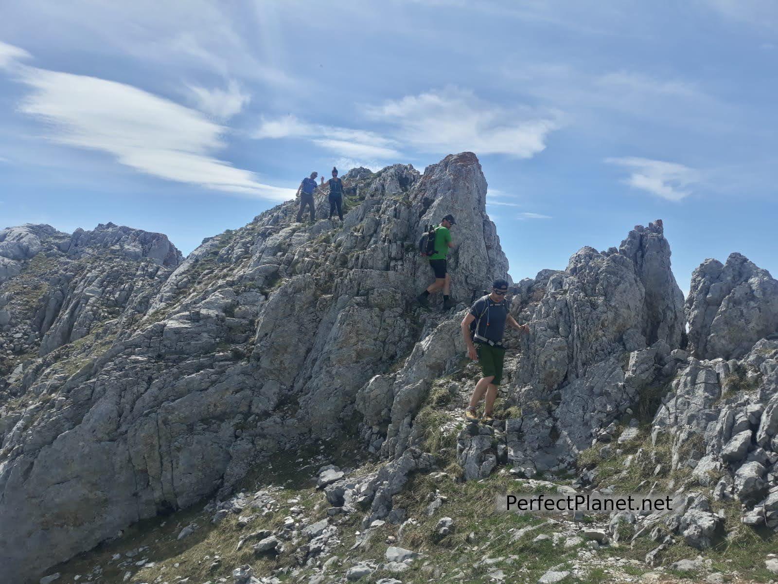
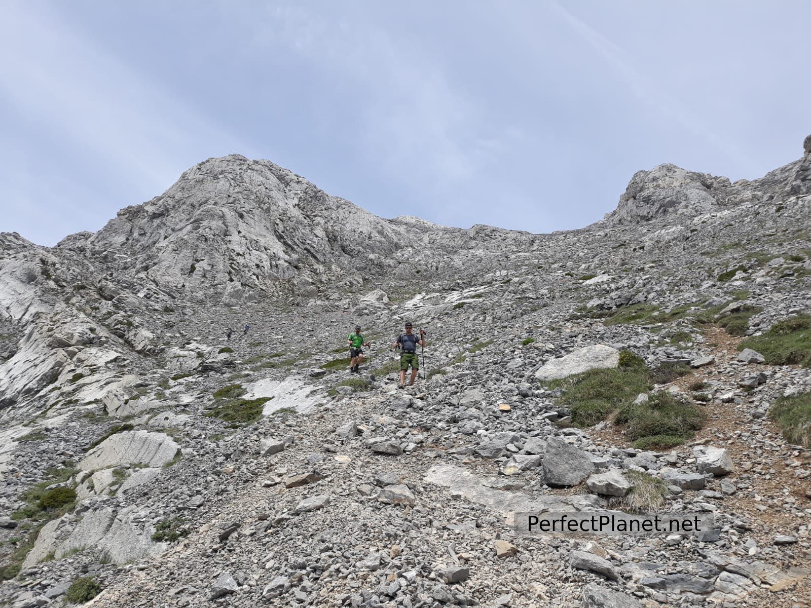
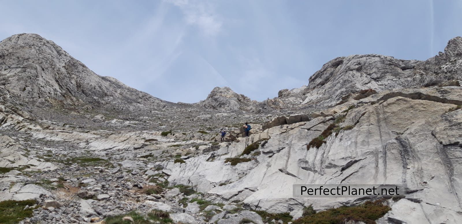
From here we take the milestones that will lead us along the ridge on the east side to the highest point of this emblematic peak. Once past the Cerrunal pass we see to our right the Mazobre Refuge located on the northern slope of Espigüete. The only difficulty that we observe is one of the steps in which we have to make a small dexterity and in which we have to be especially careful because the rock is quite polished and slips a little.
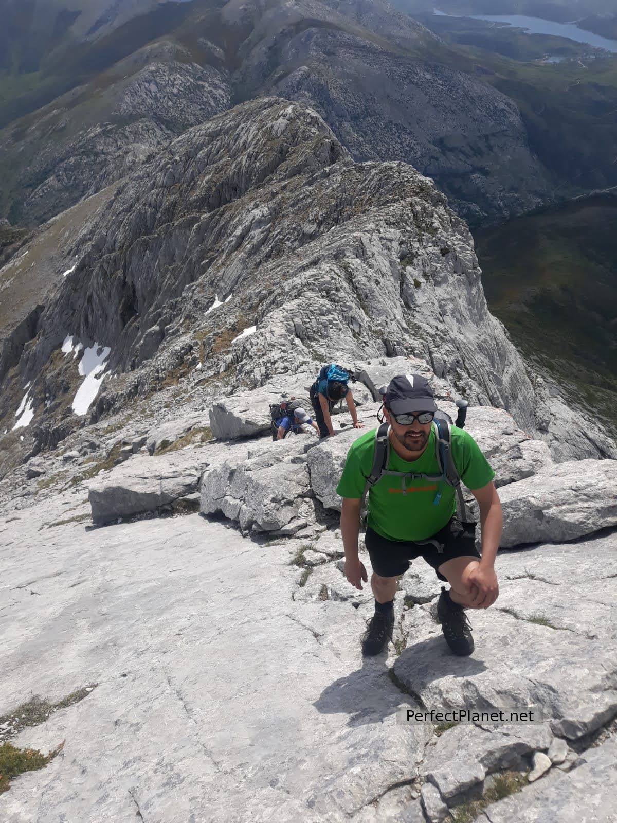
Arista
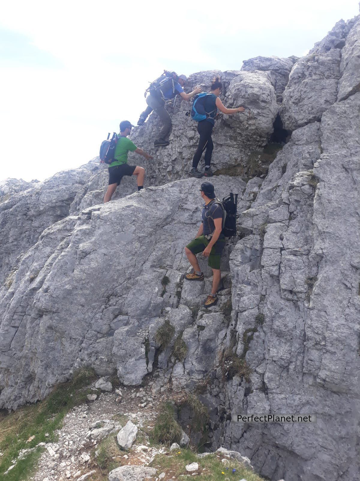
Destrepe
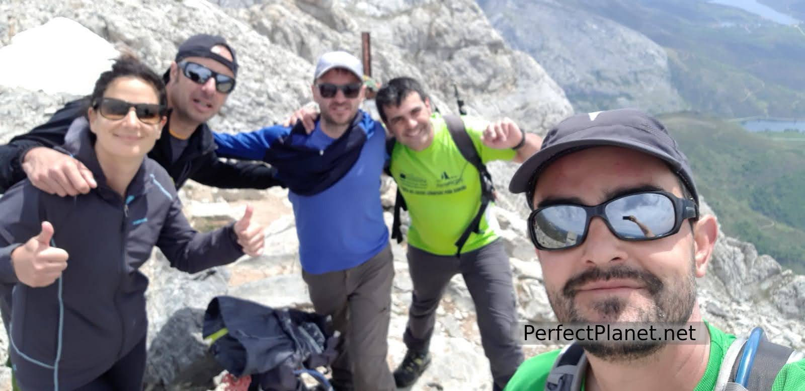
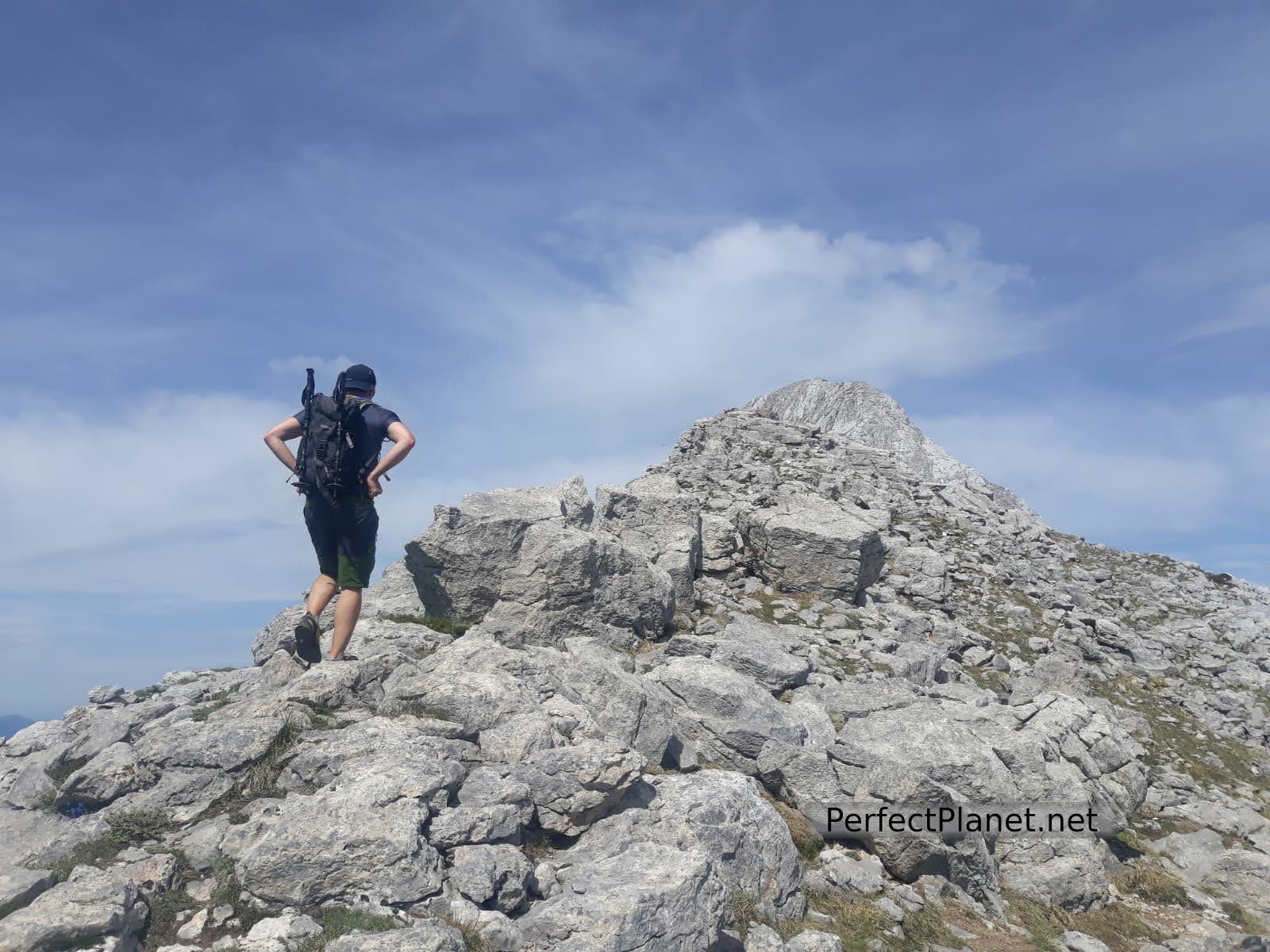
Once we have passed the pass, we first reach the east summit at 2,443 meters.

Espigüete
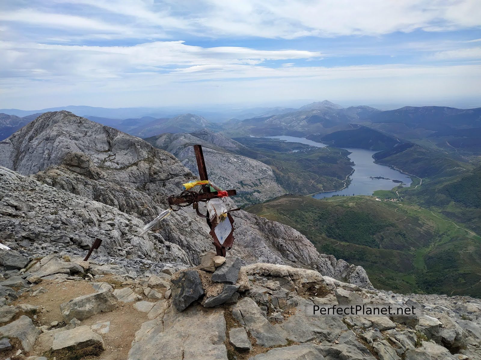
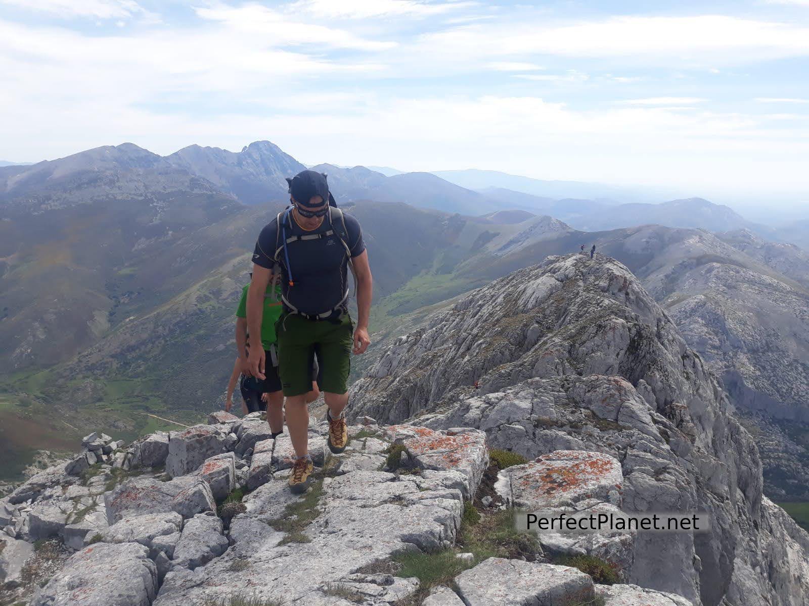
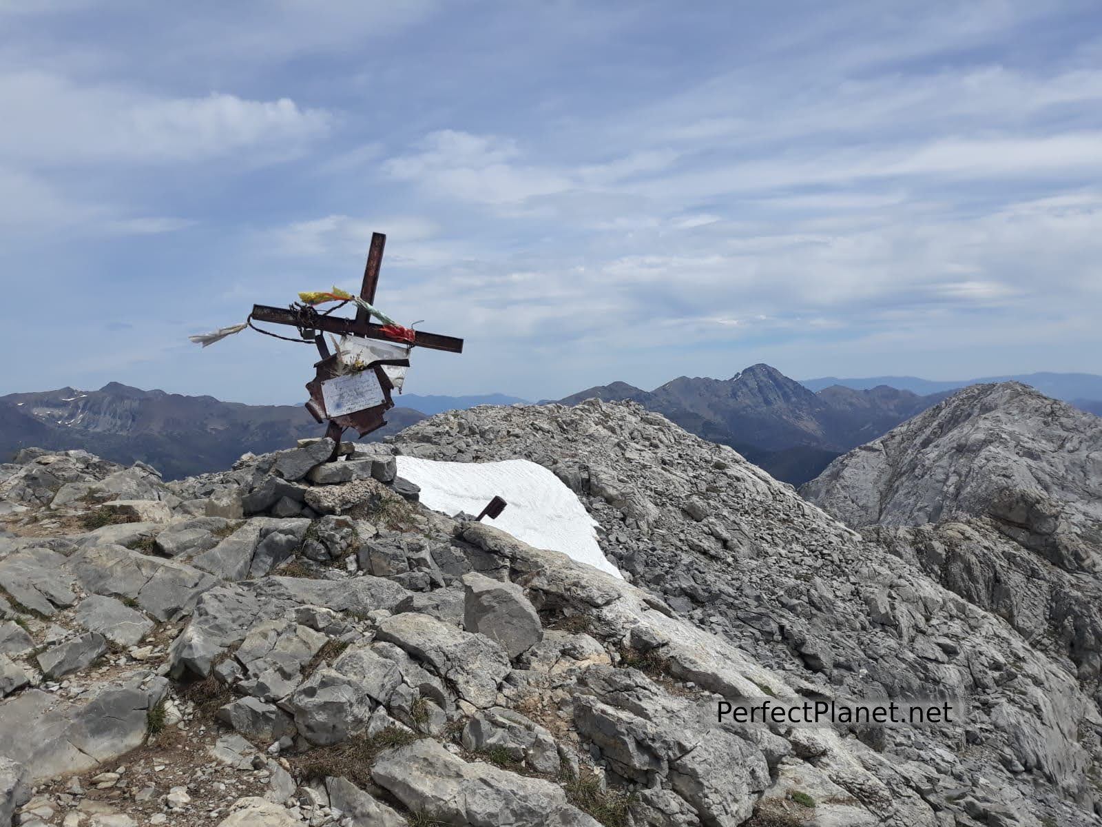
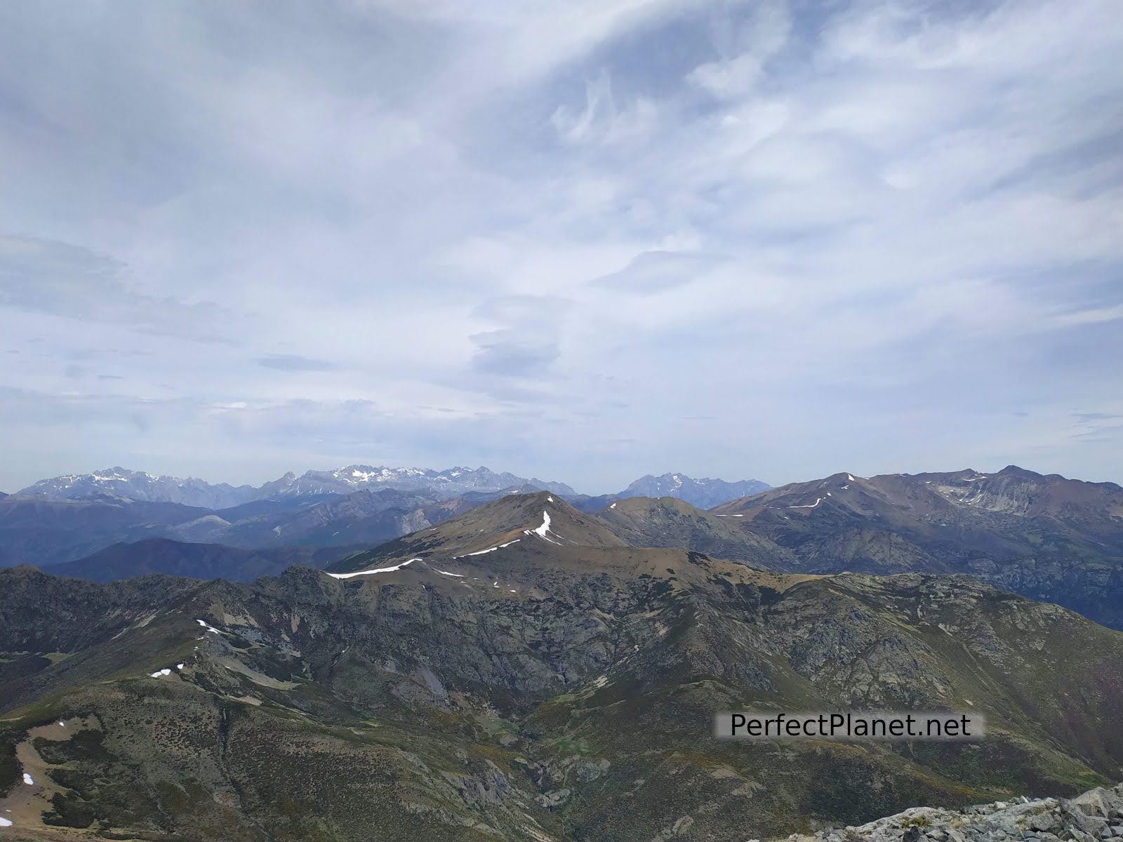
We soon reached the summit at 2,450 meters where we enjoy privileged views of the entire Cantabrian coast to the north and the Camporredondo reservoir to the south.
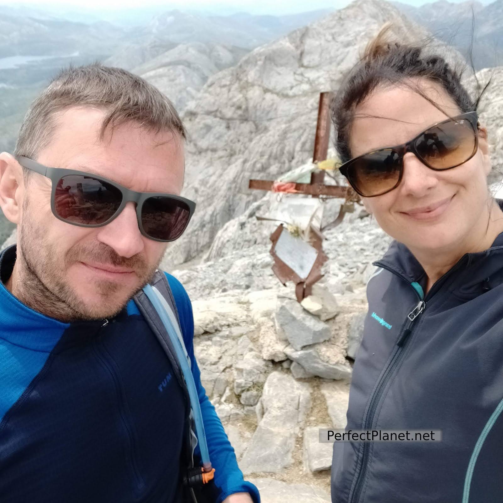
Summit
We descend the southern slope a little longer than the northern slope of Mazobre. At the beginning the south face has a quite demanding rocky slope, we zigzag along the path that gets lost and joins other traces. An hour and a half later we reach a wider track halfway up the slope that runs along the south side until it reaches an area of broom that ends in a watercourse. We will pass another later until we reach the road near the parking lot.
Summit
If you prefer to descend by the north face you will find a quite demanding slope during the first two kilometers, a long rocky path until you reach the path of the Mazobre waterfall.
Finally, we take the car to Puente Agudín where we will enjoy a spectacular lunch. Puente Agudín is an old shelter with bar and restaurant service located in a privileged environment that serves as a place of tourist information of the area. It offers excellent lunches to enjoy after a long hike.
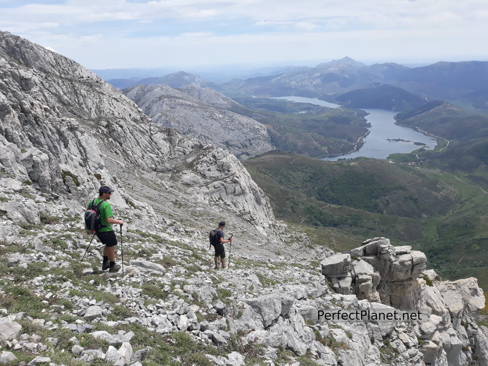
South slope
South slope
Next to Puente Agudín there is an area with tables and shade next to the Carrión River, ideal for taking a break. From here there are routes such as the ascent to Peña del Tejo or the path parallel to the river that leads to the Palencia town of Cardaño de Arriba.
Espigüete
Map
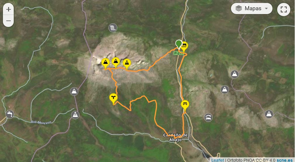
Map
Route: circular
Distance: 14 kilometres
Elevation gain: 1,200 metres
Track on Wikiloc
Difficulty: high, no technical difficulty
Markings: good
Whoever makes full or partial use of this track and its additional information, assumes full responsibility for the risks inherent in the practice of the activity, this information is for guidance purposes only.
You may be interested in
Mazobre waterfall
Murcia peak
Peña Tejo
- Log in to post comments