The Curruquilla peak (2,416 metres) and Hoya Contina (2,395 metres) are two little-known peaks in the Curavacas range.
Curruquilla with views to Curavacas
Its peaks offer spectacular views of the main peaks of the Palentina Mountain and the Natural Park of Fuentes Carrionas and Fuente del Cobre.
There are several options for ascending to this impressive viewpoint, but we decided to follow a circular route starting from Cardaño de Arriba, which will take us to the Ves waterfall, Alto del Ves, Ves well, Curruquilla, Hoya Contina and down towards Canchas de Ojeda until we return to Cardaño de Arriba.
Ves well
How to get there
To start our route we leave the car in the Palencia town of Cardaño de Arriba following the P 217 road. There is a small car park at the entrance to the village and there is another car park across the river on the right hand side.
Alto Ves
We start the route in Cardaño de Arriba following the signs to Pozo Lomas from the information panel next to the car park.
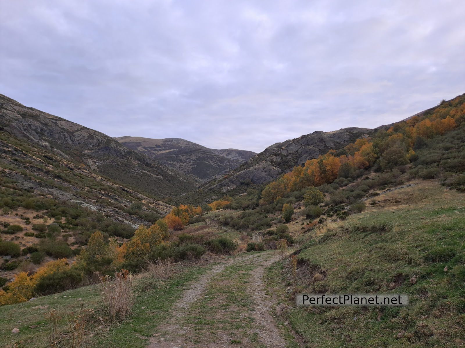
Lomas path
Walk along a track that runs along the right bank of the Lomas stream. Following this path we reach the Valcabe stream, where we find a bridge and a small waterfall. Crossing the bridge the track divides in two, to the left is the route to Murcia Peak. We will continue straight on, following the Pozo Lomas path (PR10).
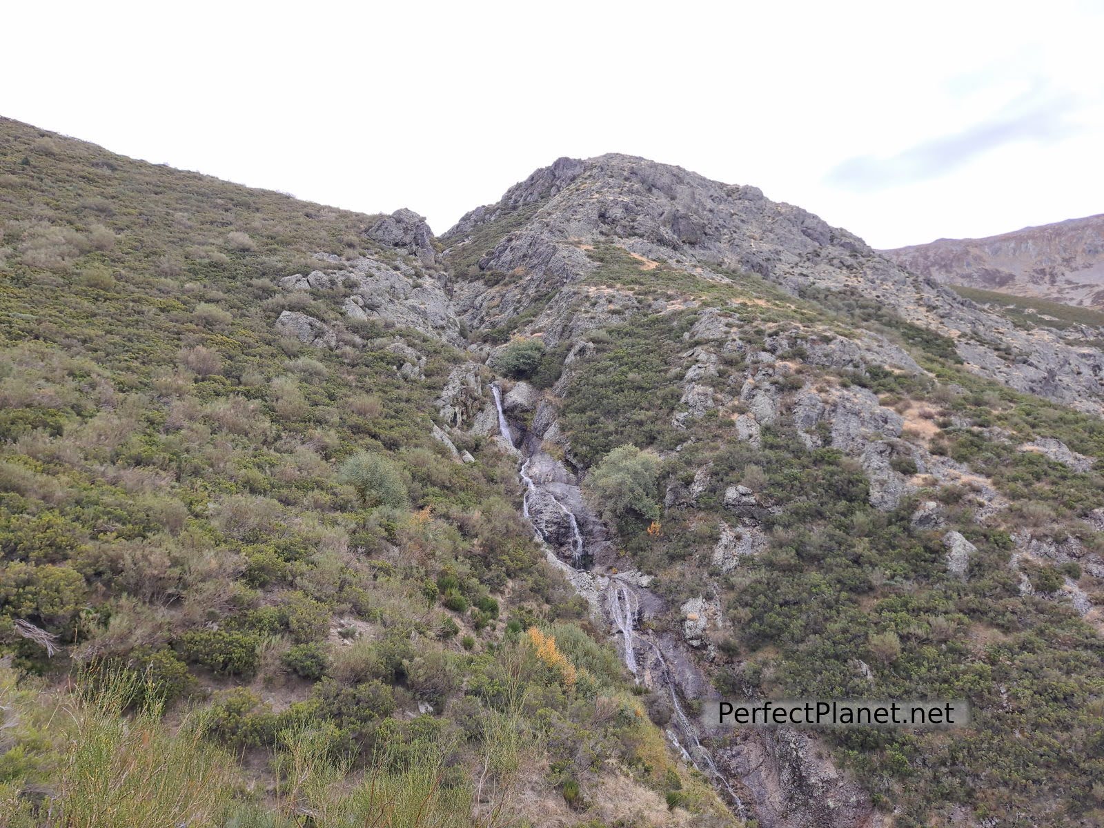
Waterfall
After approximately 1 km we reach the fork that indicates the Ves well. Cross the wooden bridge and start climbing up the Hornaz valley next to the waterfall along a narrow path surrounded by broom trees.
Views
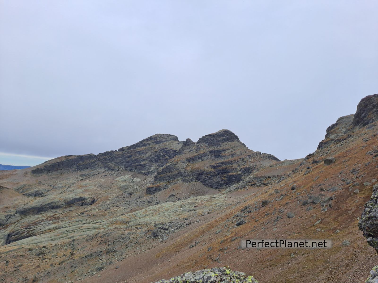
We continue ascending to the Alto del Ves.
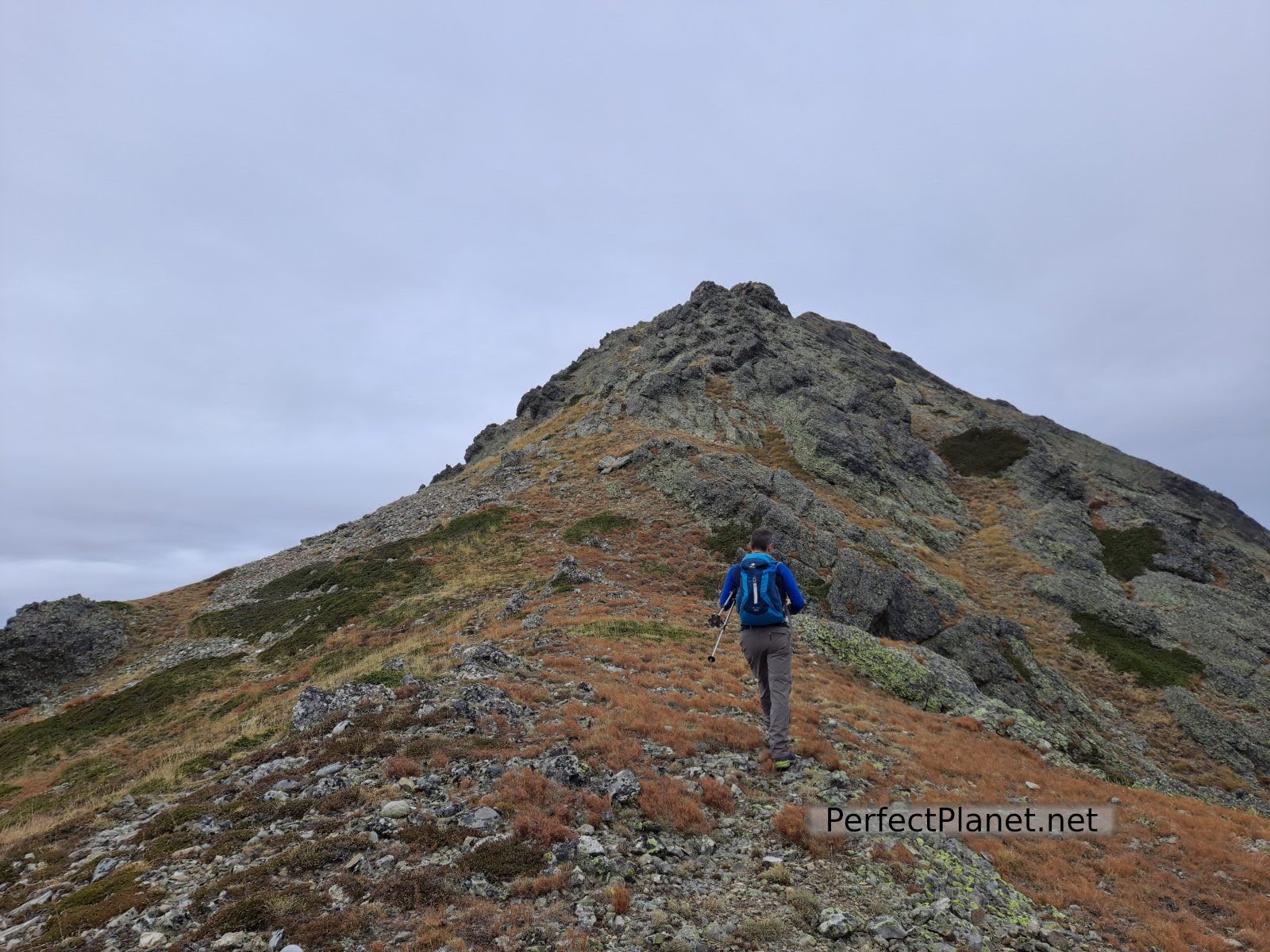
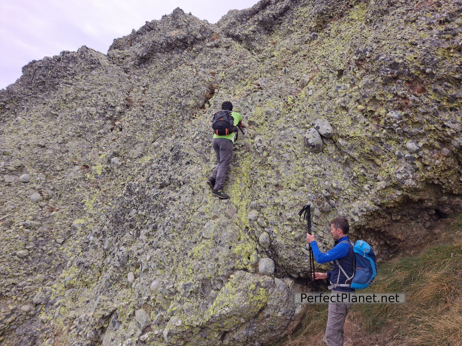
Climbing Curruquilla
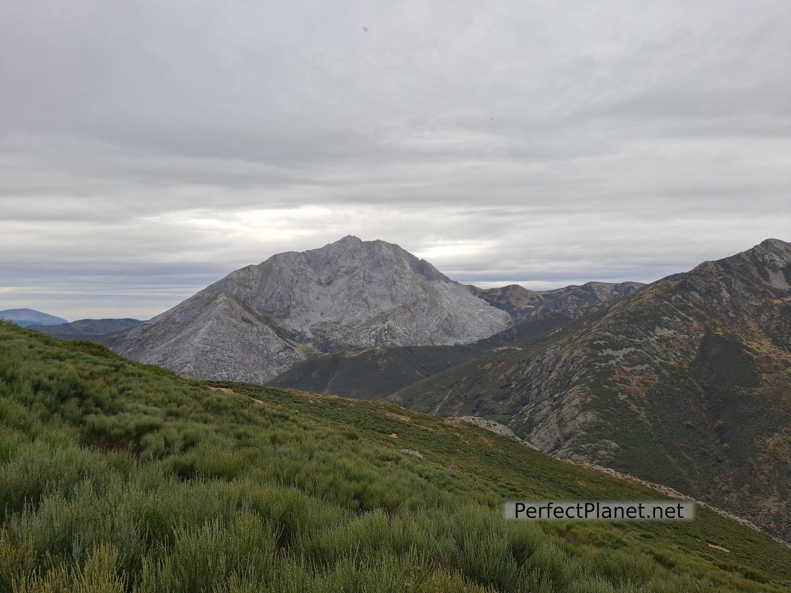
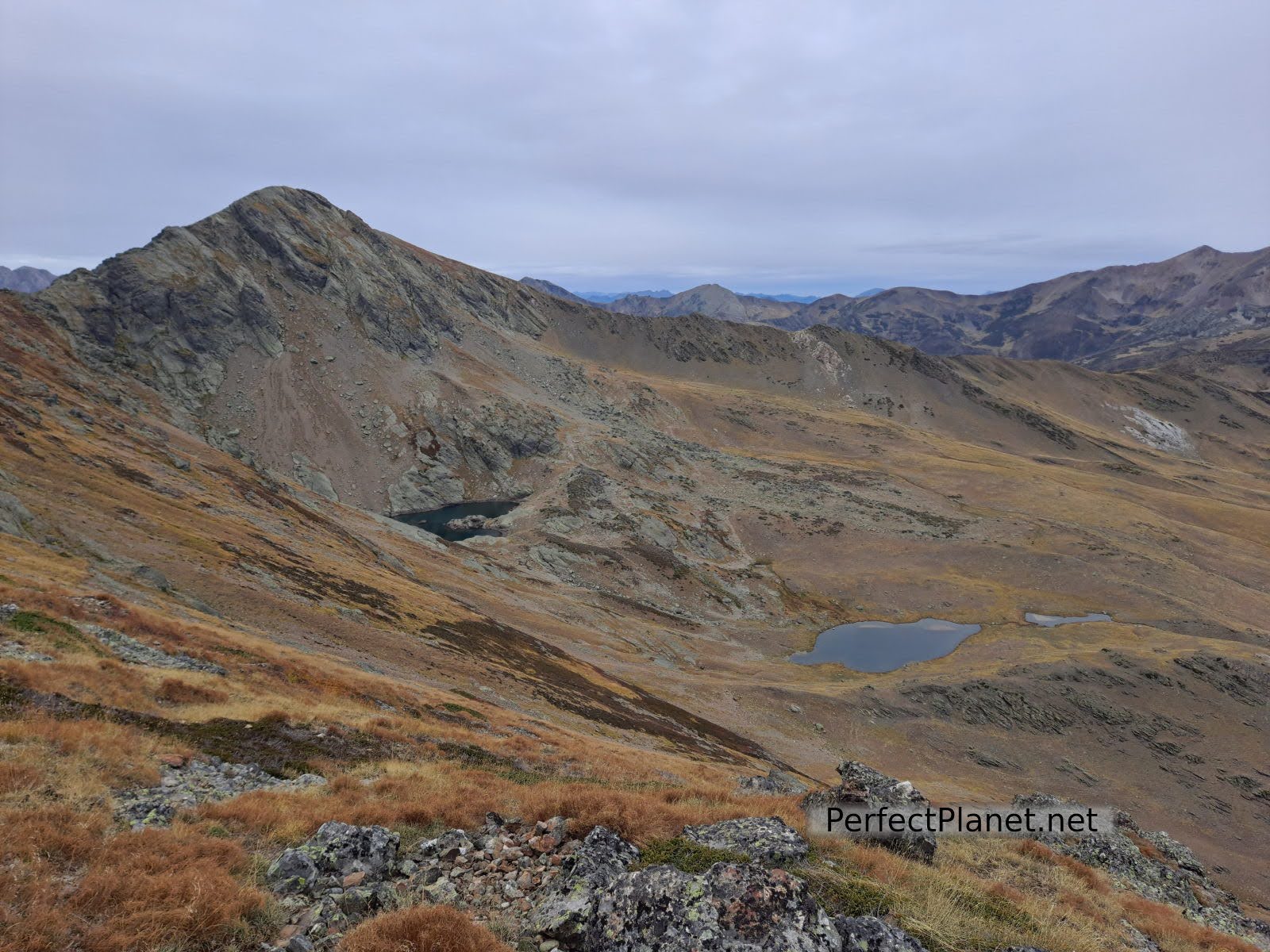
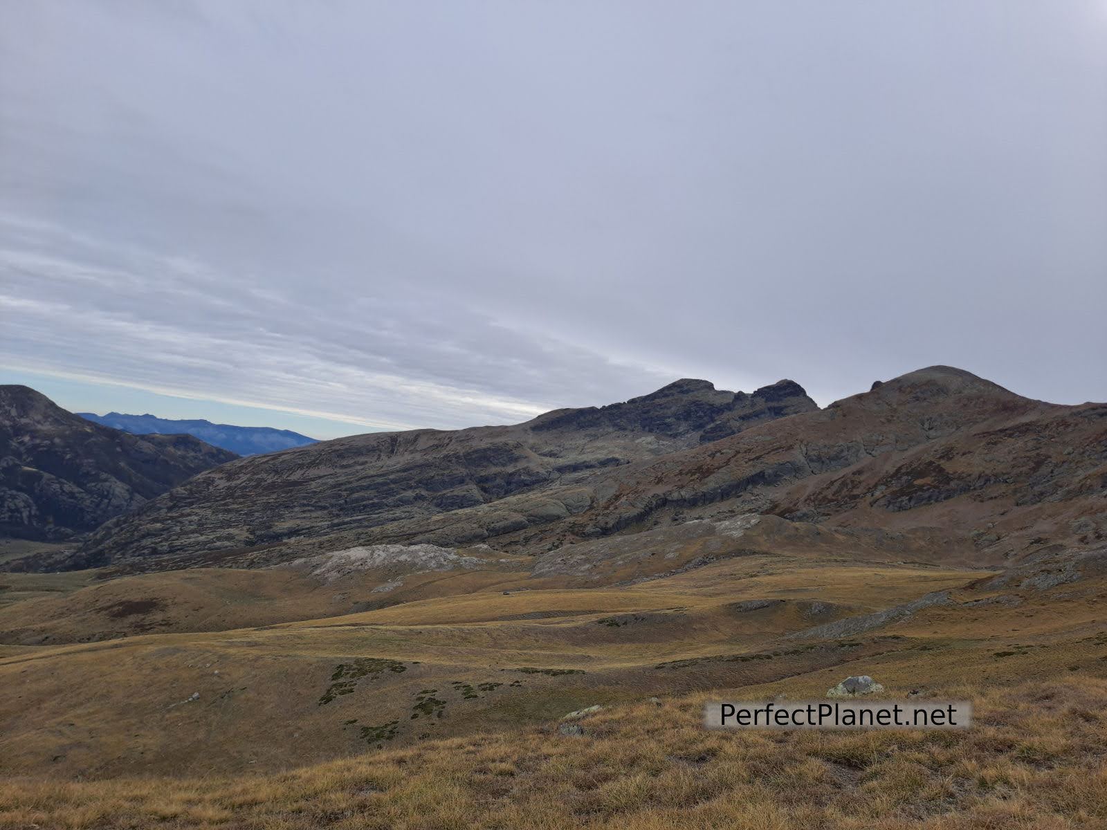
From here the other side of the Palentina Mountain opens up before our eyes, with the valley of Pineda, the Lezna peak, the majestic Curavacas to the right and next to it our objectives Curruquilla and Hoya Contina. After enjoying the views, we resume our walk to descend into the valley towards the Ves well.
As it is a less travelled area, we can enjoy the solitude of several chamois passing by.

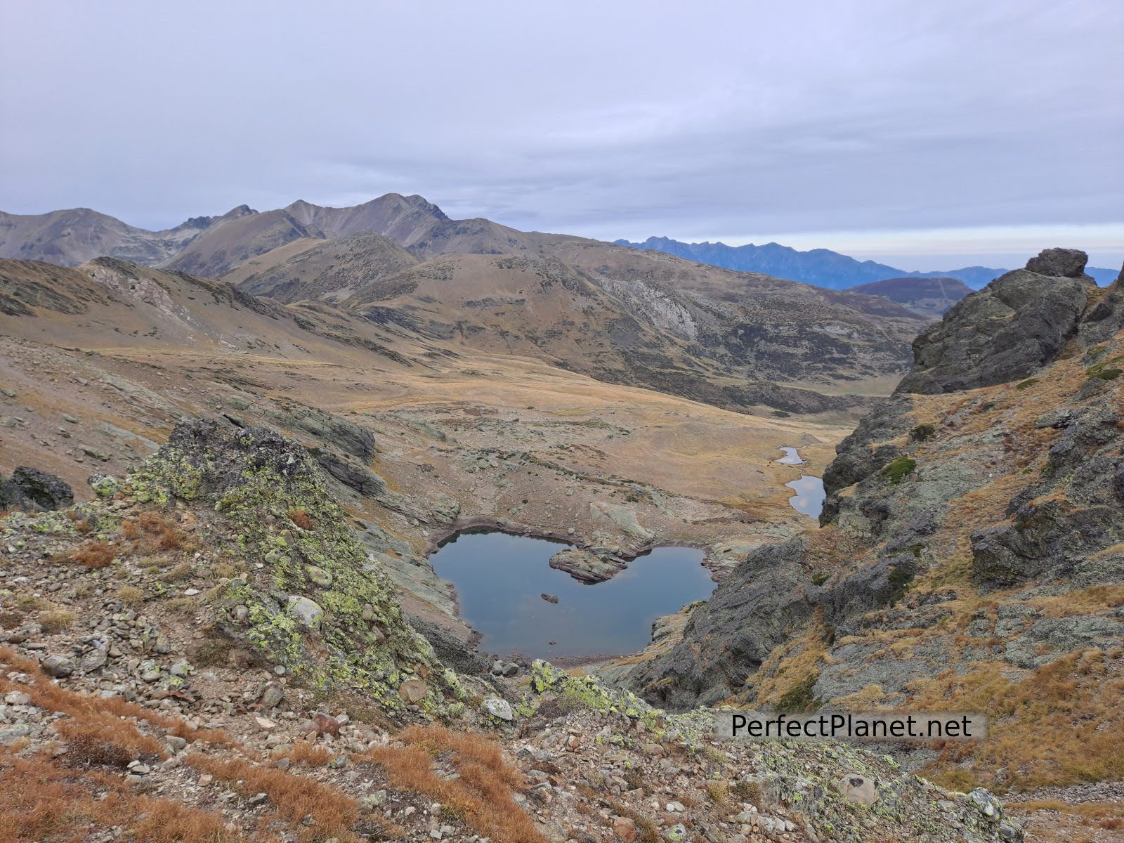
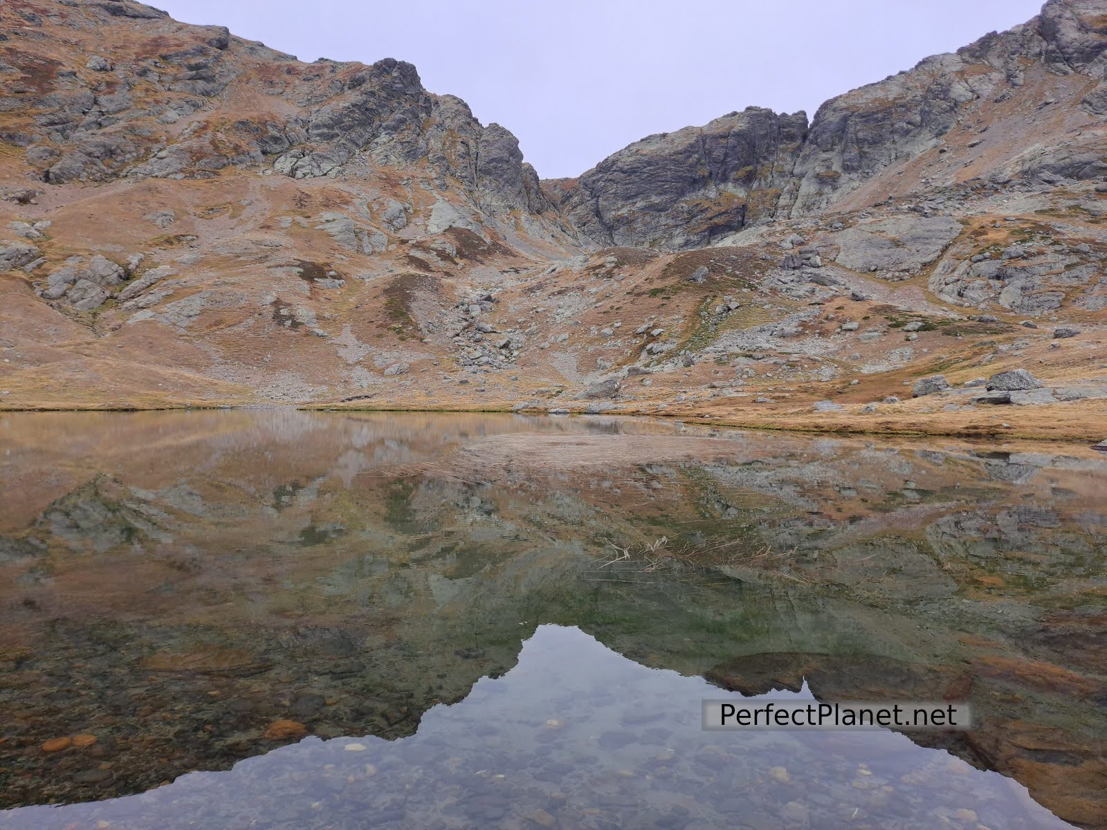
Ves well
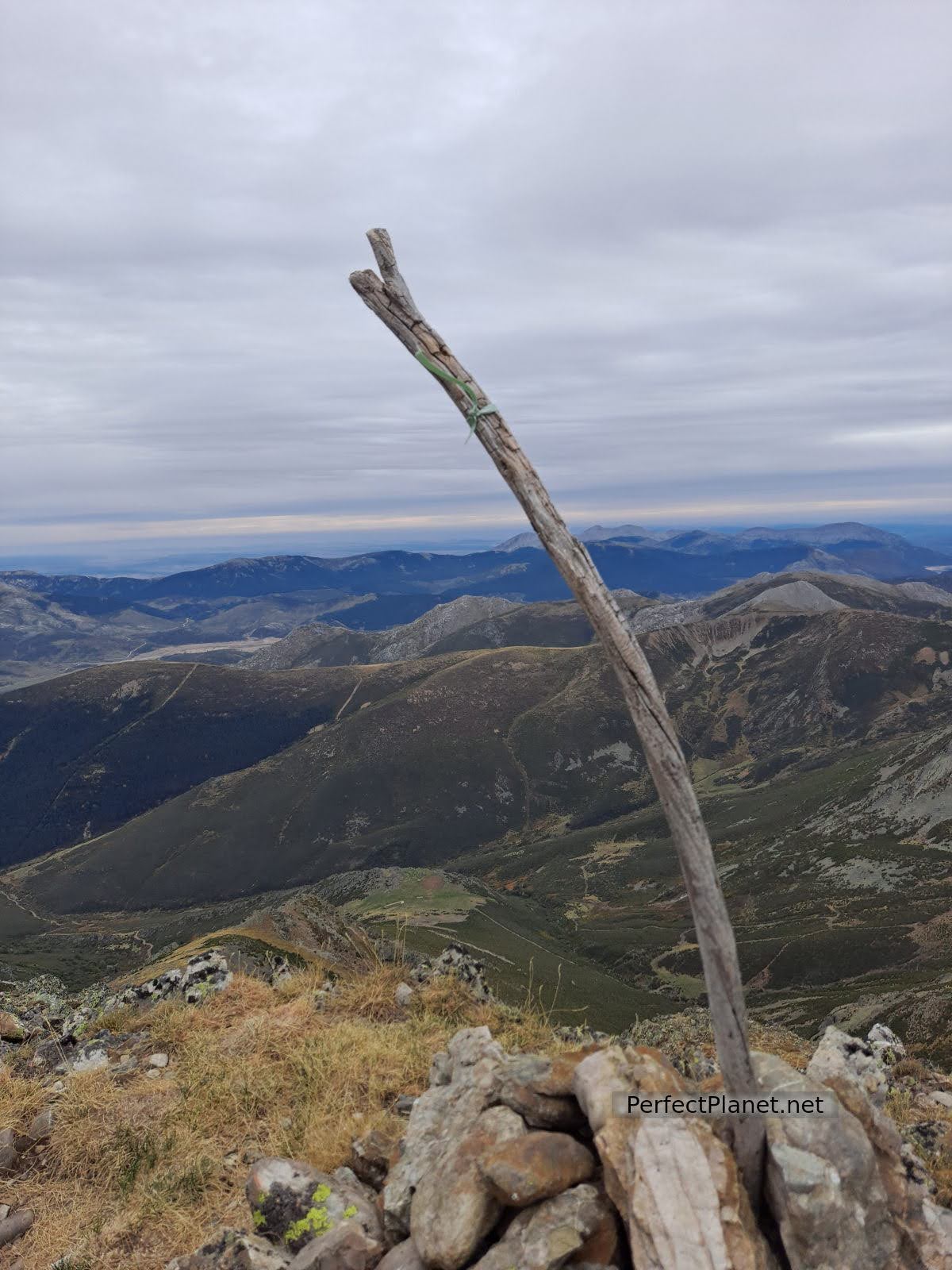
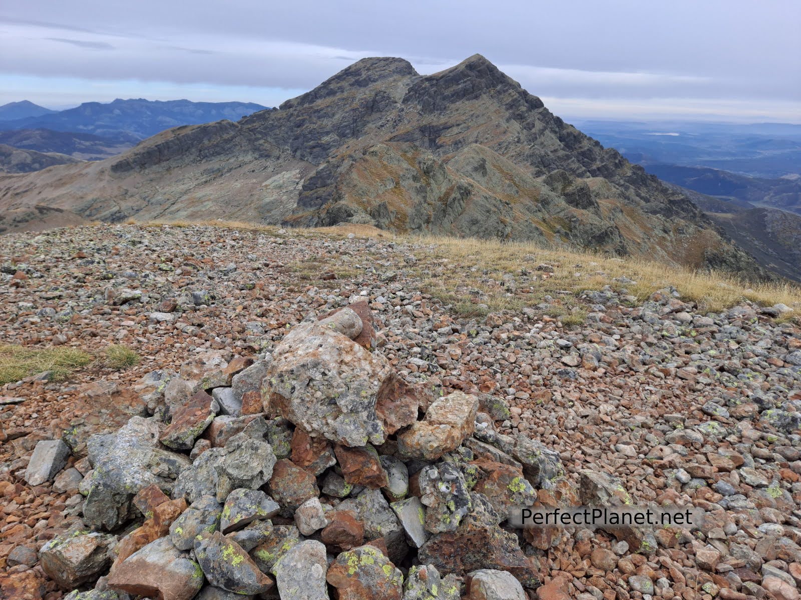
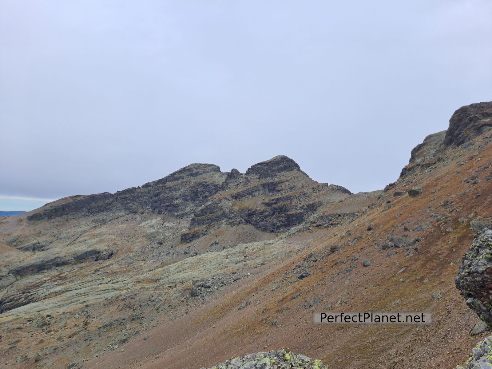
From the Ves well, a demanding ascent takes us directly to the summit of Curruquilla. The summit offers impressive views.
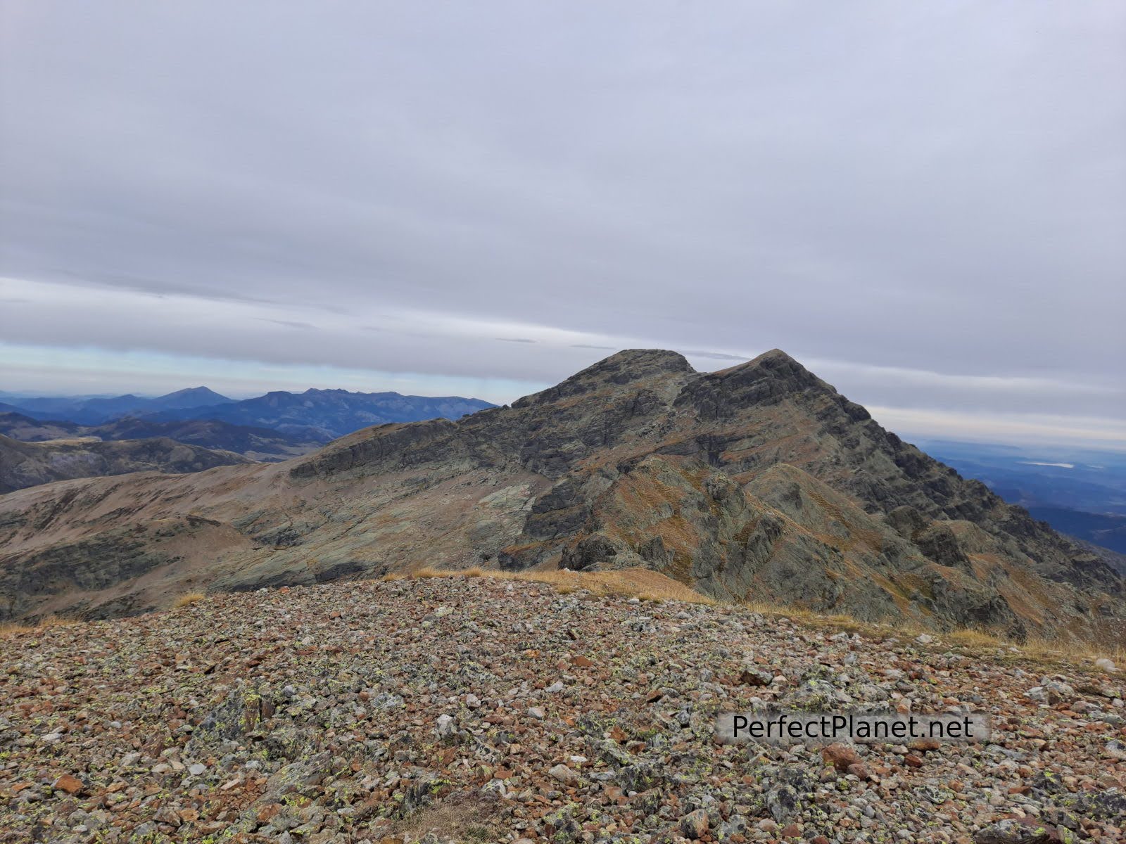
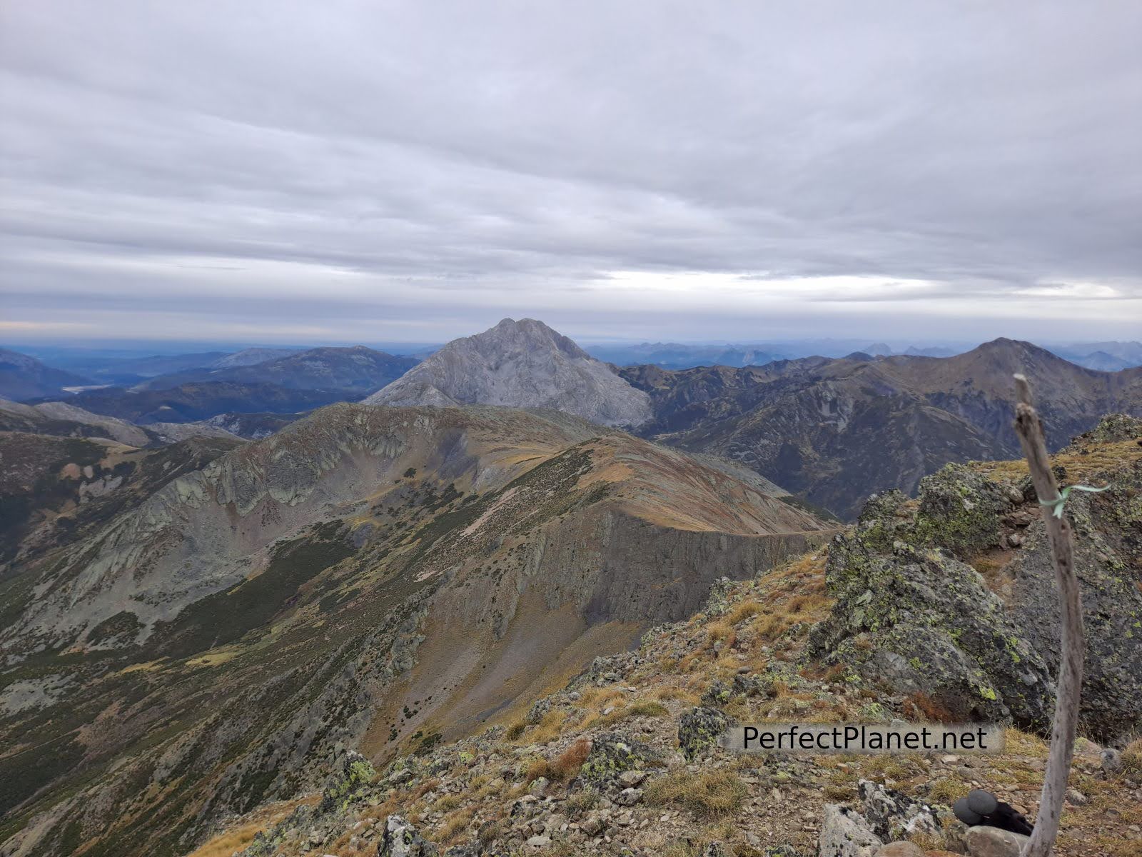
Curavacas from Curruquilla summit
Hoya Contina from Curruquilla
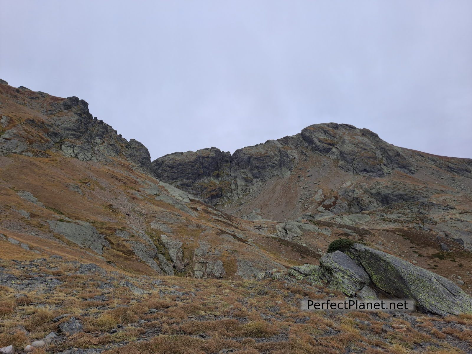
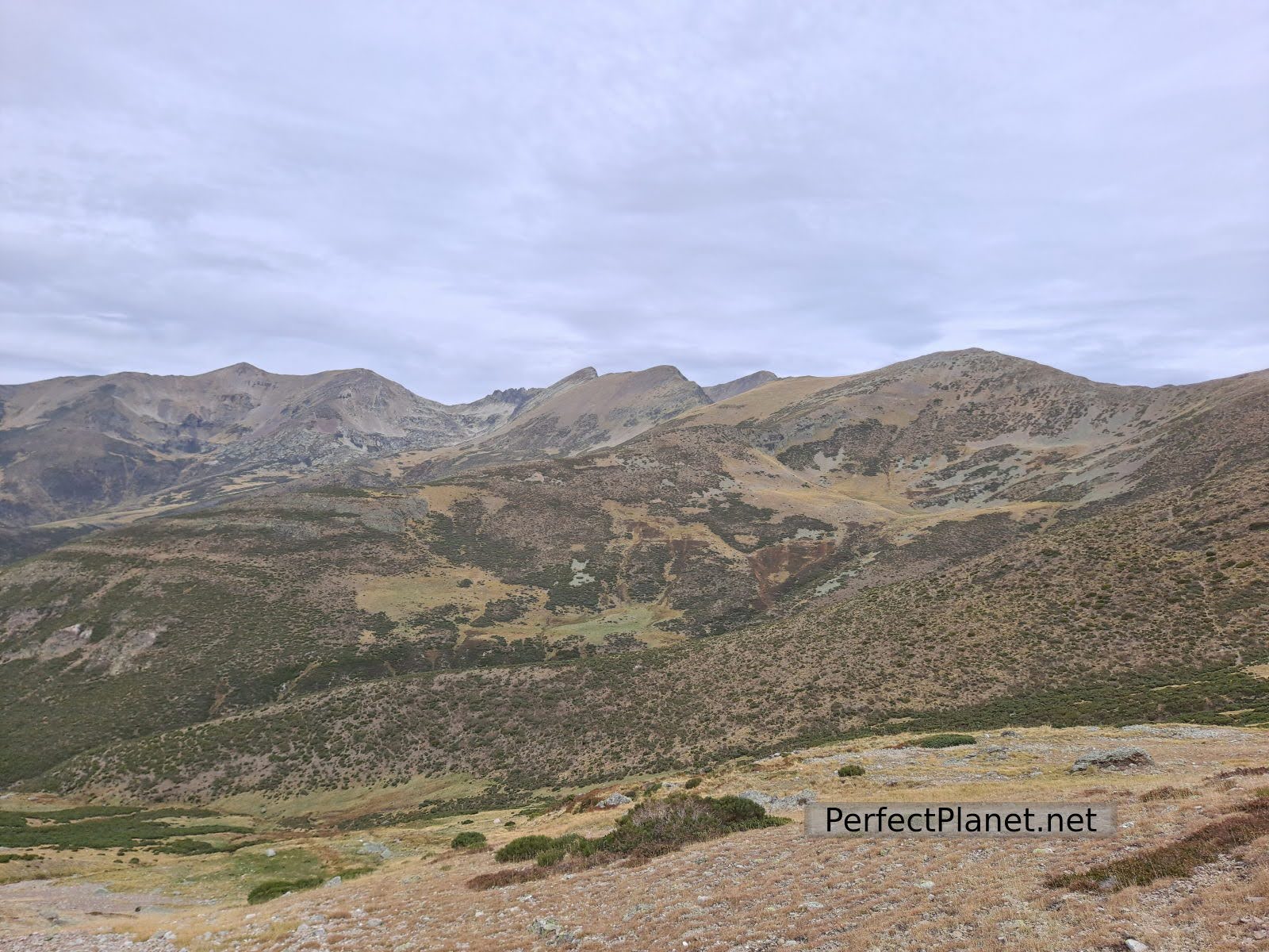
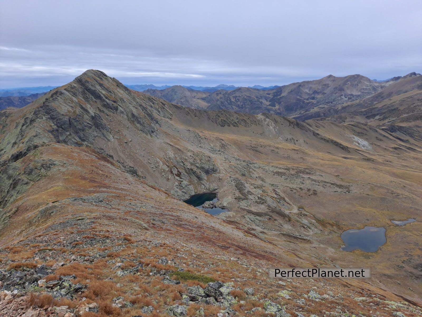
To our left is Curavacas and to our right Hoya Contina, towards which we continue. We descend a few metres and the most complicated part of the whole route begins. We will have to reach the top of Hoya Contina several times. Once again the views leave us speechless.
Hoya Contina
Hoya Contina
Hoya Contina

Hoya Contina
We descend again towards Canchas de Ojeda following the ridge towards Vallejo peak. From here a slightly lost path full of brooms leads us to a shepherd's bivouac very close to Cardaño de Arriba.
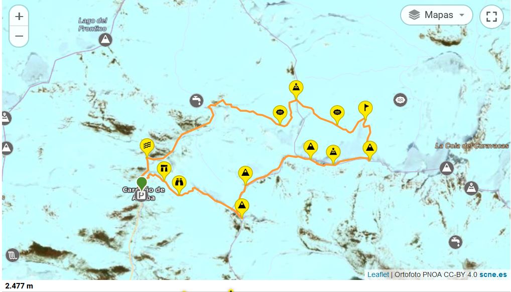
Map
Route: circular
Distance: 18 kilometres
Elevation gain: 1,500 metres
Track on Wikiloc
Difficulty: medium
Tips: if you do this route in summer remember that there is no shade along the whole route so you should always be protected with sun cream and carry enough water. If you do the winter variant remember to bring full equipment, ice axe and crampons.
Whoever makes full or partial use of this track and its additional information, assumes full responsibility for the risks inherent in the practice of the activity, this information is for guidance purposes only.
You may be interested in
Mazobre waterfall
Murcia peak
Peña Tejo
- Log in to post comments