The Curavacas peak, at 2,524 metres high, is considered the highest peak in the Palentina Mountain.
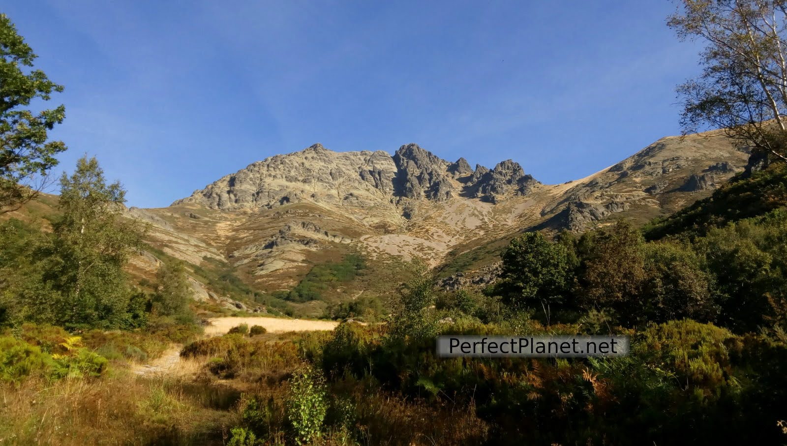
Curavacas
There is some controversy about which is the highest peak in this Natural Park, although the peak of Los Infiernos or Peña Prieta Sur is higher (2,537 metres), this one is located in the province of Cantabria, which makes Curavacas the highest peak in the Palentina Mountain.
Curavacas
There are different access routes to the Curavacas peak, on this occasion we decided to go up a route to the left along the Oblique Corridor that will take us to the west summit, to the Middle peak and to the summit to go down via the Callejo Grande and the pindia stone quarry.
The classic route is to go up and down via the Callejo Grande.

Curavacas
How to get to Vidrieros
Vidrieros is located on the P 216 on the road known as the road of the marshes.
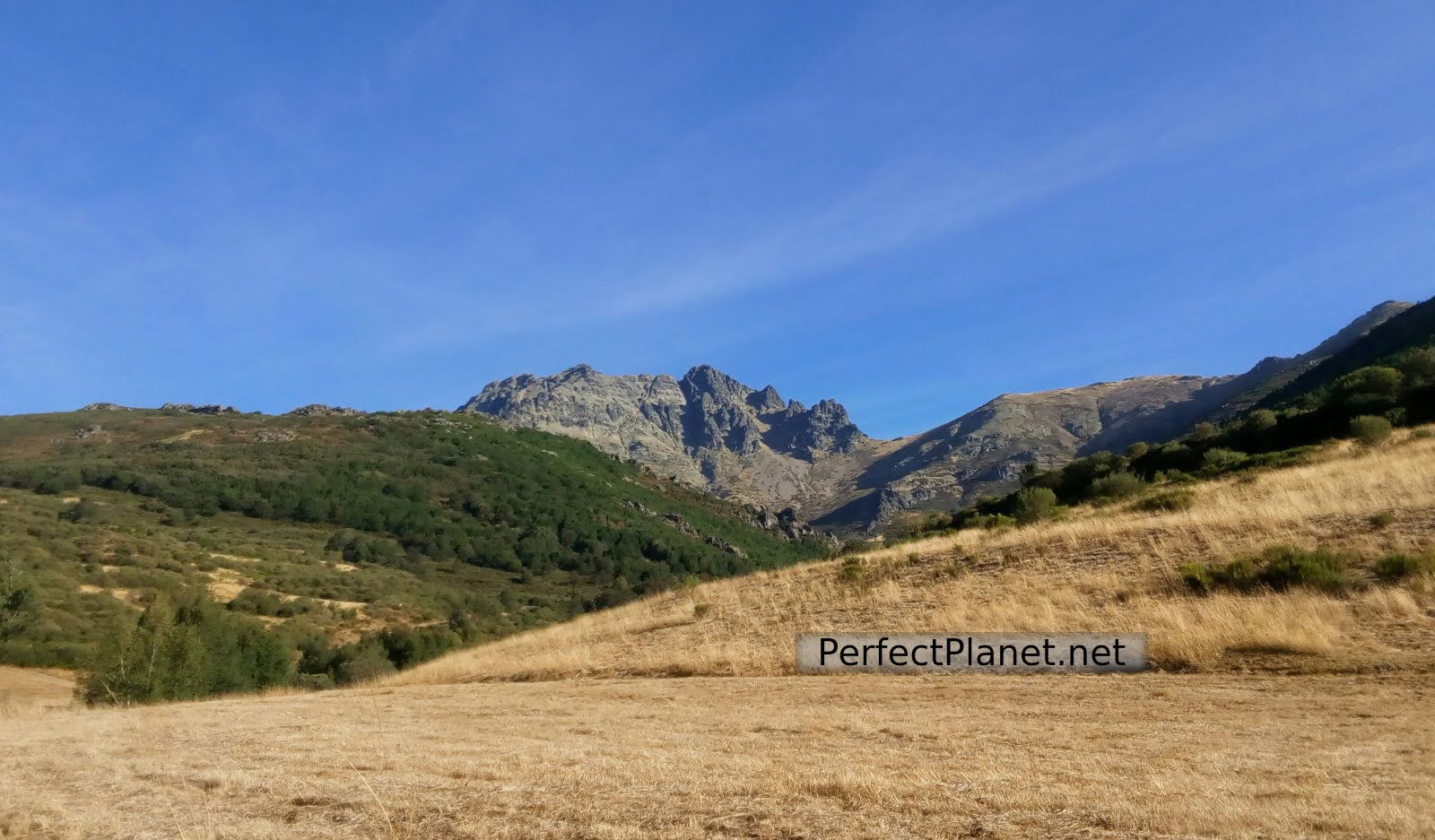
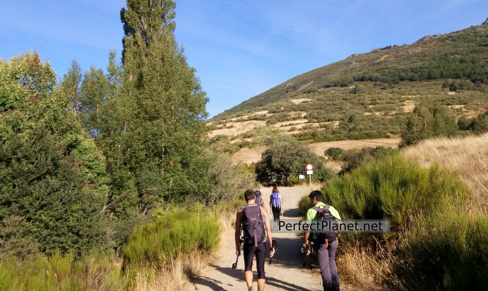
We start from the village of Vidrieros in Palencia. We start our circular route leaving the village behind us parallel to the Cabriles stream until we reach the rocky area where we start to gain height.
Stone quarry
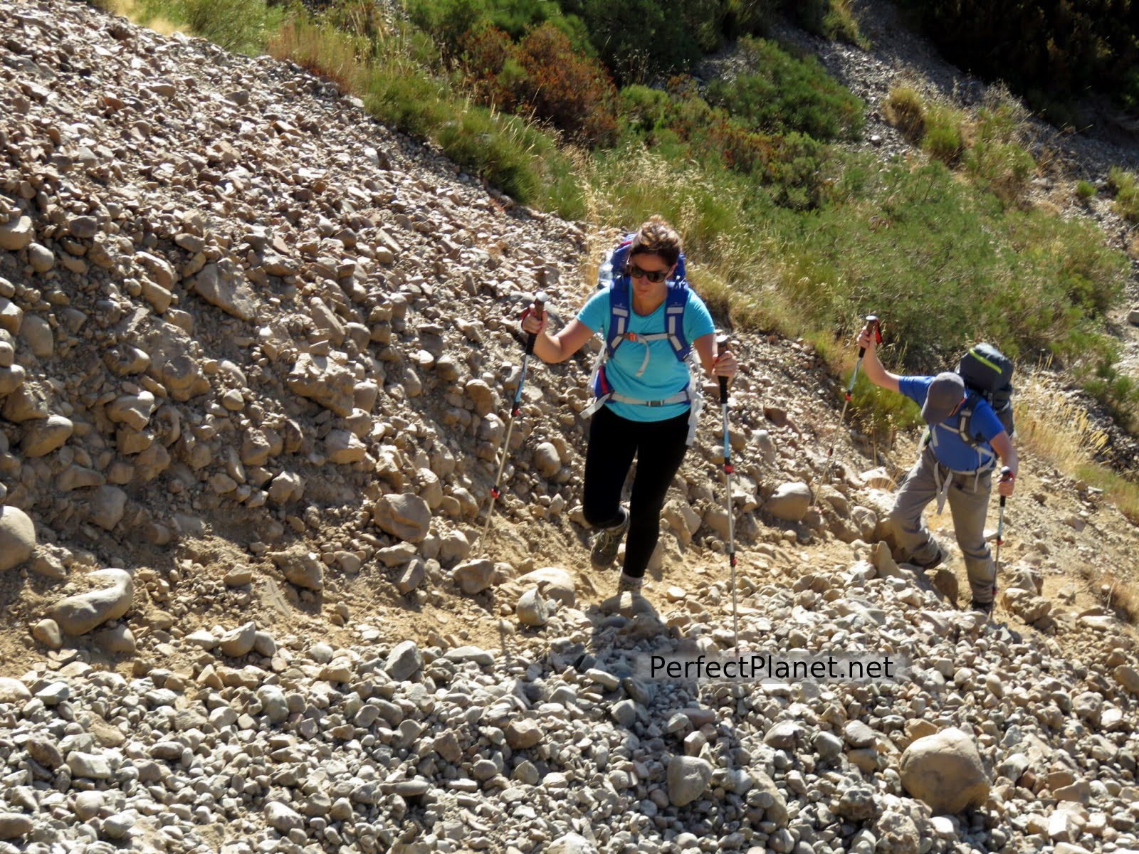
We reach the base of the South channel where we find a small altar in homage to two brothers who died on this mountain. It so happens that the brothers' father is there at this point and we chat with him for a while.
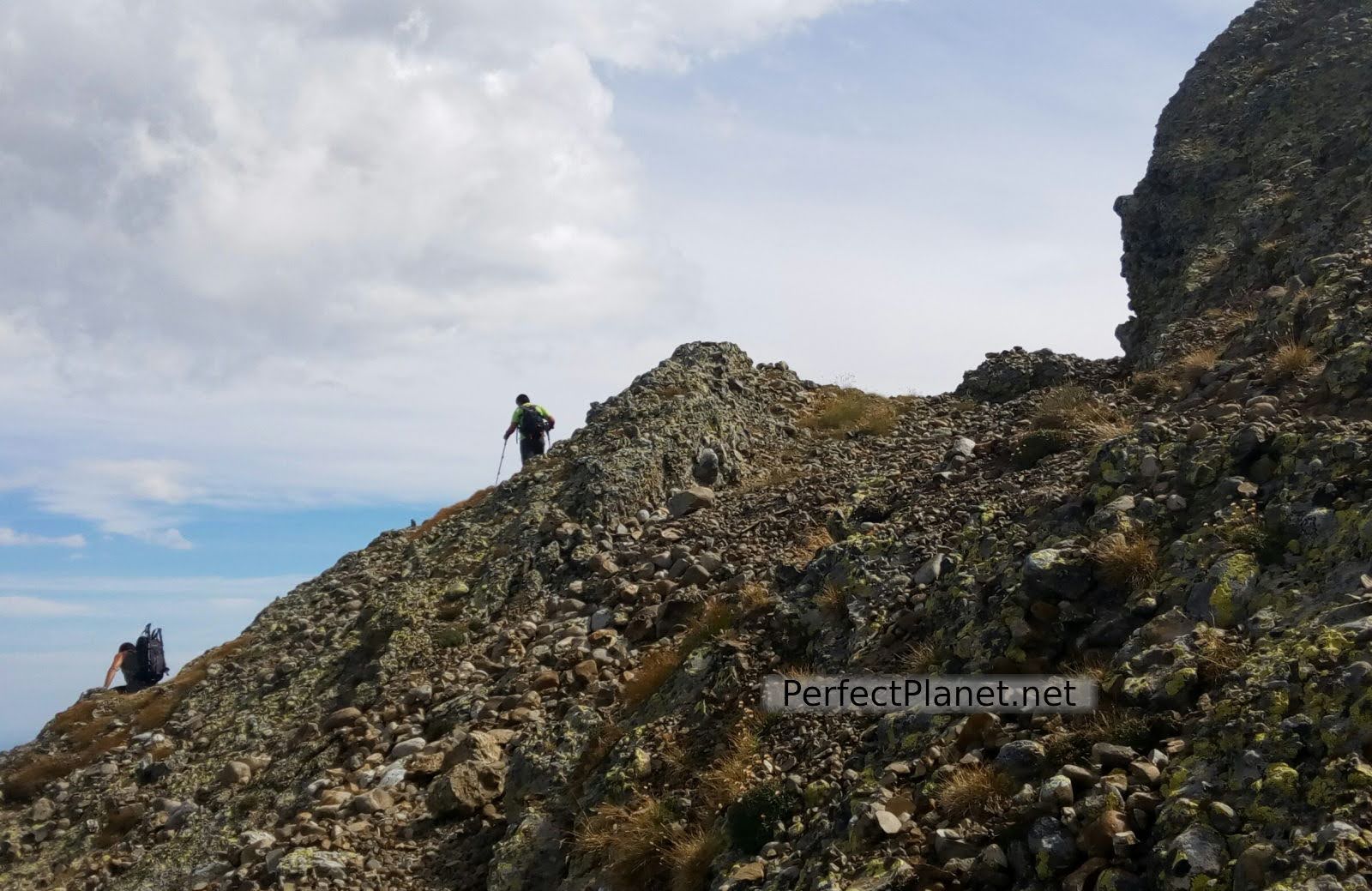
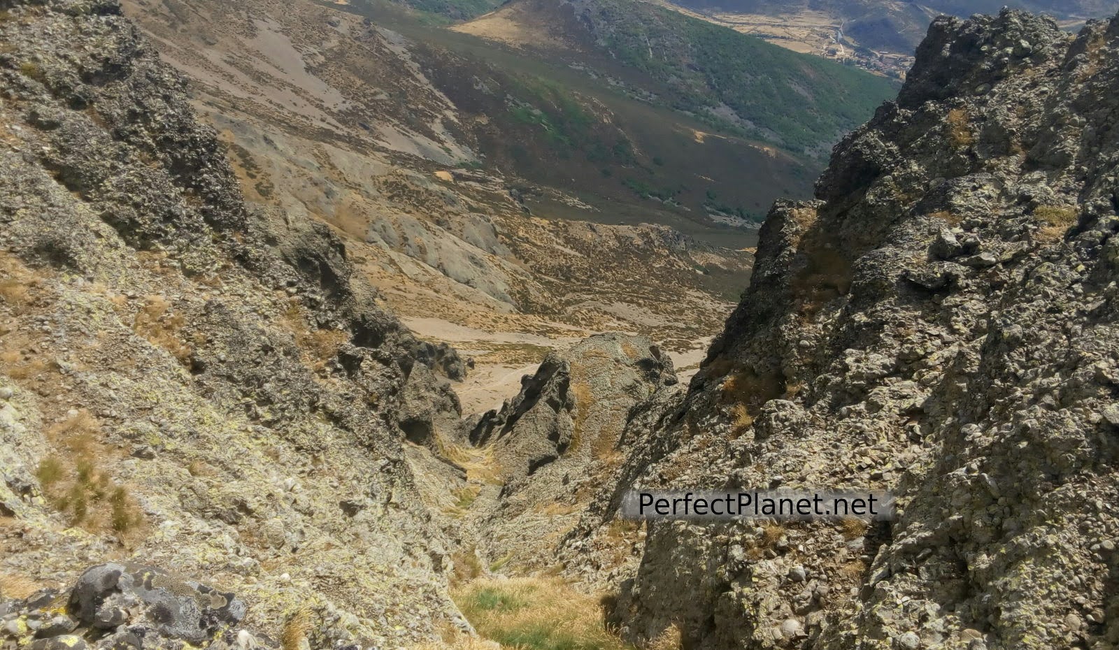
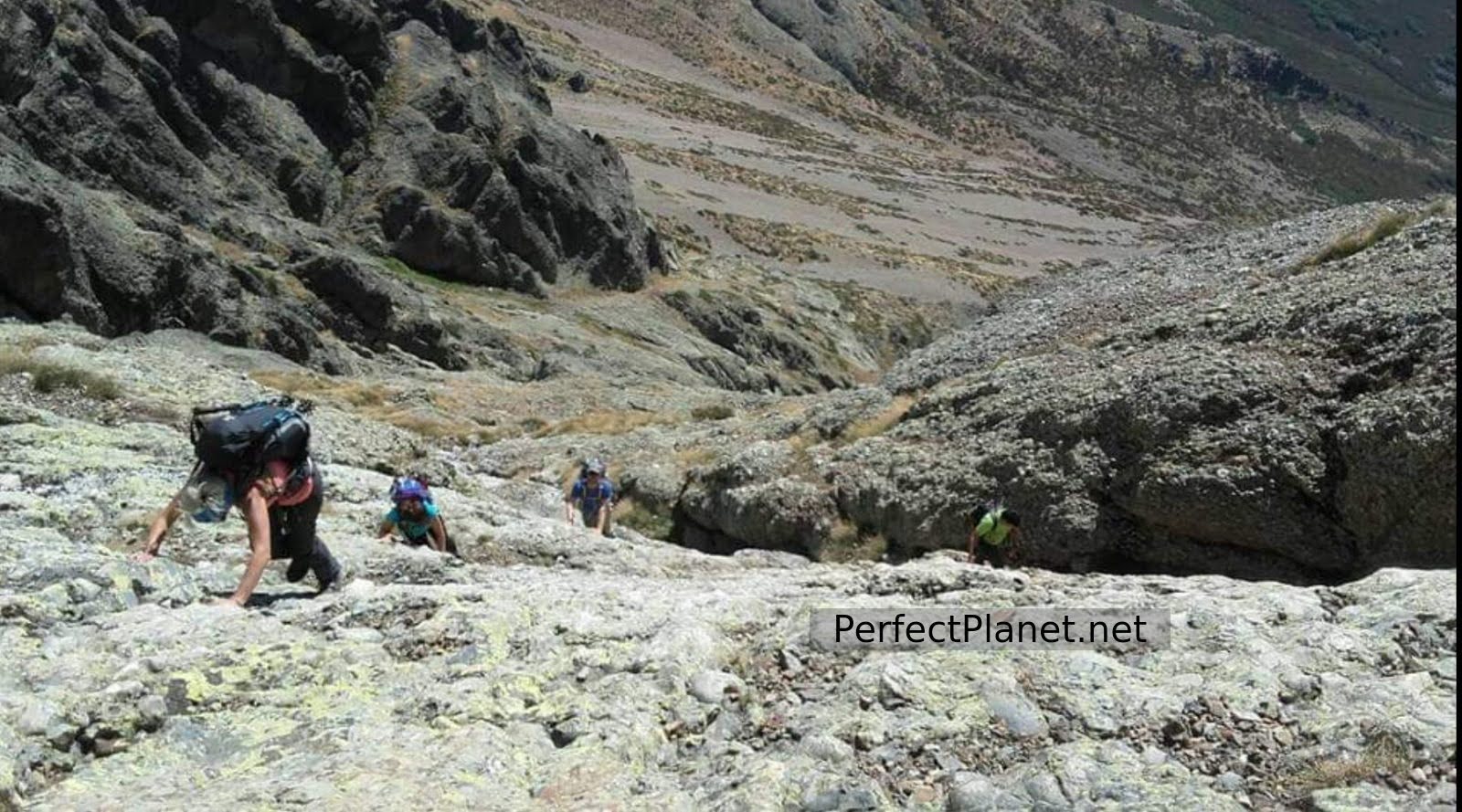
From this point we start to trace a diagonal to the left with some climbing and a small, very easy slope. This section is demanding but has good grip.
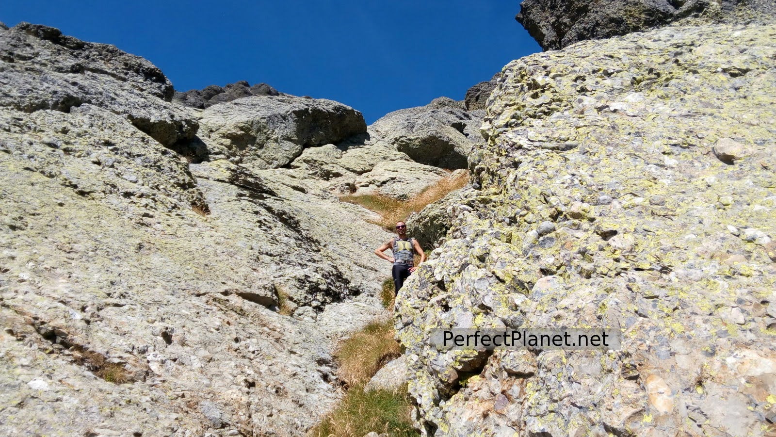
Oblique
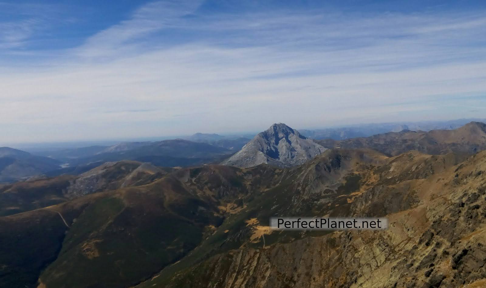
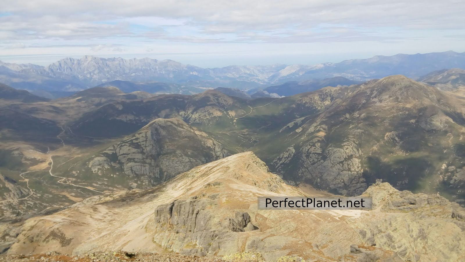
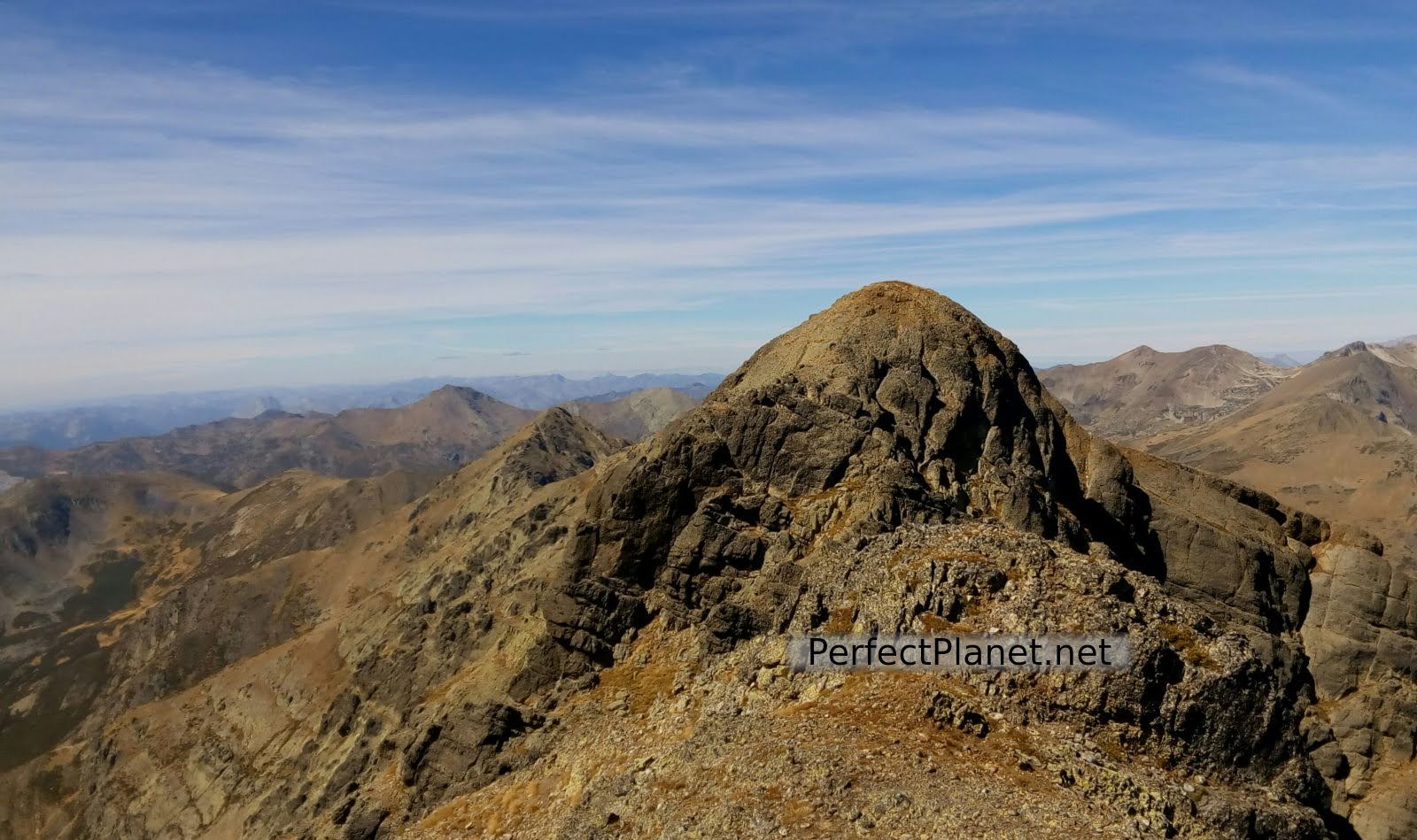
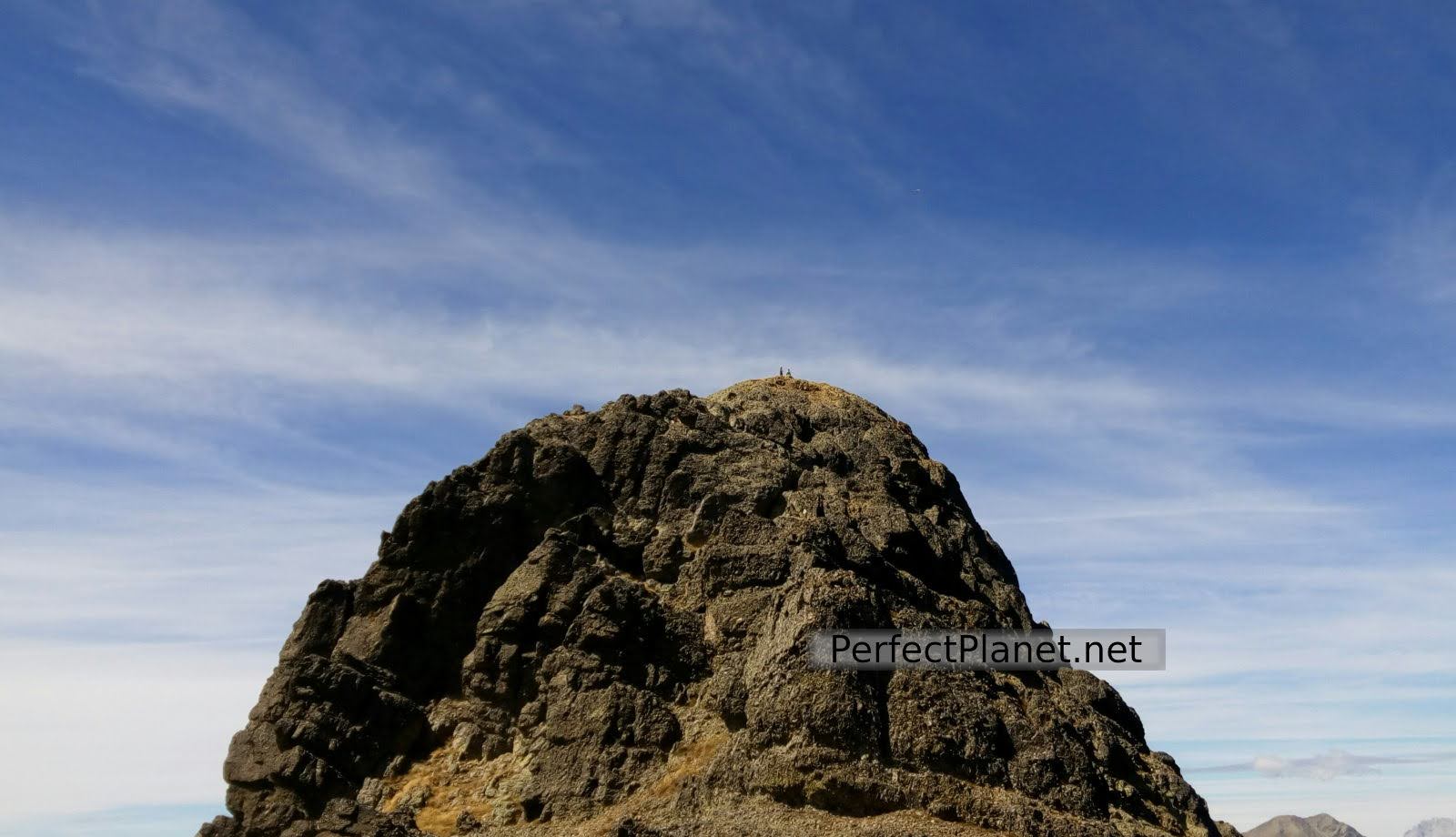
Once at the top all the effort was worth it. First the west peak, then the middle peak and following the ridge we reach our objective, Curavacas peak. The views are spectacular, the day is clear and we have lunch with views of the impressive Cantabrian Mountains and the rest of the Natural Park.
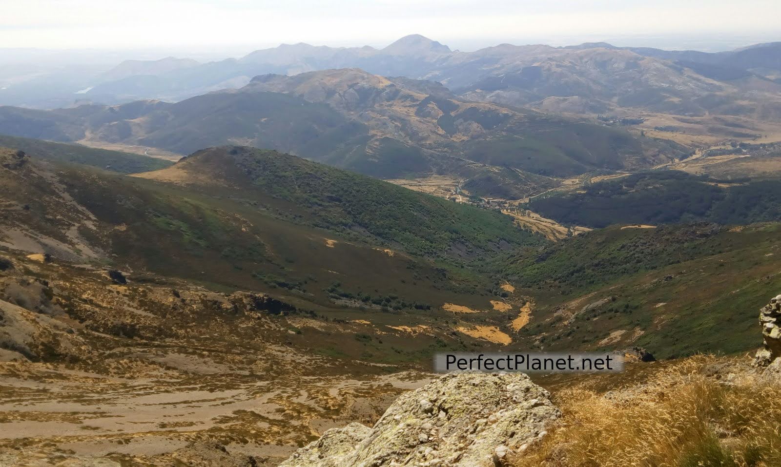
Views
Curavacas
We descend along the Callejo Grande until we reach the pedrera pindia and from here we take the path back to Vidrieros.
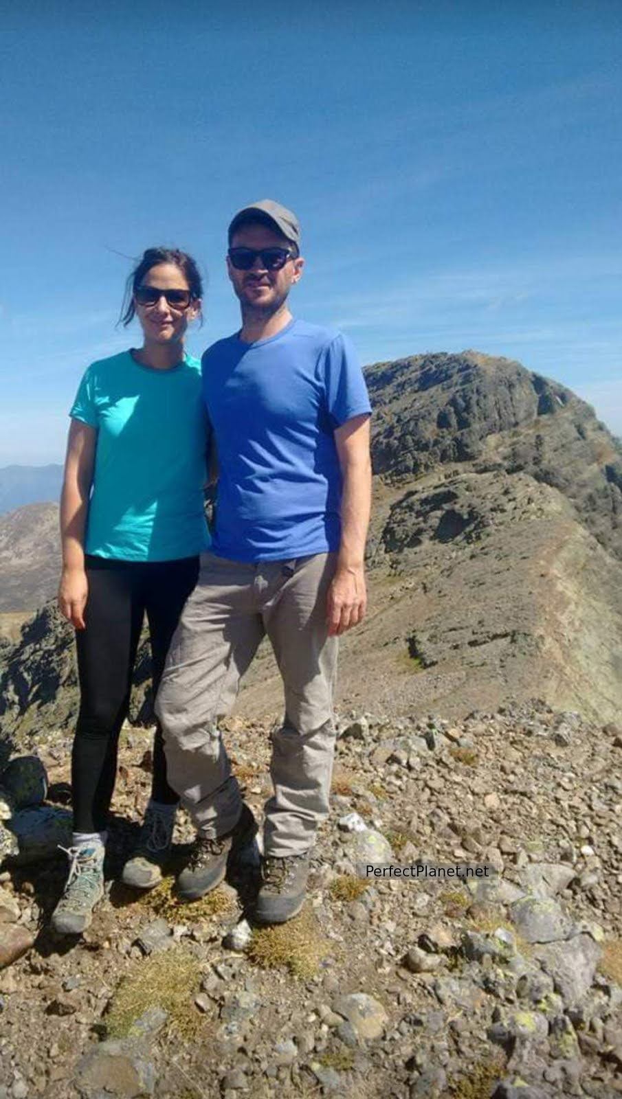
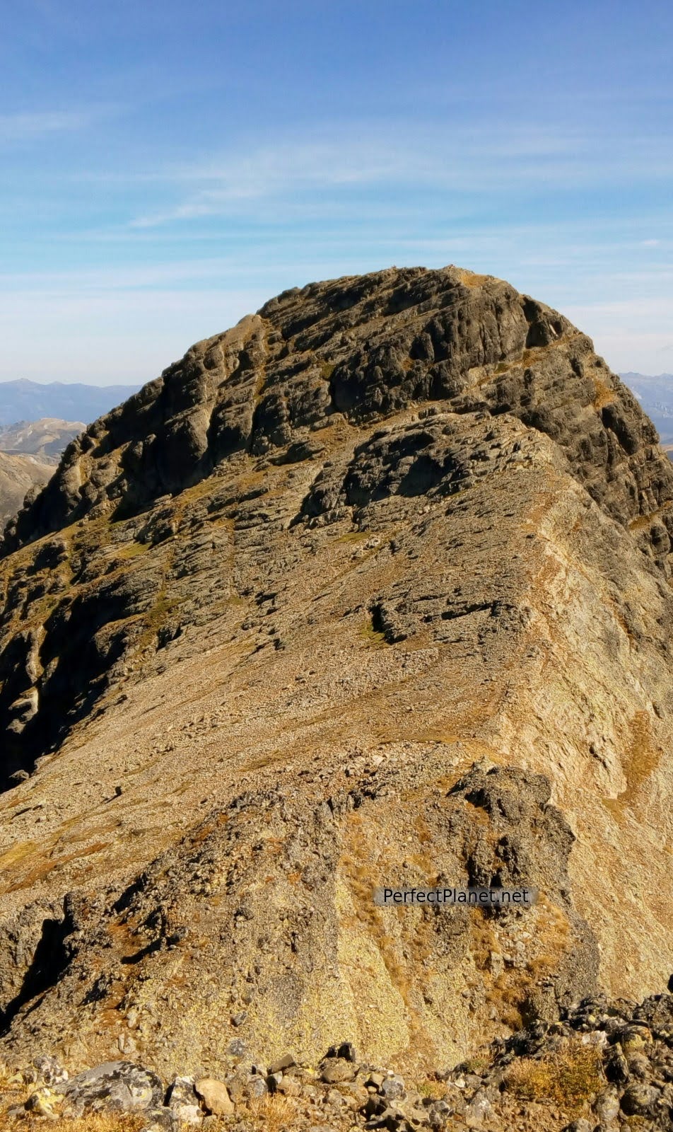
Summit
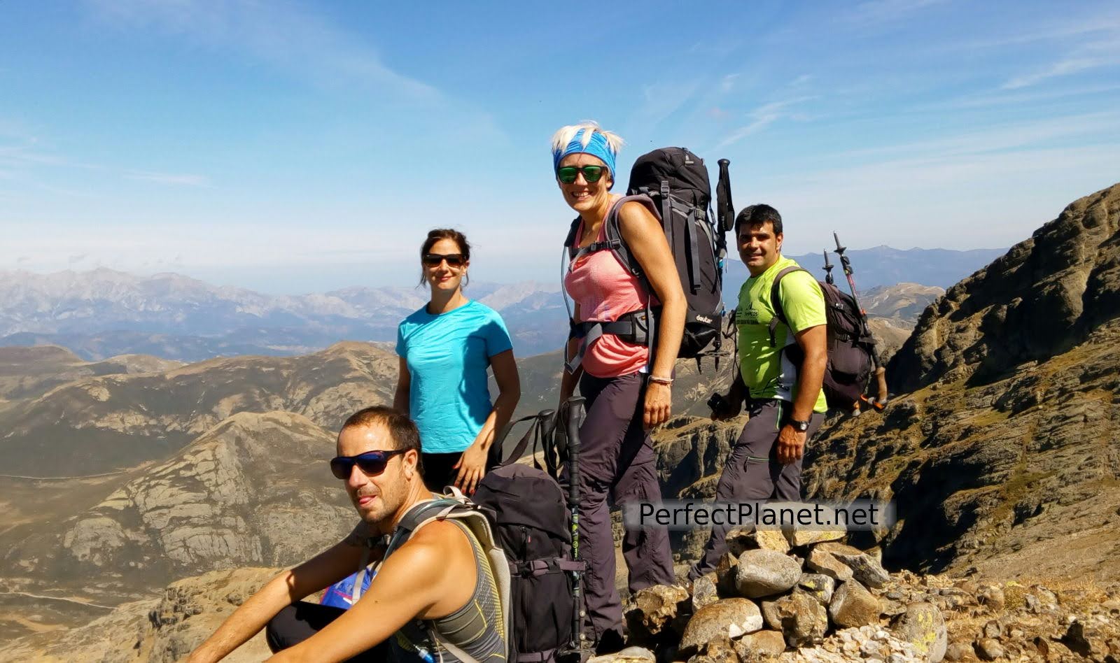
Summit
It is a demanding route, not recommended on rainy days and only for pros in winter conditions.
Curavacas
If you need accommodation you can stay in Triollo at the Mesón Albergue Curavacas or in Cardaño de Abajo at the Caserón de Fuentes Carrionas.
If the weather is good, bivouacking is also a great option.
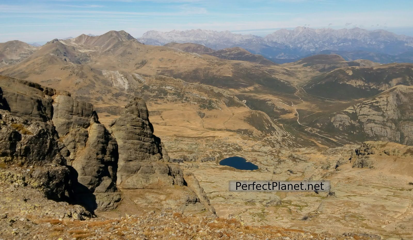
Curavacas lagoon
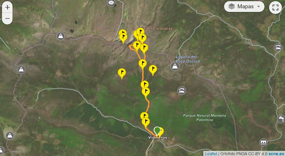
Map
Route: circular
Distance: 12 kilometres
Difference in altitude: 1,200 metres
Difficulty: high
Signposting: the uphill section is not signposted.
Tips: if you do this route in summer, remember that there is no shade along the whole route, so you should always be protected with sun cream and carry enough water.
Whoever makes full or partial use of this track and its additional information, assumes full responsibility for the risks inherent in the practice of the activity, this information is for guidance purposes only.

Curavacas
You may be interested in
Mazobre waterfall
Murcia peak
Peña Tejo
- Log in to post comments