This remote Aragonese valley is one of the most unknown and beautiful in the Pyrenees.

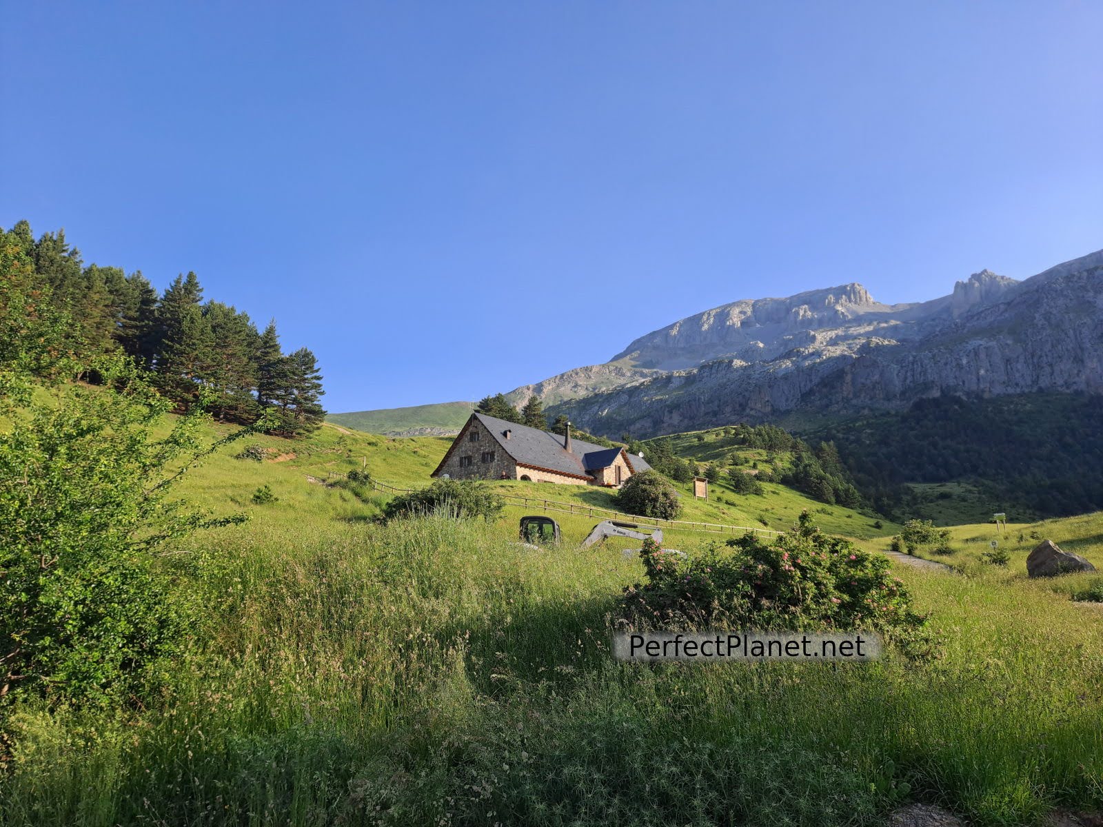
Bisaurin peak and Lizara refuge
Aragüés del Puerto is the largest town in the valley and stands in a spectacular setting in the Jacetania region.
The road that crosses the valley to the Lizara refuge, located at the foot of the Bisaurin peak, is a beautiful route through forests of beech, pine and fir trees.
The Lizara refuge is the starting point for such spectacular routes as the classic ascent of Bisaurín, the Sarrios valley and the Ibón de Estanés. This refuge is one of the seven refuges where you can stay if you decide to do the Senda de Camille mountain crossing, which links the western valleys with the French Pyrenees.
Picnic area
How to get there and where to stay
In Puente la Reina take the A176 road towards Hecho. About 15 kms from Puente la Reina take the turning to the right onto the A-2605 Aragüés del Puerto-Jasa, follow this road for about 20 kms until you reach the refuge.
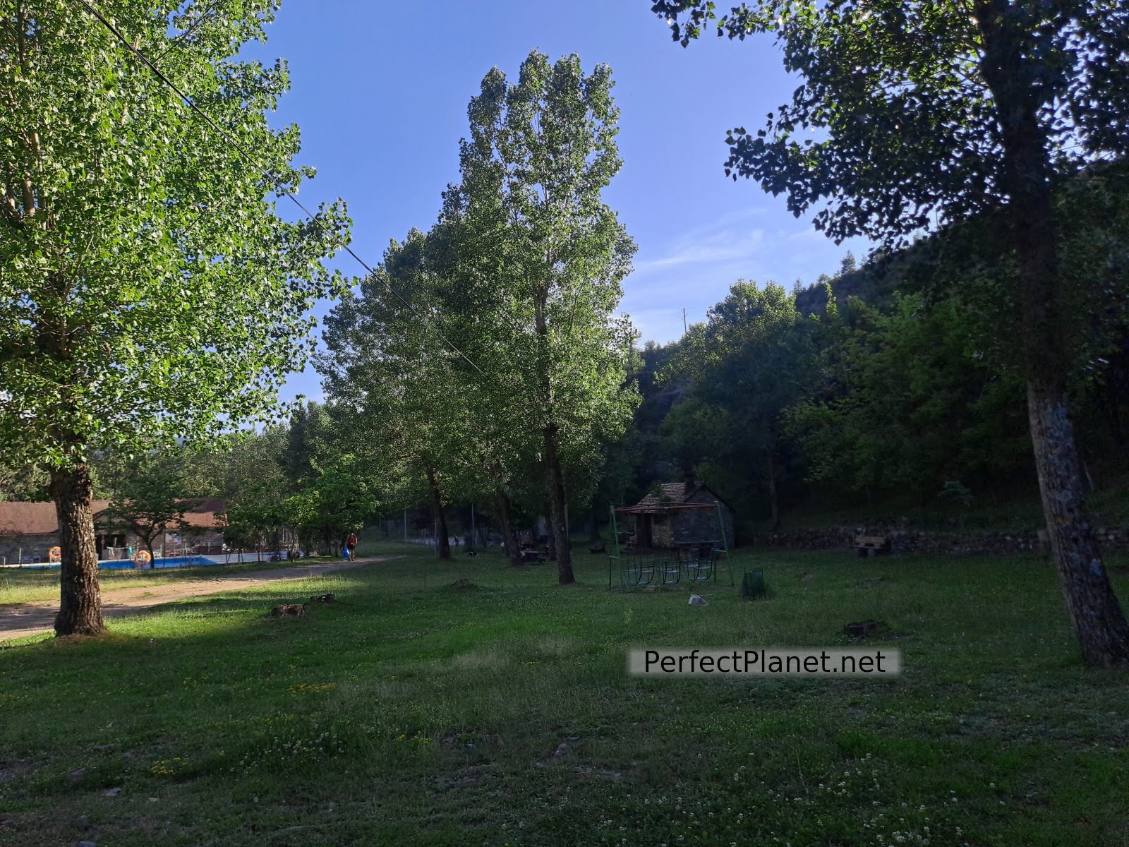
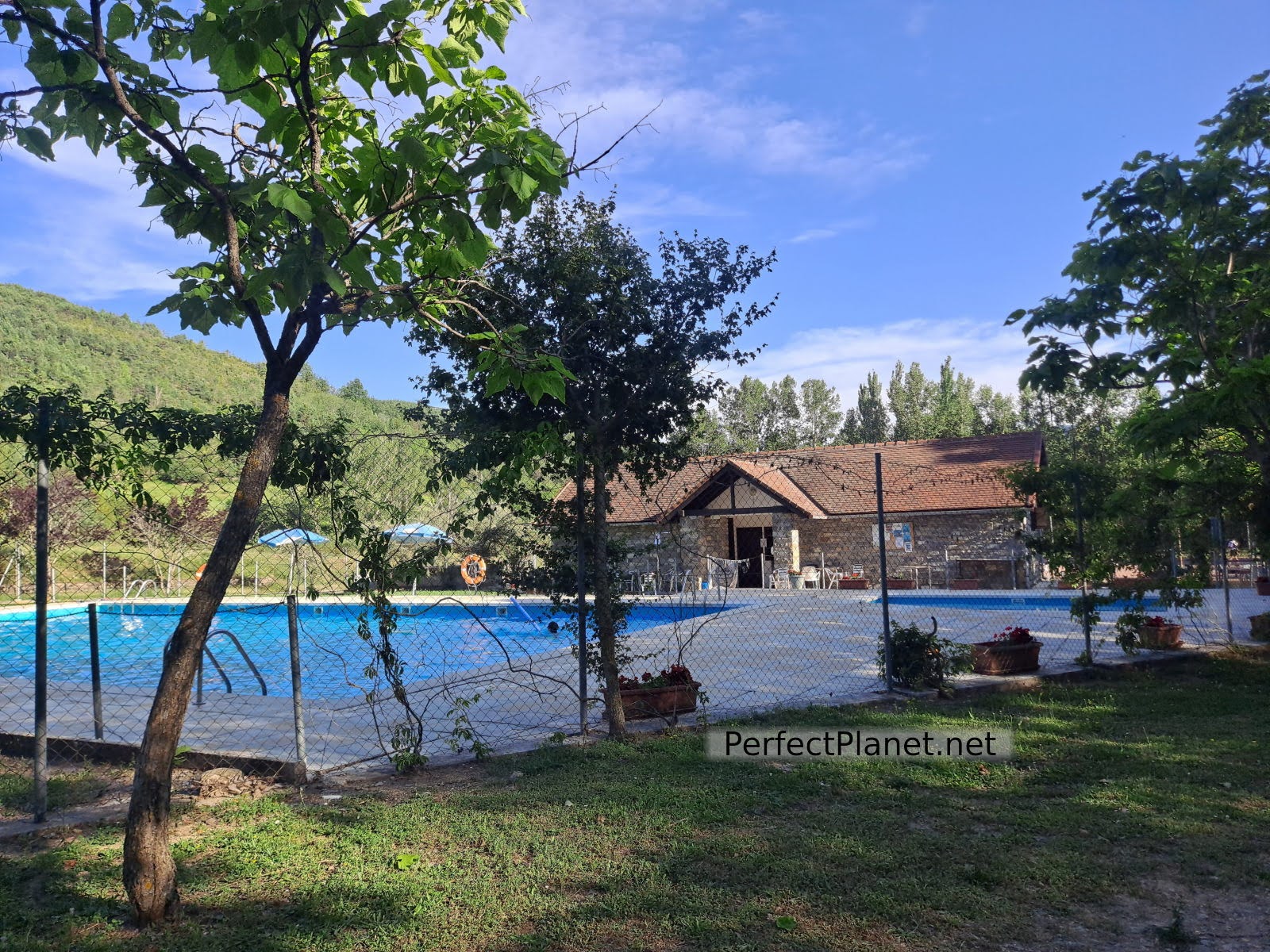
In Aragüés there is a recreational area with tables and a fountain where the municipal swimming pools are located, a great place to spend the night if you go with your van.
Picnic area
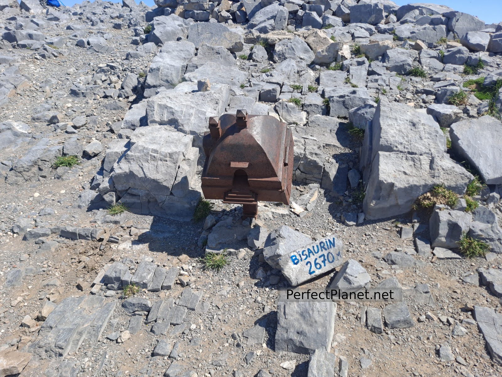
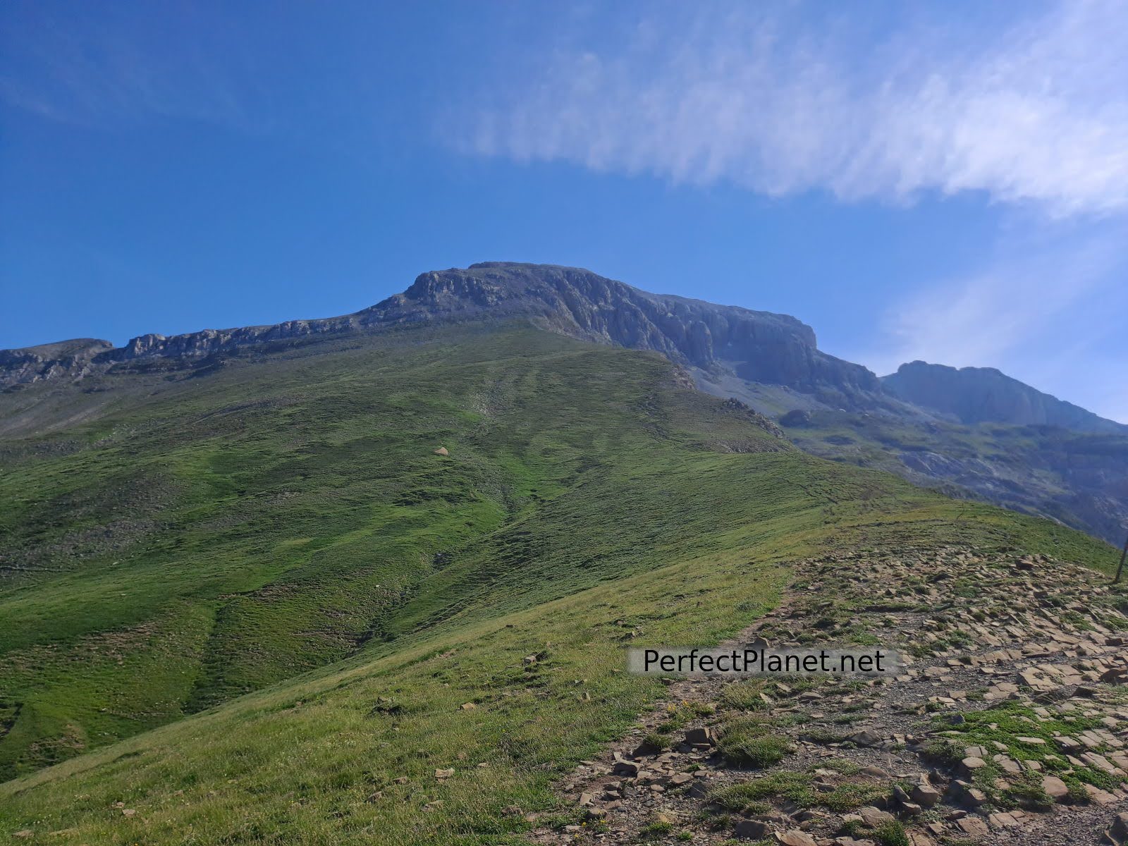
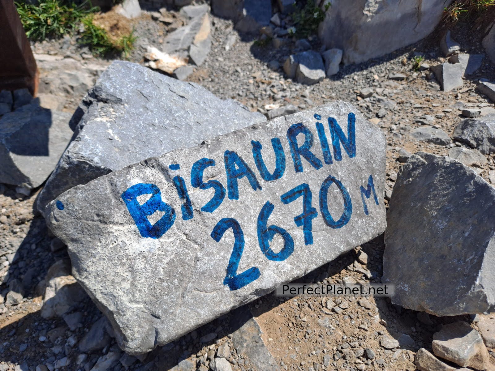
Bisaurin Peak
At 2,667 metres, the Bisaurín is the highest peak in the Western Valleys Natural Park. On this occasion we make the classic ascent from the Lizara refuge, although the ascent from the Gabardito refuge in the Hecho valley is very popular.
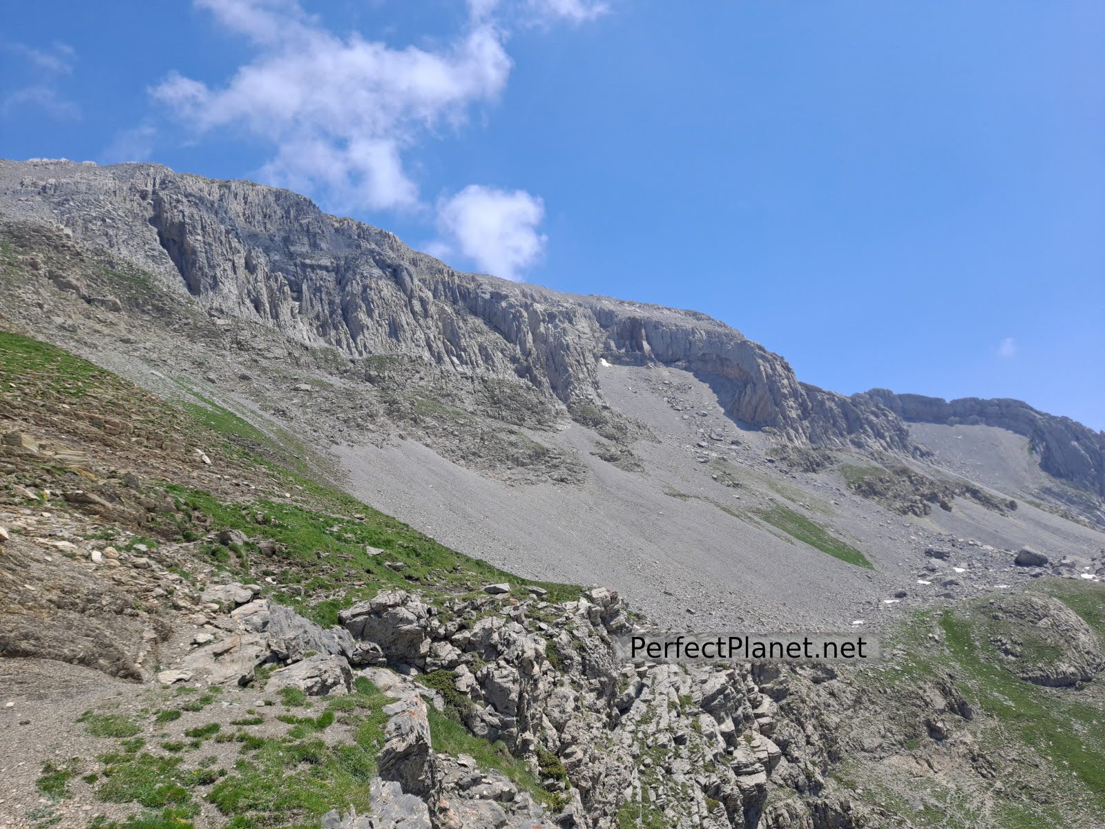
Foratón coll
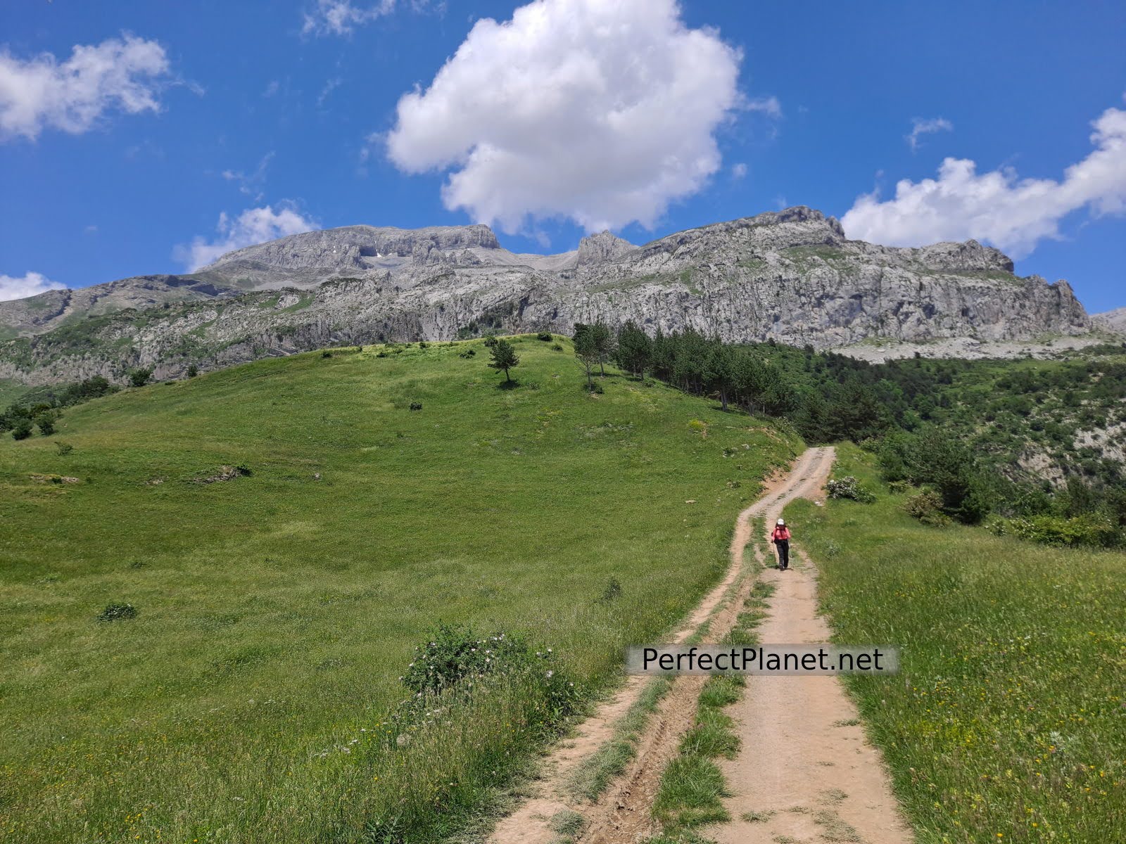
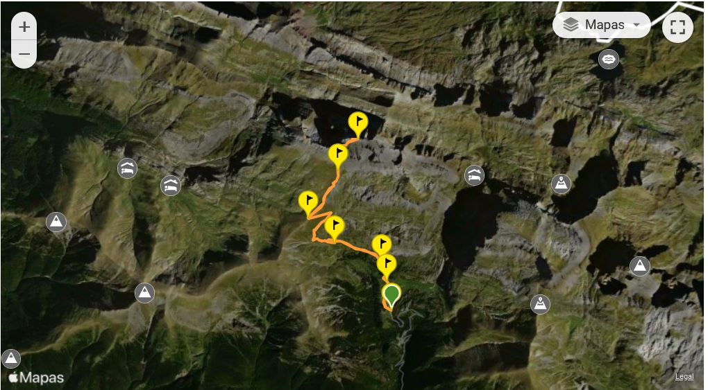
We set off from the Lizara refuge following the GR11 signs towards the Collado de Foratón pass. The path, well signposted, runs through meadows through which we will gradually ascend until we reach the pass.
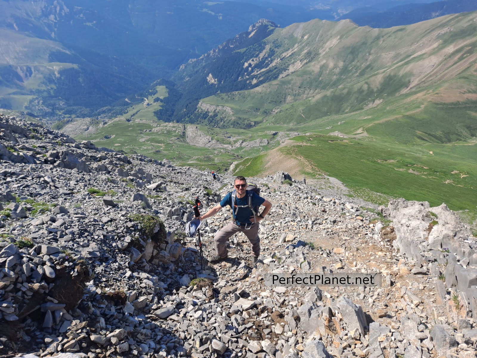
Area of stones
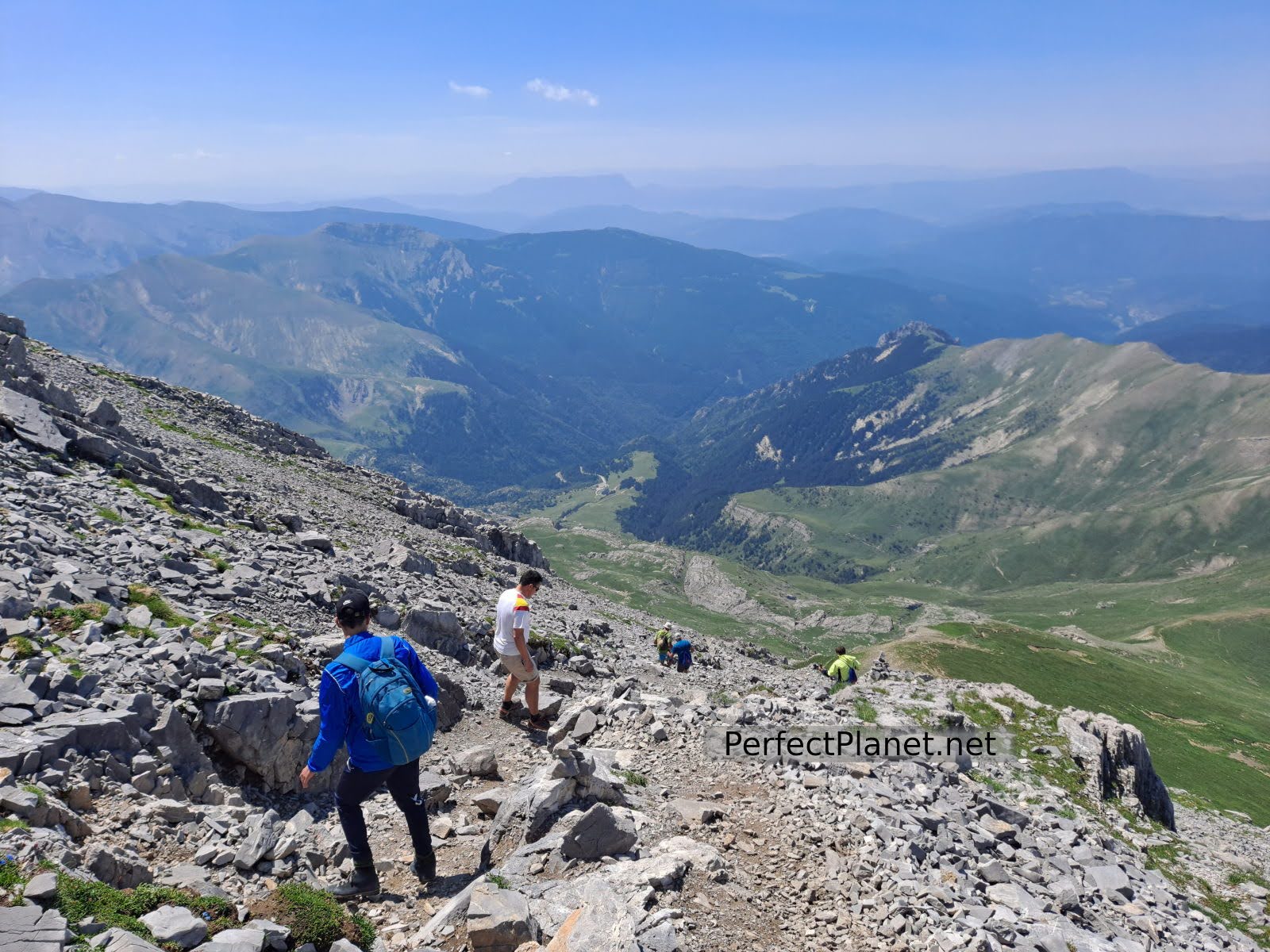
From the Foratón pass we turn to our right to begin the steep ascent of the almost 700 metres of height difference that remain, first on a path and then on decomposed rock until we reach the summit. It is a demanding stretch but not technically difficult.
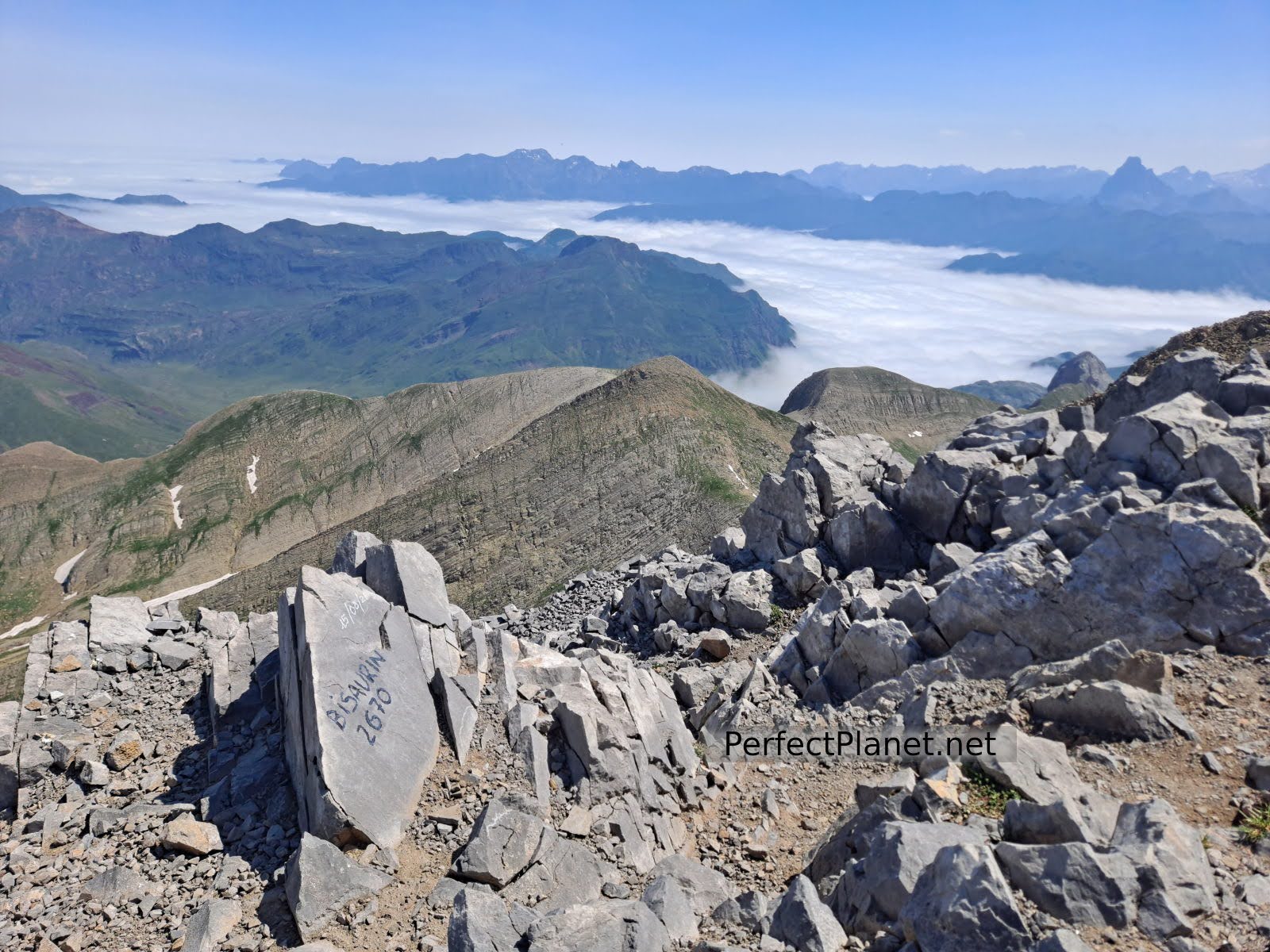
Summit
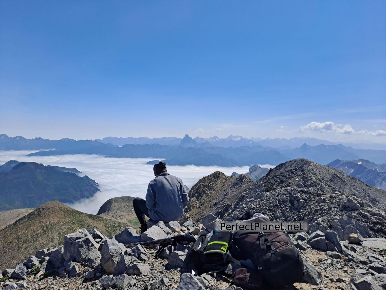
Midi d´Ossau views
The views from the summit of Bisaurín are spectacular, Midi d'Ossau, Anayet, Acher Castle, Mesa de los Tres Reyes and Annie among others.
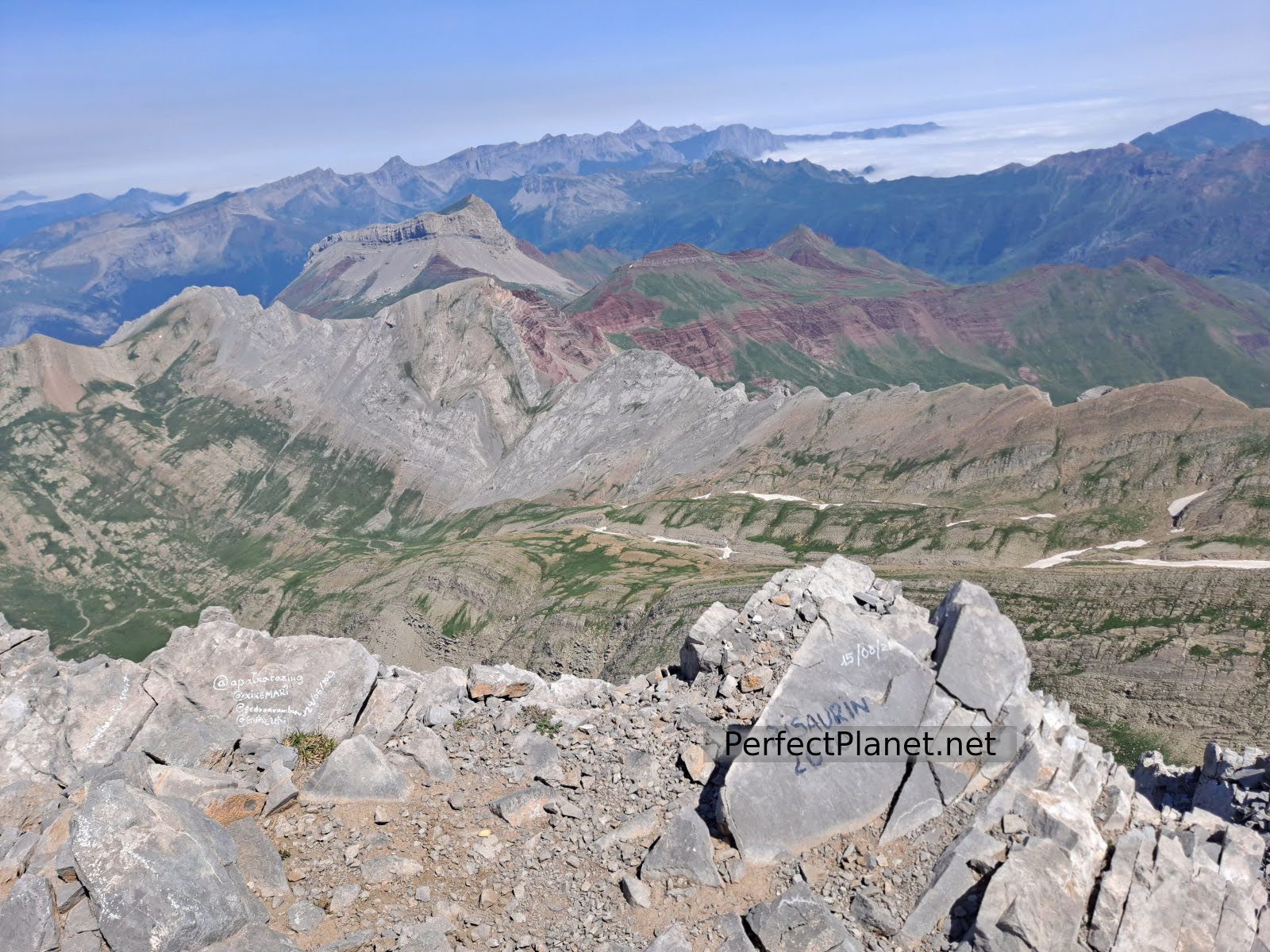
Castillo de Acher views
We return along the same path until we reach the pass and finish at the Lizara refuge.
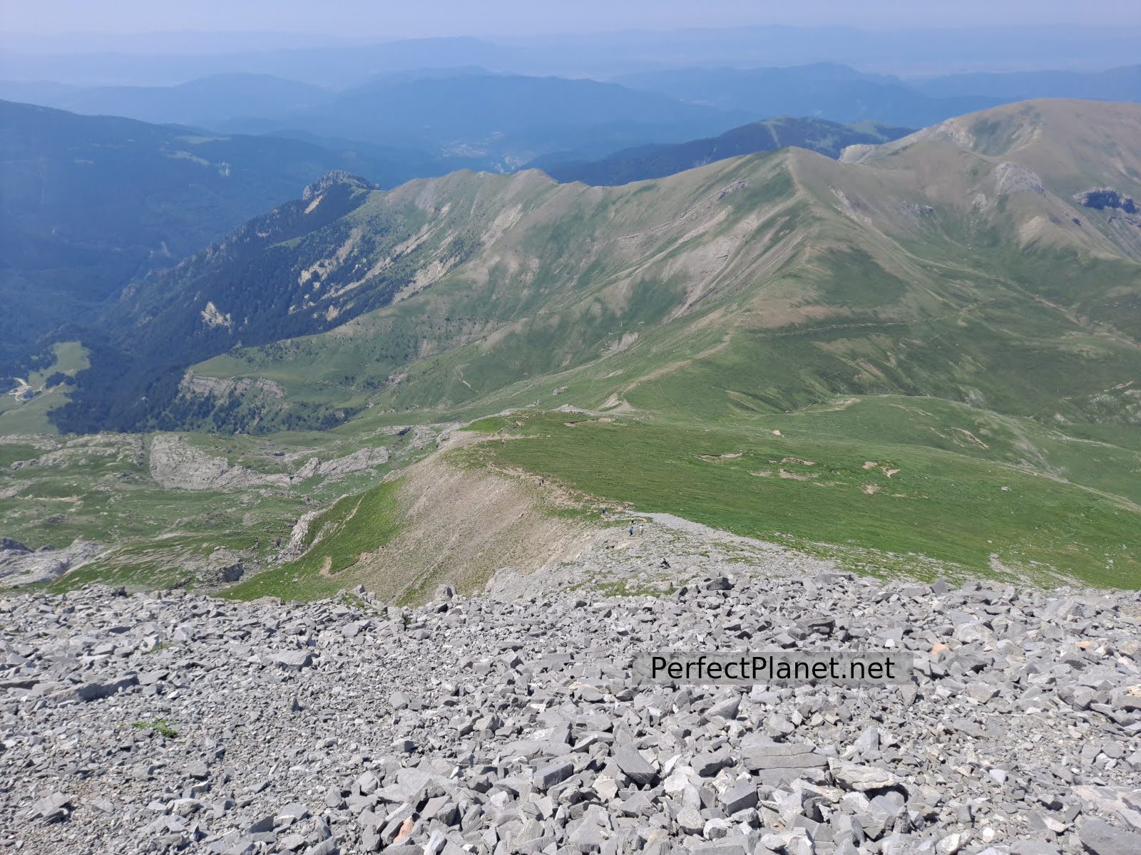
Area of stones
Route: outward and return
Distance: 11 kilometres
Elevation gain: 1,150 metres
Tips. If you do this route in summer remember that there is no shade along the whole route so you should always be protected with sun cream and carry enough water. If you do the winter variant remember to take full equipment, ice axe and crampons.
Whoever makes full or partial use of this track and its additional information, assumes full responsibility for the risks inherent in the practice of the activity, this information is for guidance purposes only.
Map
You may be interested in
- Log in to post comments