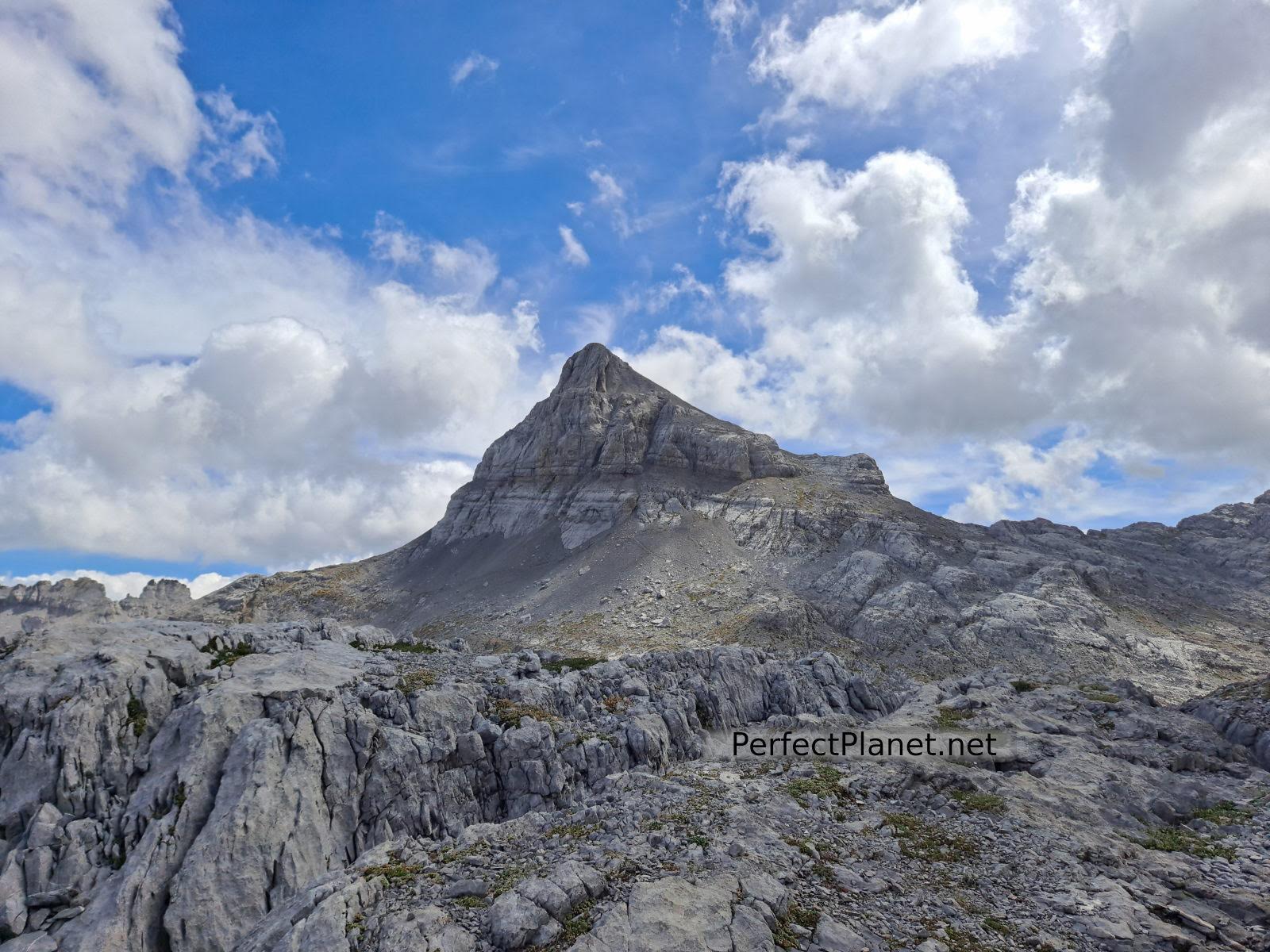
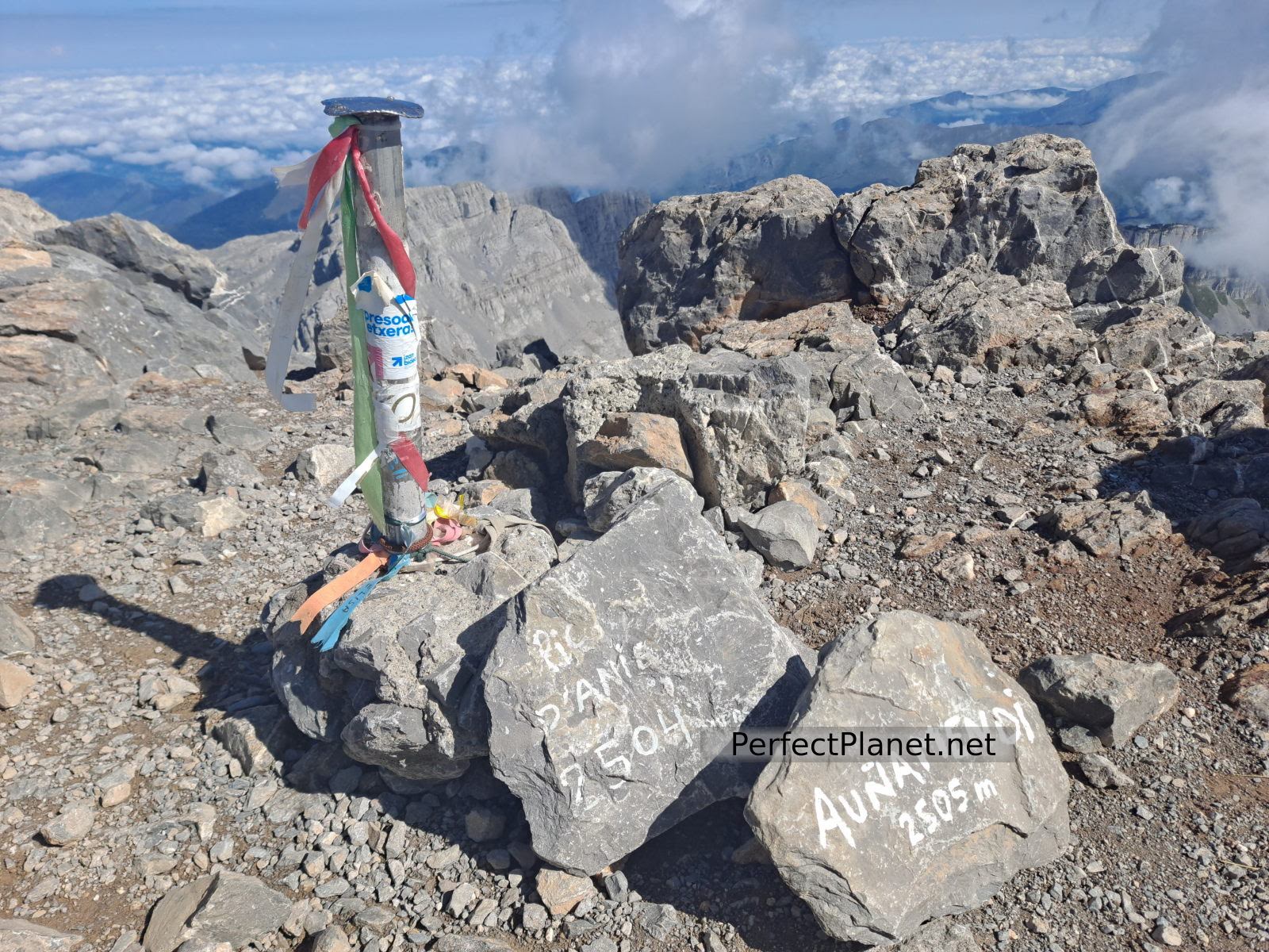
It could be said that the Anie or Auñamendi peak is one of the most beautiful mountains we have ever climbed.

Anie
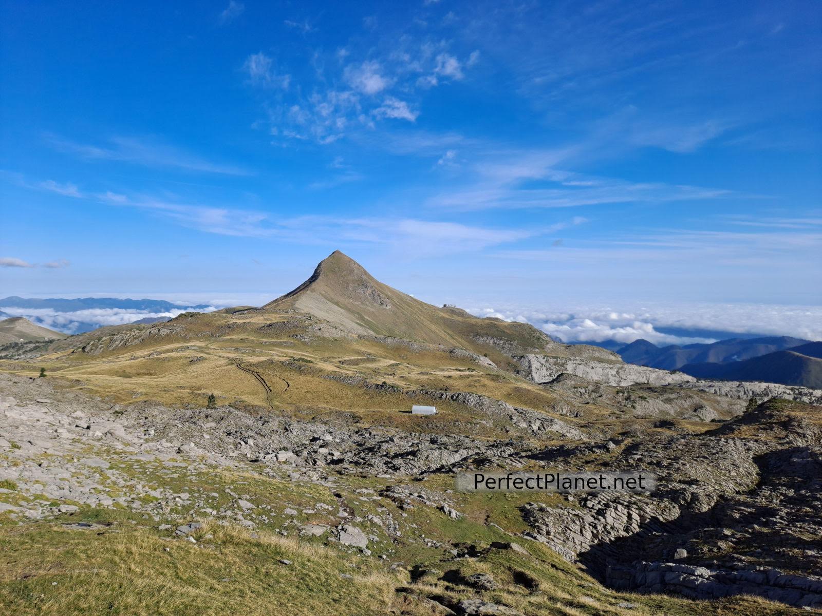
At 2,504 metres high and shaped like a pyramid, it dominates the border between Spain and France.
How to get to the Anie and where to stay
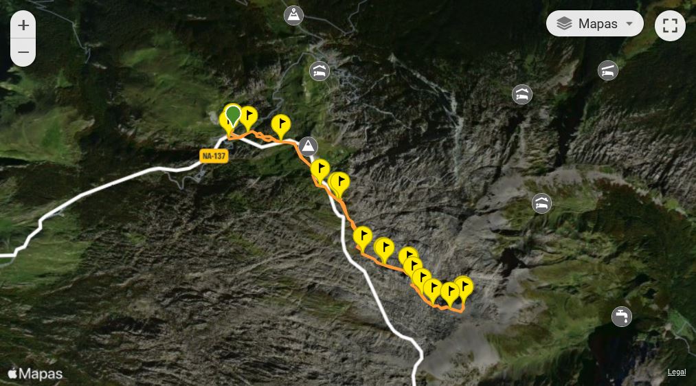
From the A21, take the A137 road towards the Roncal Valley - Isaba. Continue until you reach the border with France at the Piedra de San Martín car park (Belagua) or coll de la Pierre Saint-Martin where you leave your car.
The Belagua refuge is a perfect place to stay. This mountain refuge at the foot of the road has magnificent views of the Anie on clear days.
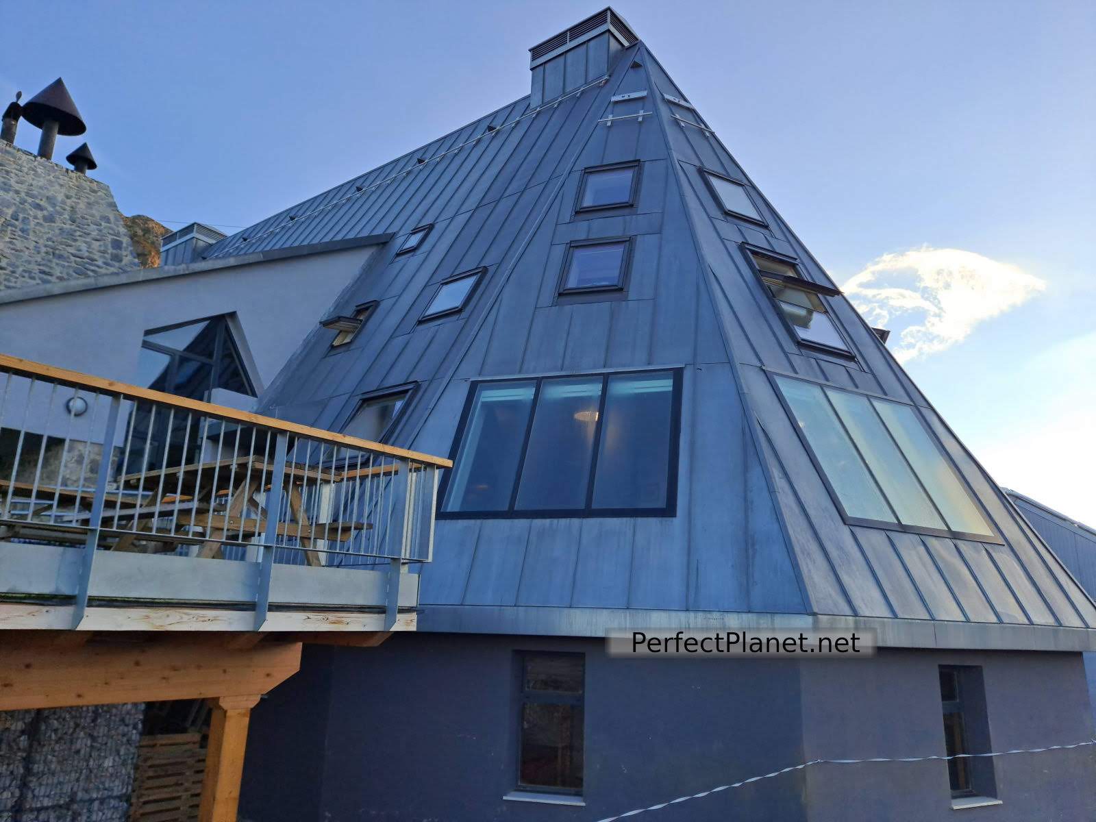
Belagua refuge
We start our route from the Coll de la Piedra de San Martín (Belagua) or Coll de la Pierre Saint-Martin, where we leave the car.
Nearby is the chasm of the Piedra de San Martín, one of the largest in Europe, and next to the road is the cairn where the popular Tribute of the 3 cows is held. Every 13th July the mayors of Baretous give 3 cows to the mayors of Roncal, sealing it with their hands intertwined on the stone of San Martín.
Piedra de San Martín
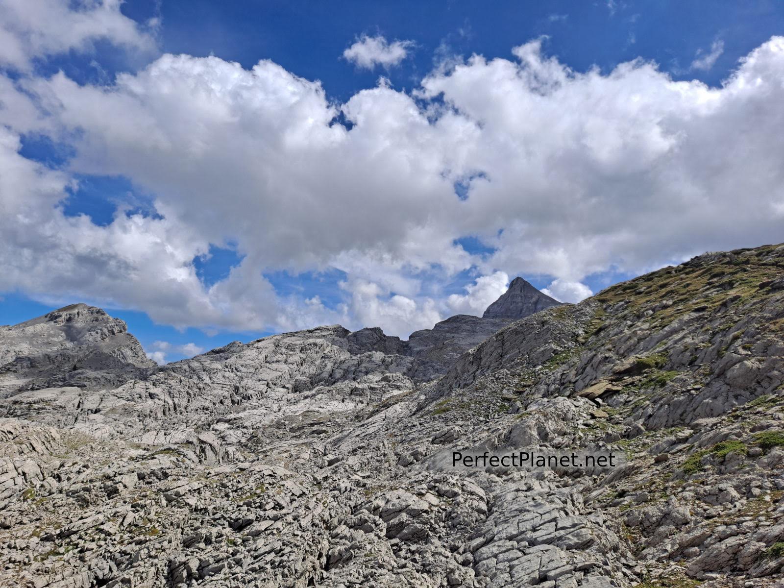
We set off in an easterly direction, leaving the Arlás peak on our left. Follow the path until you reach the Col de Pescamou. As a reference, leave the metal hut on the left hand side.
Arlás
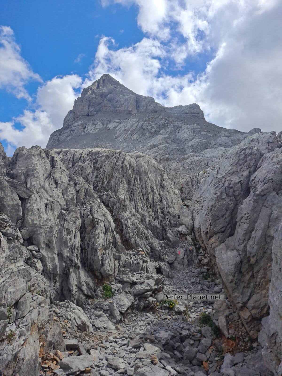
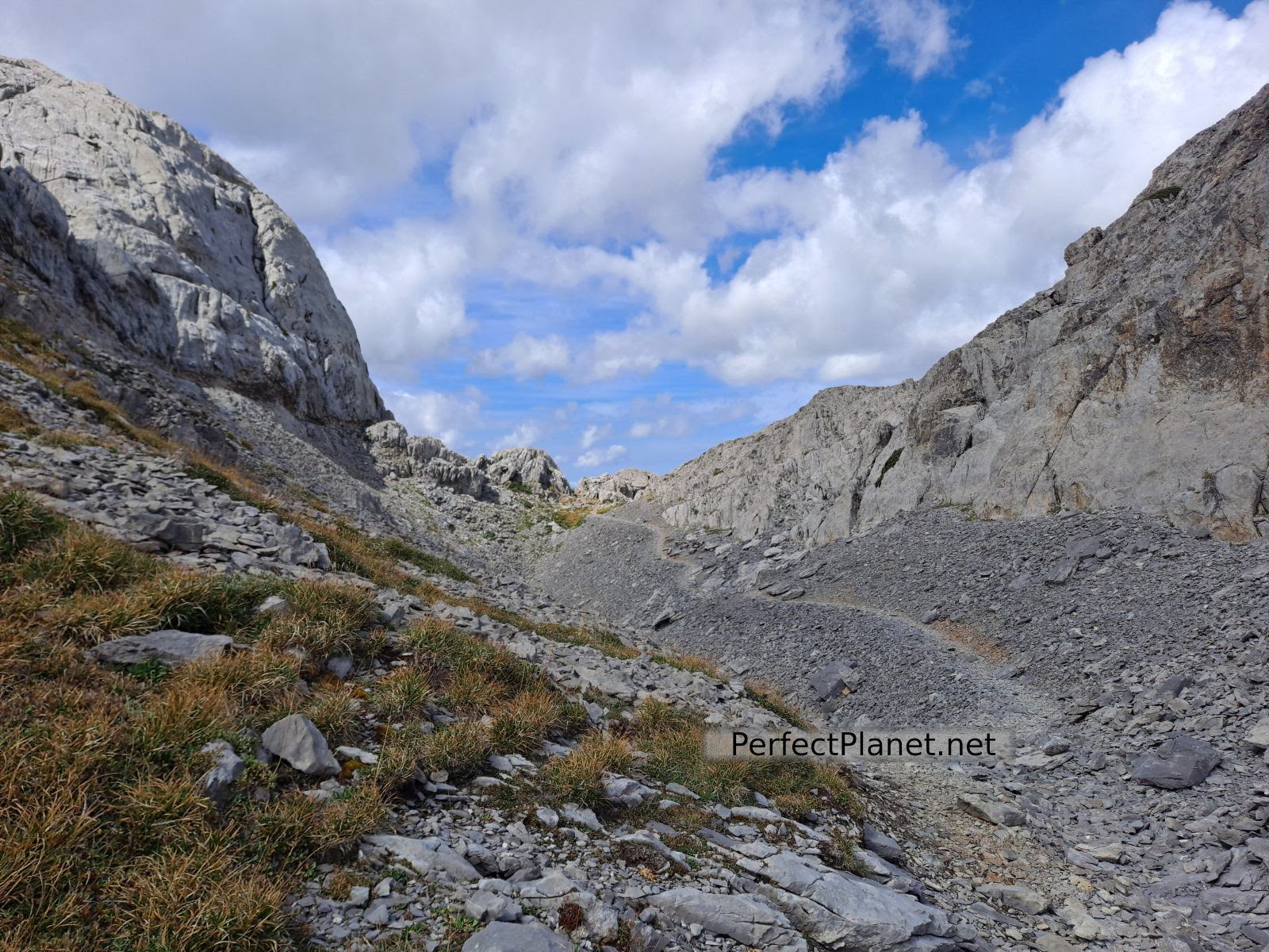
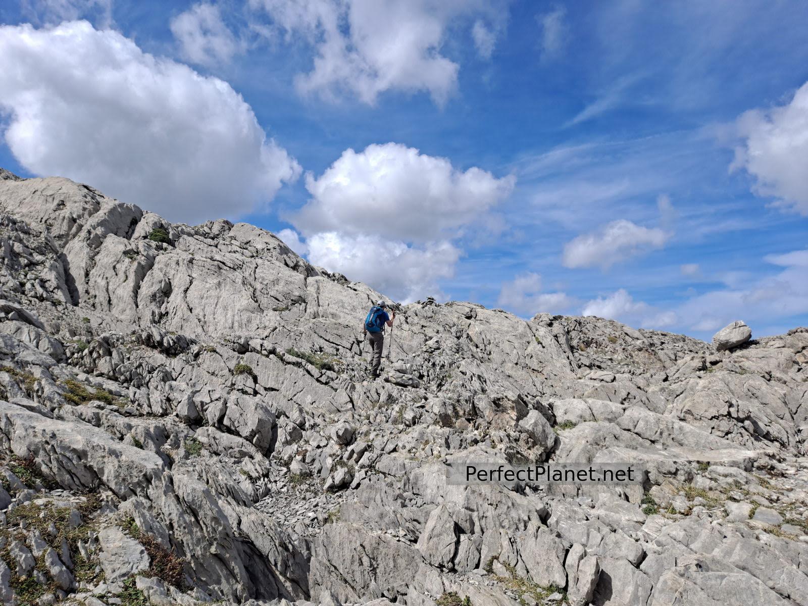
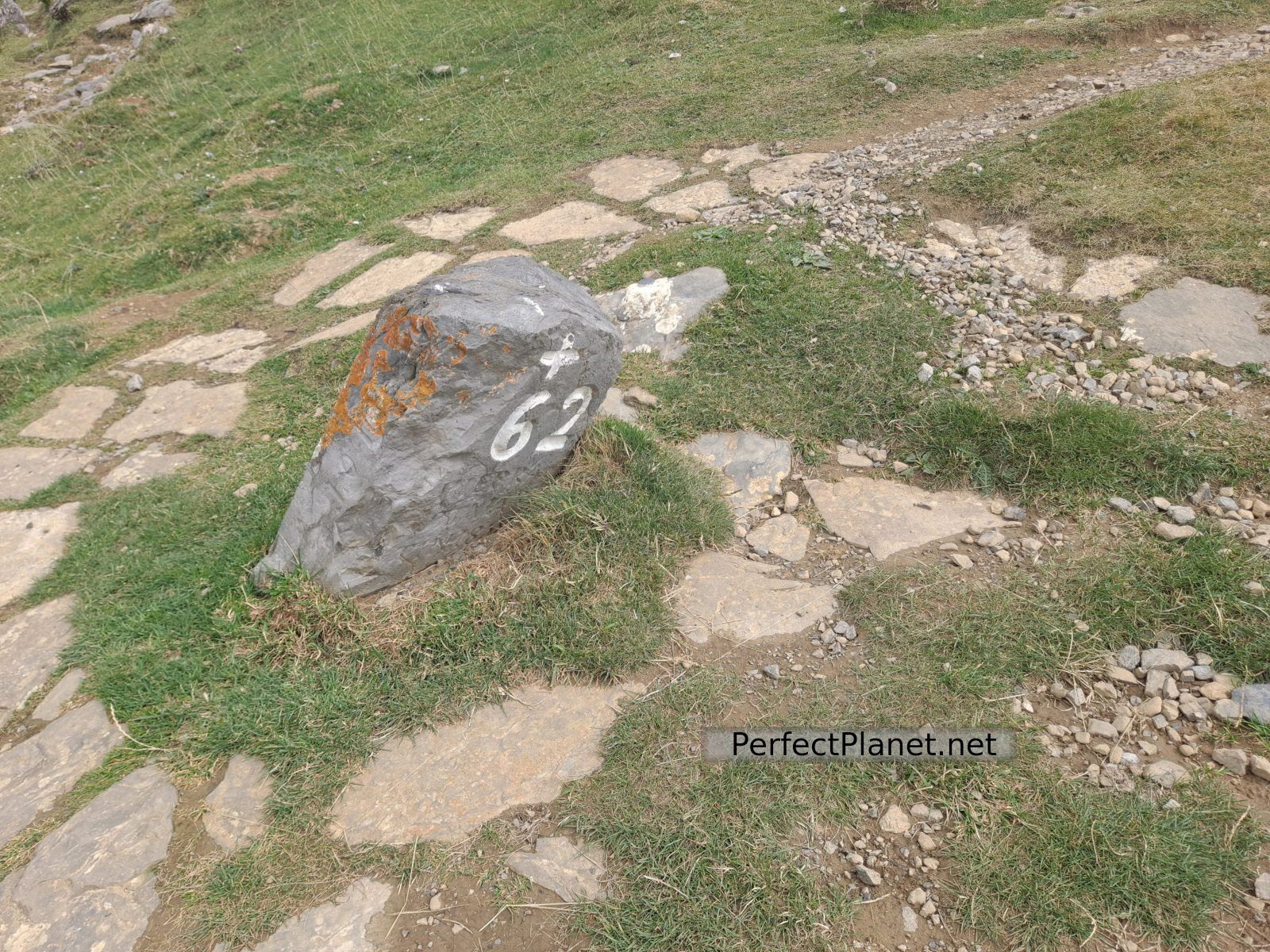
We continue along the path (always marked) until we reach the Larra karst. The views of the Anie from the lapiaz are impressive. To cross the lapiaz you have to follow the milestones and paint marks, watch out for cracks.
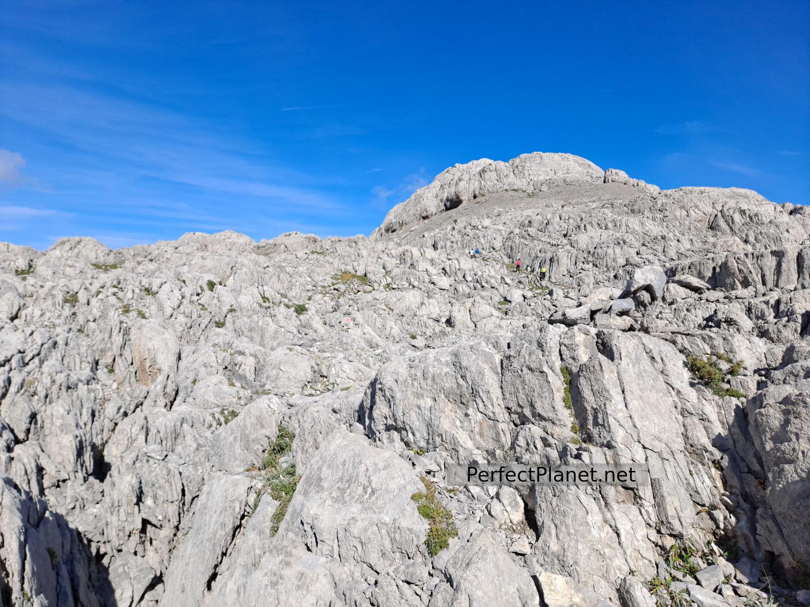
Lapiaz
Anie
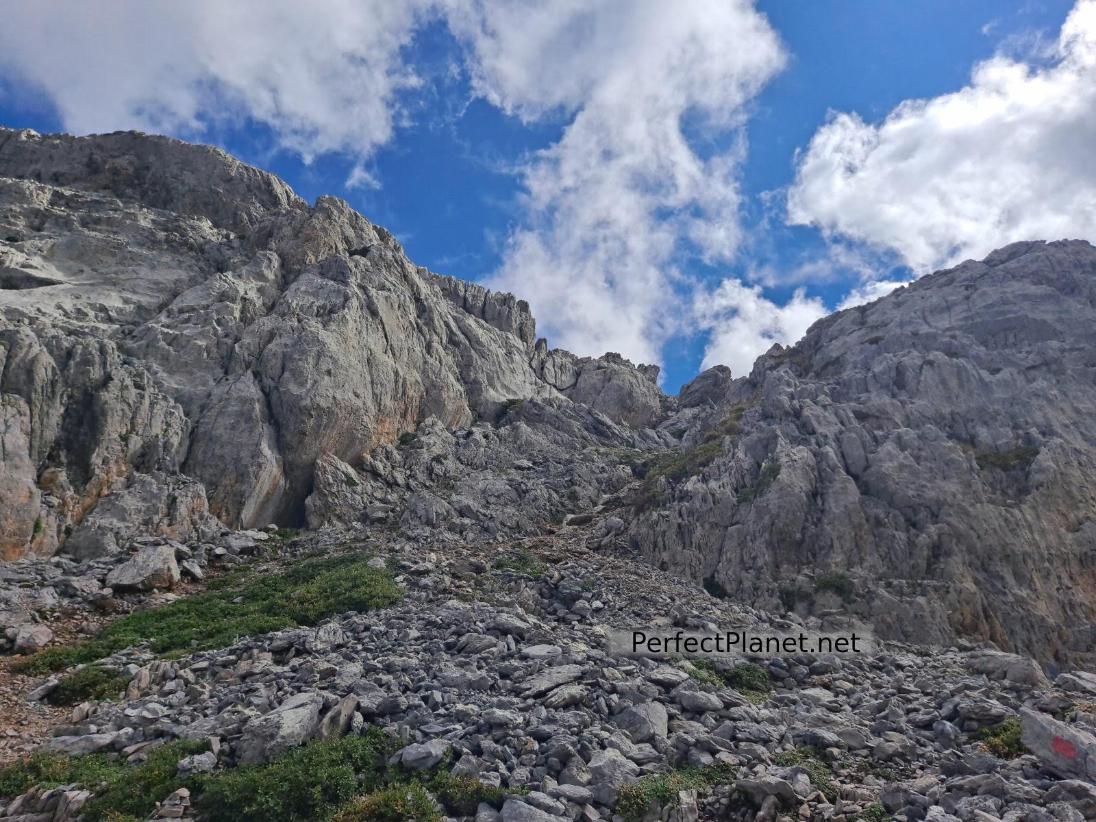
Once past the lapiaz we start the steep climb up to the summit, which is a little rough on the last stretch.
Anie
Anie
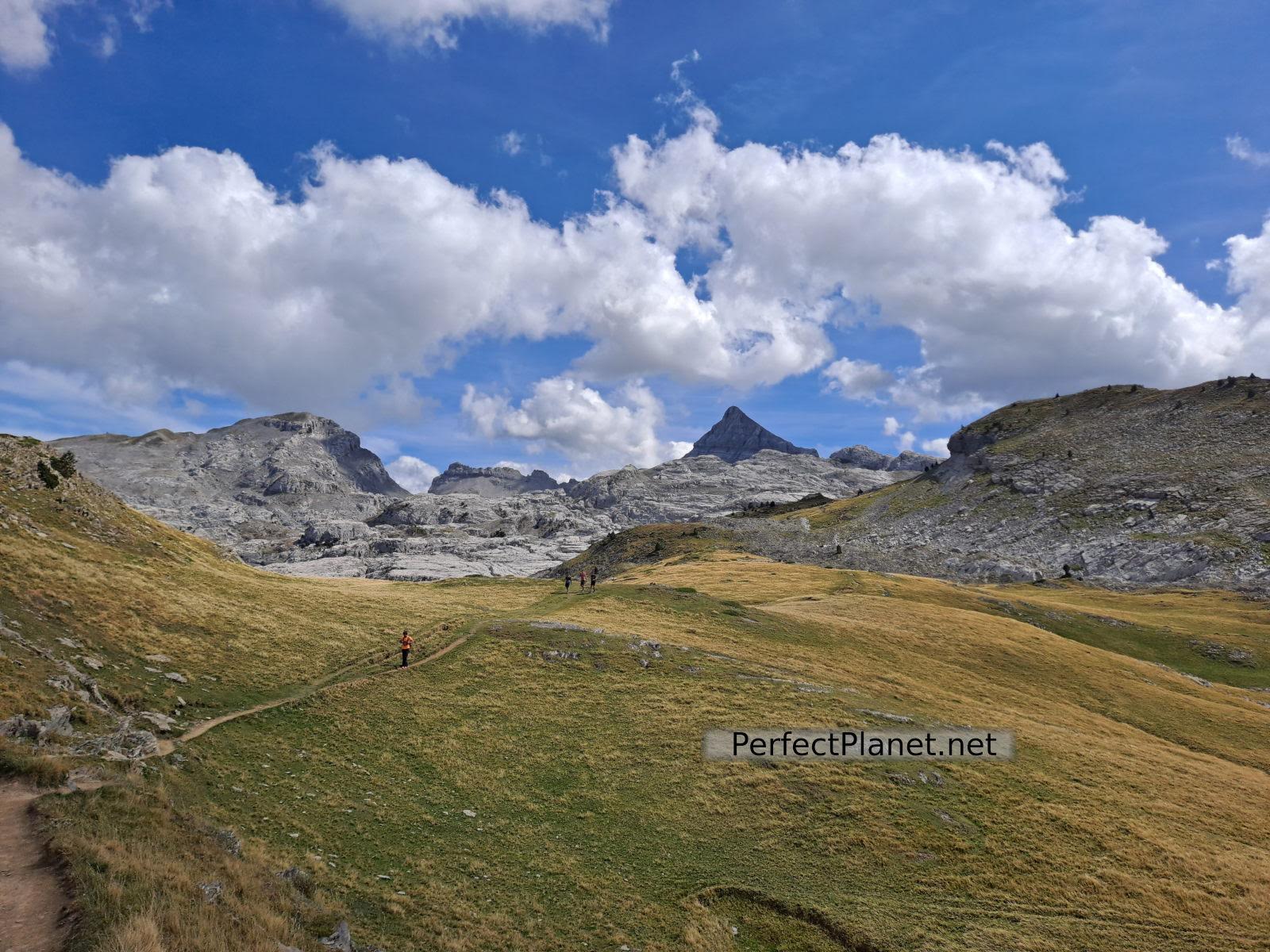
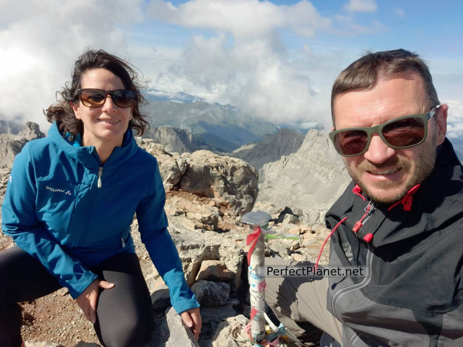
The day is clear and the views from the summit are spectacular. From here we can see our next objective, the Mesa de los Tres Reyes, the highest peak in Navarre.
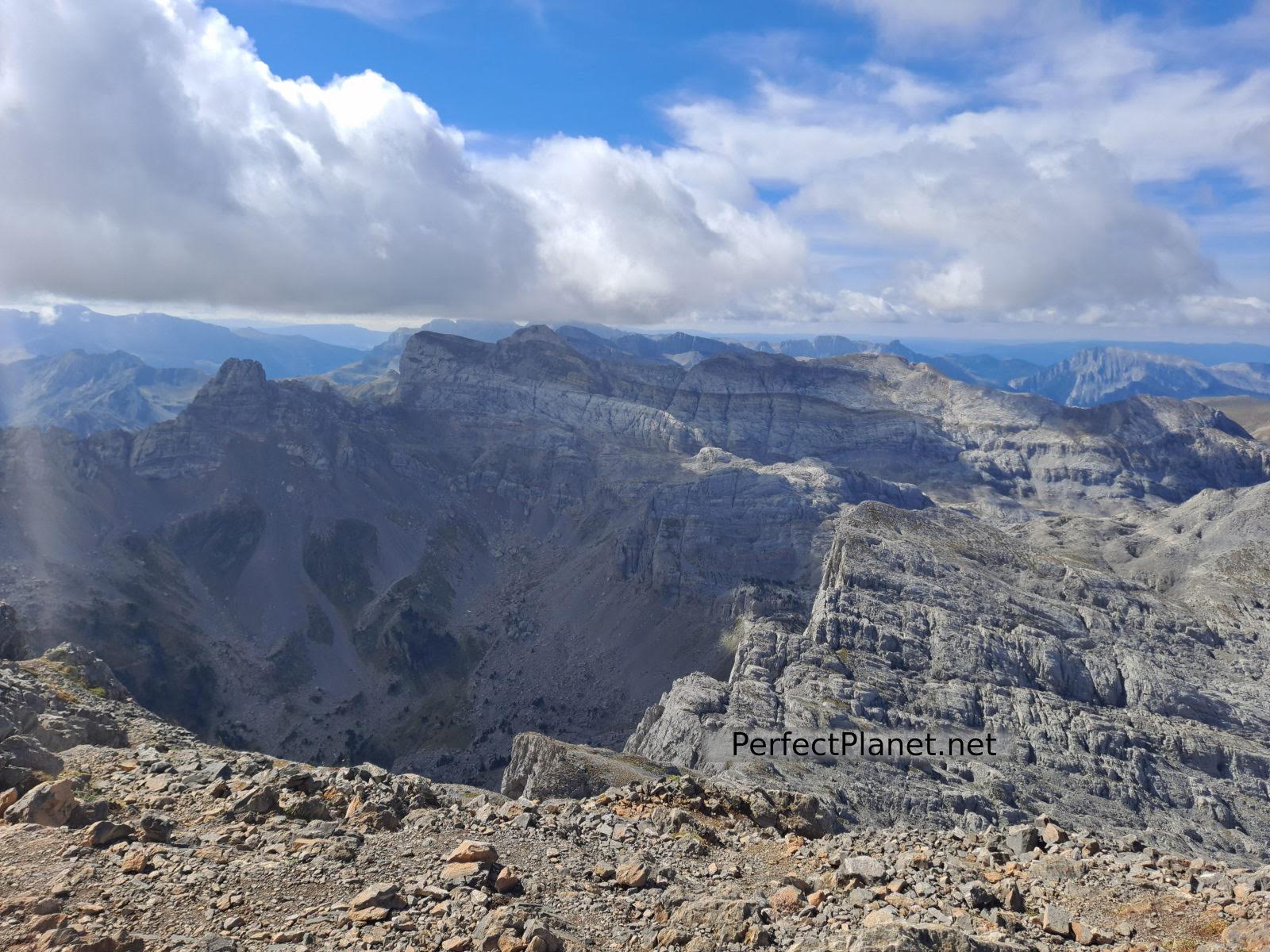
Views
We return along the same path until we reach the car park.
Route: linear
Distance: 12 kilometres
Elevation gain: 1,000 metres
Track on Wikiloc
Difficulty: moderate
Tips: if you do this route in summer remember that there is no shade or water along the whole route, so you should always be protected with sun cream and carry enough water. If you do the winter variant remember to take full equipment, ice axe and crampons. Be careful in winter as it is a kasrtika area with crevasses, a spectacular lapiaz that could be dangerous with little snow. Also be careful in foggy weather as it is very easy to get lost.
Whoever makes full or partial use of this track and its additional information, assumes full responsibility for the risks inherent in the practice of the activity, this information is for guidance purposes only.
Map
You may be interested in
- Log in to post comments