One of the most beautiful peaks in the Western Valleys Natural Park is the Mallo de Acherito (2,374 metres).
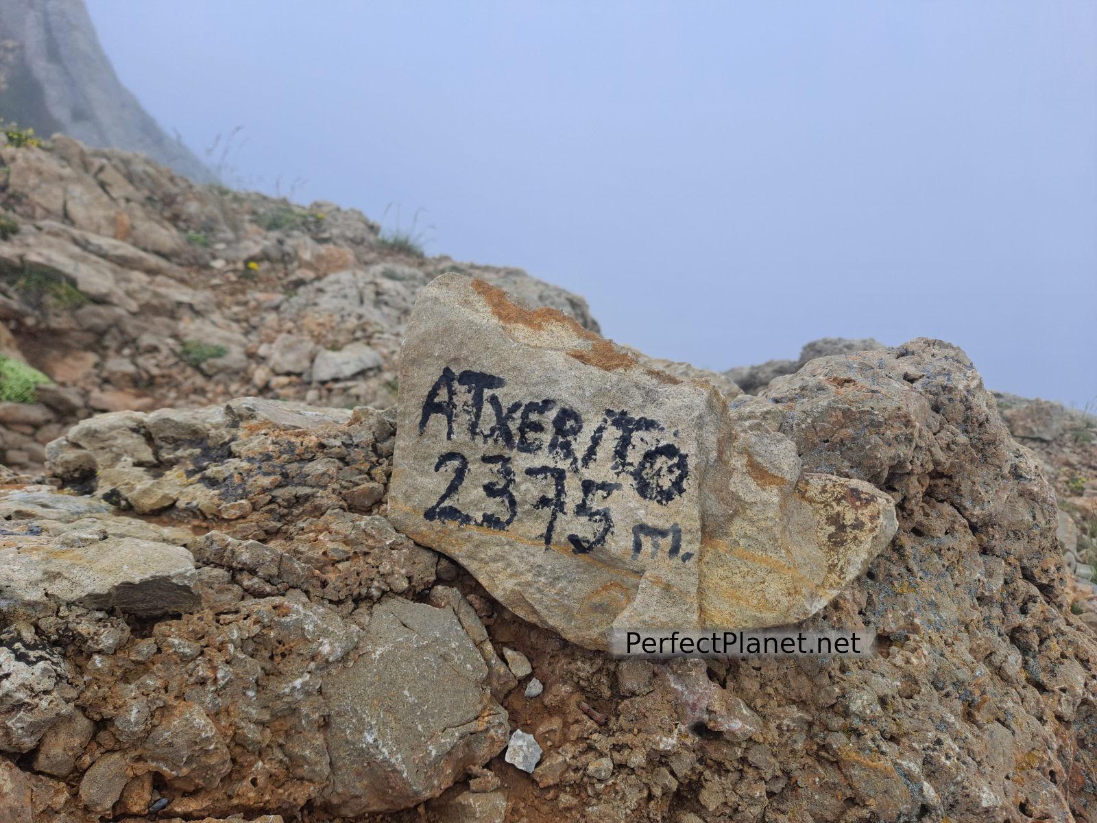
Acherito
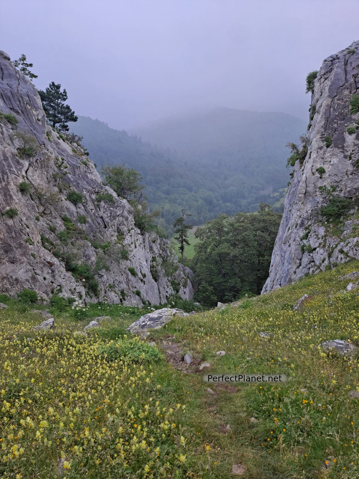
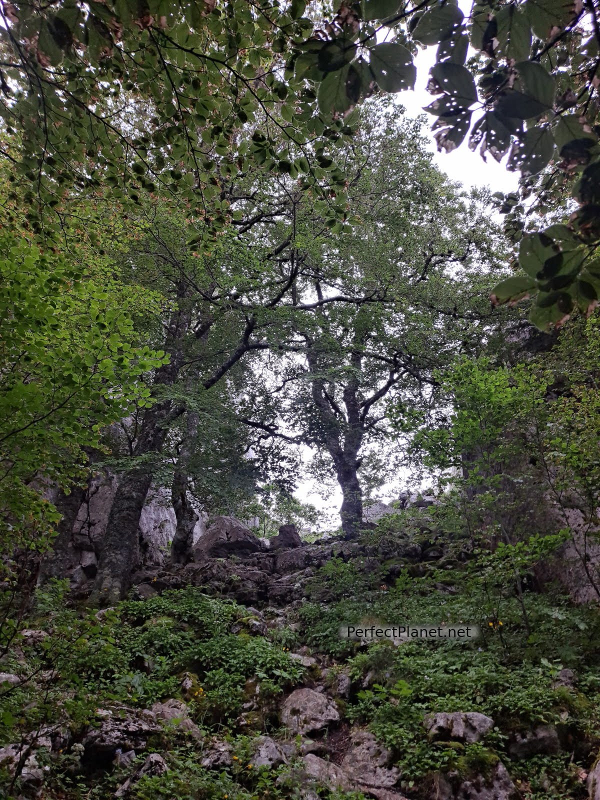
A peak with little technical difficulty although with demanding slopes surrounded by a spectacular beech forest.
We start our route in the car park of the Linza refuge. We take the track that leaves in front of the refuge in the direction of Paso del Caballo and Bosque de Gamueta following the green and yellow markings. We start the day raining, although it is only a drizzle, let's see how the day goes.
Horse pass
We reach the Caballo pass and take the path to the left towards Chinebral de Gamueta, leaving the green and yellow waymarks.

Horse pass
We cross the forest until we reach the so-called Paso del Oso (Bear Pass) where we find a bighorn sheep. To our right we leave a metal shelter. We have emerged from the cloud and the day is clear.
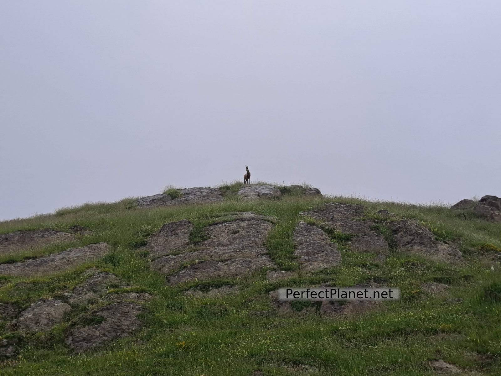
Sarrio
In front of the refuge there are two paths, the one on the left, more direct and stony, and the one in front, grassier, which will also take us to the Chinebral peak.

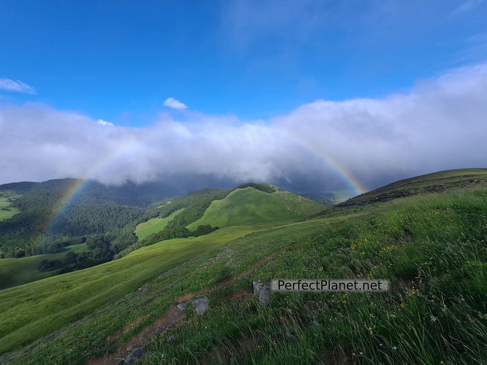
Views
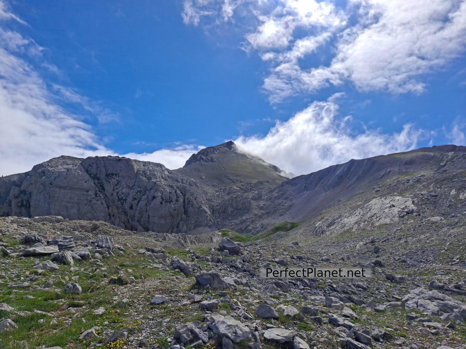
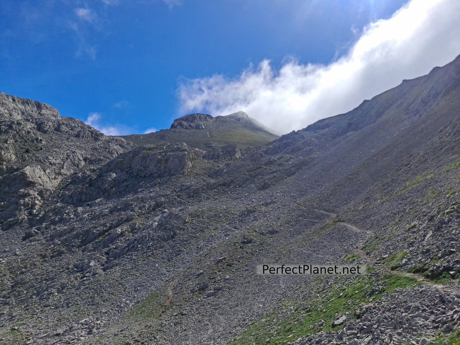
Once on the pass we turn left, and we can see our objective.

Acherito
Acherito
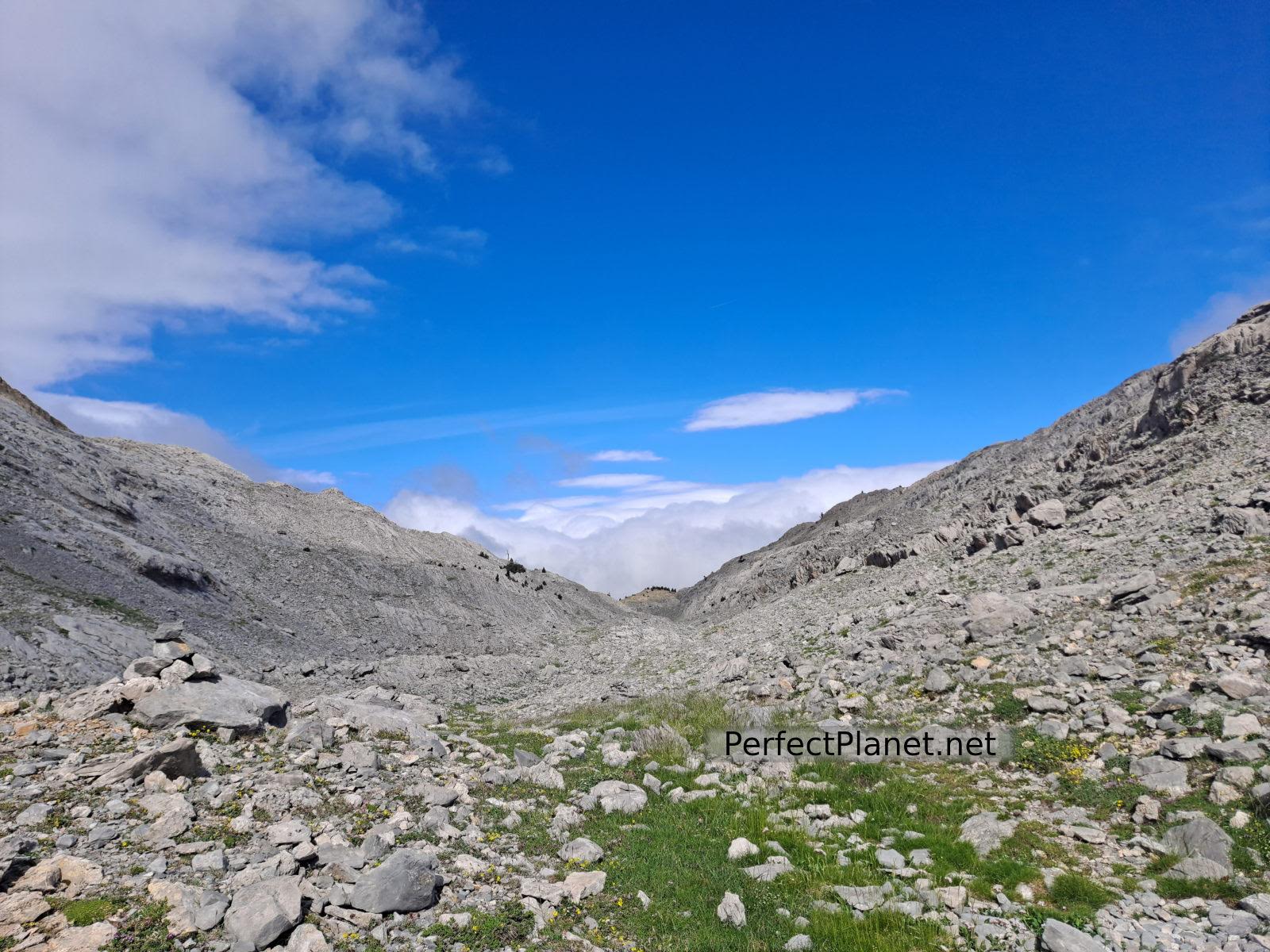
We follow the milestones through a more stony but flatter area until we reach the last spur, which we will climb with decomposed stones but with a well-marked path that zigzags in small zags.
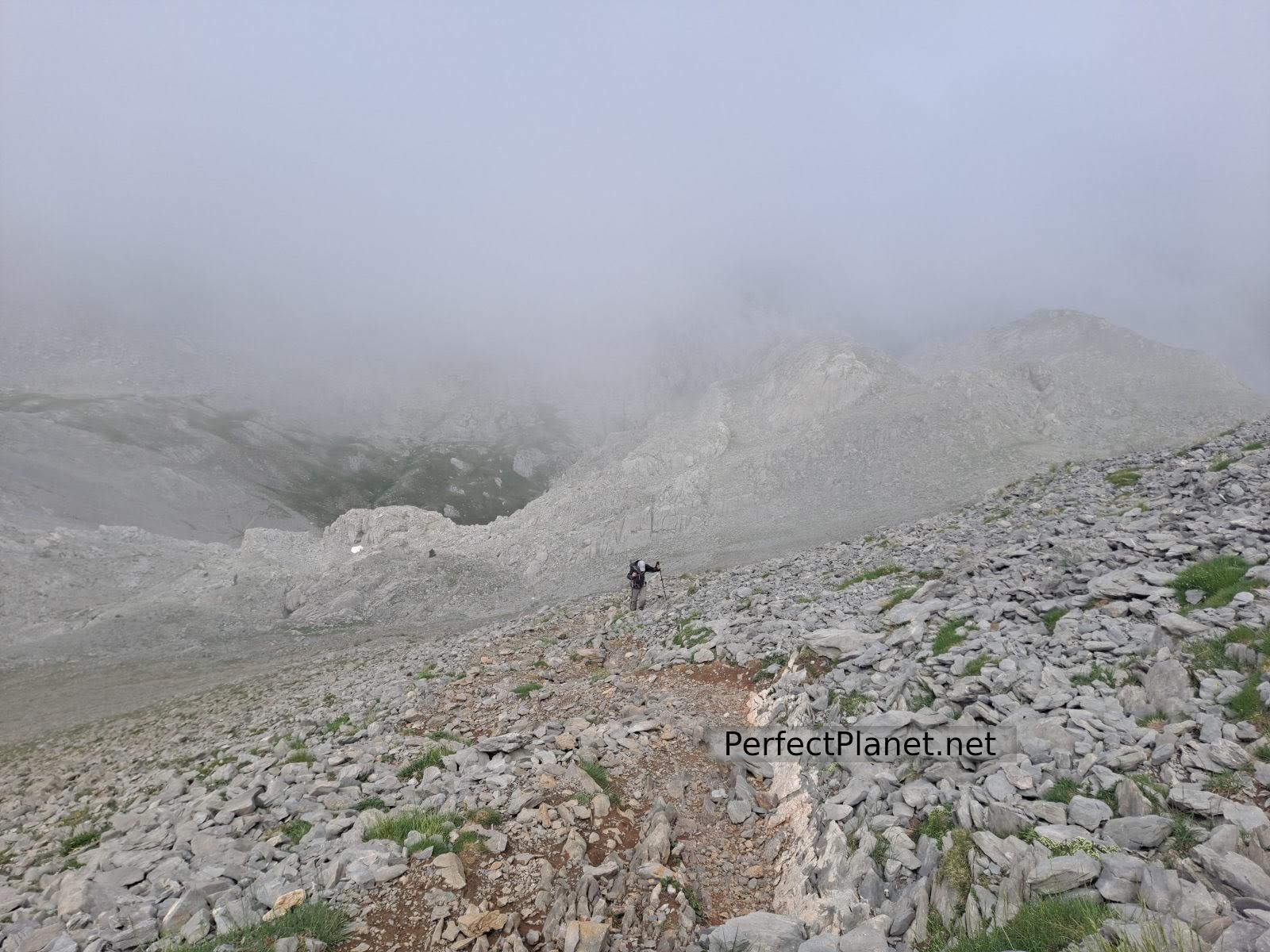
Acherito
We make the summit and the clouds are with us, so we are not lucky enough to enjoy the views, which are surely wonderful.
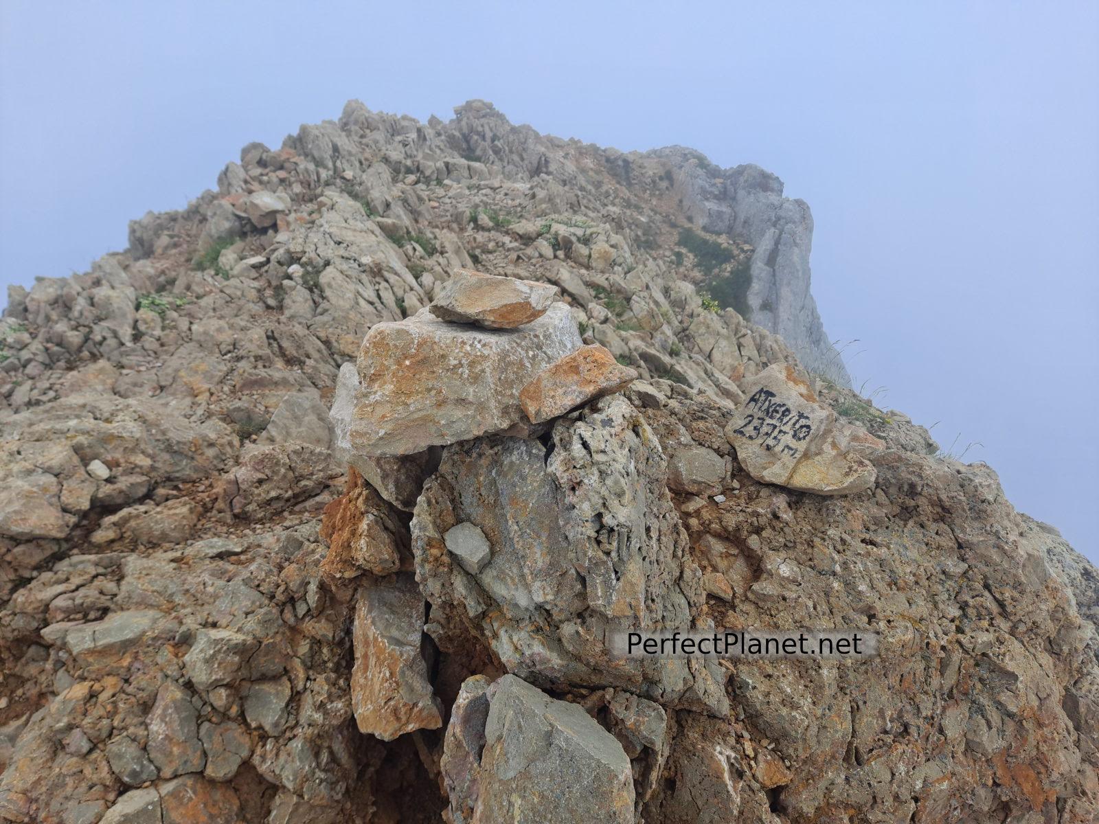
Acherito
We descend via the Foya de los Ingenieros but the fog and rain accompany us so that we can see practically nothing until we reach the refuge again.
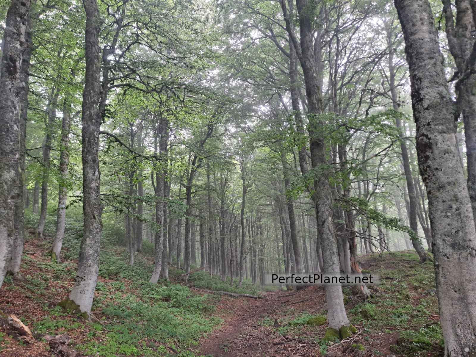
Forest
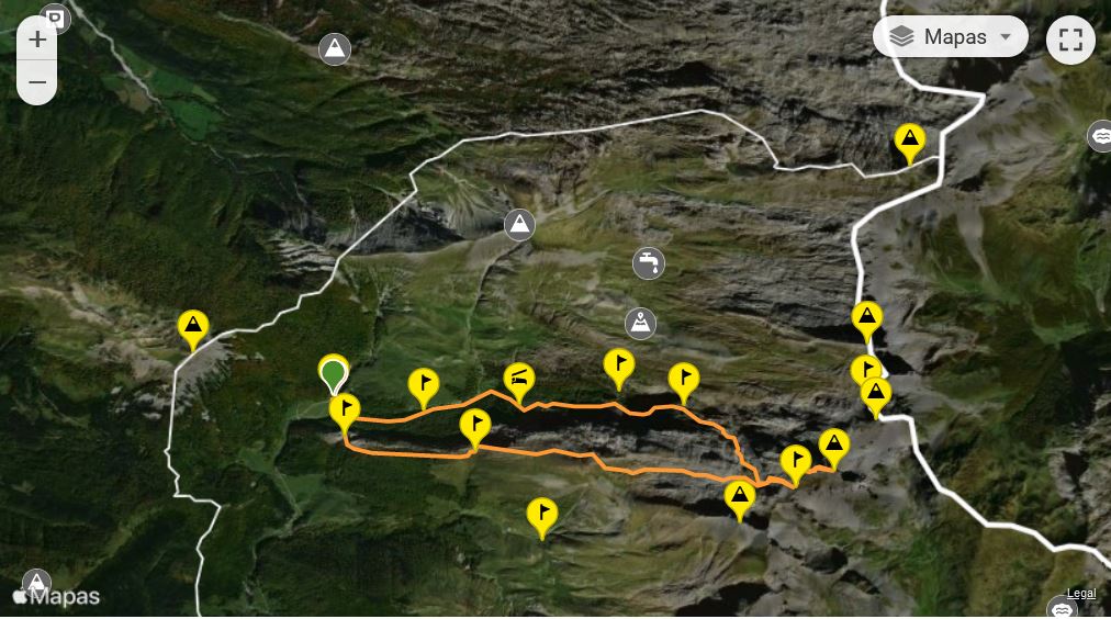
Route: circular
Distance: 13 kilometres
Elevation gain: 1,000 metres
Track on Wikiloc
Difficulty: moderate
Tips: if you do this route in summer remember that there is no shade or water along the whole route, so you should always be protected with sun cream and carry enough water. If you do the winter variant remember to take full equipment, ice axe and crampons.
Whoever uses and follows all or part of this track and its additional information, assumes full responsibility for the risks inherent in the practice of the activity, this information is for guidance purposes only.
Map
You may be interested in
- Log in to post comments